Glenwood Dunes Trails
- 10.3 mi
- one way
- 134 ft
- climb
- 686 ft
- high point
- Point to point
- route
- Apr–Oct
- best months
Is Glenwood Dunes Trails open right now?
Closure reported
The National Park Service lists a closure that covers Glenwood Dunes Trails.
Partial Closures to Little Calumet River Trail and Glenwood Dunes Trail
Park closure covering Indiana Dunes National Park · NPS · Indiana Dunes National Park
Partial Trail Closures on Bailly / Chellberg Trail
Park closure covering Indiana Dunes National Park · NPS · Indiana Dunes National Park
Closure - Heron Rookery Trail
Park closure covering Indiana Dunes National Park · NPS · Indiana Dunes National Park
Partial Closure - Upland Trail
Park closure covering Indiana Dunes National Park · NPS · Indiana Dunes National Park
Closure - Hobart Woodland Trail
Park closure covering Indiana Dunes National Park · NPS · Indiana Dunes National Park
As of · Source: NPS · Indiana Dunes National Park. Agencies don't list every closure — check before you go.
Glenwood Dunes Trails is a 10.3-mile point-to-point hike in Indiana Dunes National Park, managed by the National Park Service. The route rises from about 668 feet to 686 feet, with a total elevation gain of 134 feet, and the steepest stretch comes at about 6.9 miles in, where the grade reaches 11 percent. The trail is rated hard, and horses are not allowed. Late spring and early fall are the most comfortable times to go. Typical averages from a nearby weather station show May highs around 68°F and September highs around 74°F, with July the warmest month at about 82°F. The Glenwood Dunes Trail (Main) and the Calumet Dunes Trail both start within a mile, and the Dune Ridge Trail is about 1.7 miles away. Paddlers can reach the East Arm Little Calumet River, about 5 miles off.
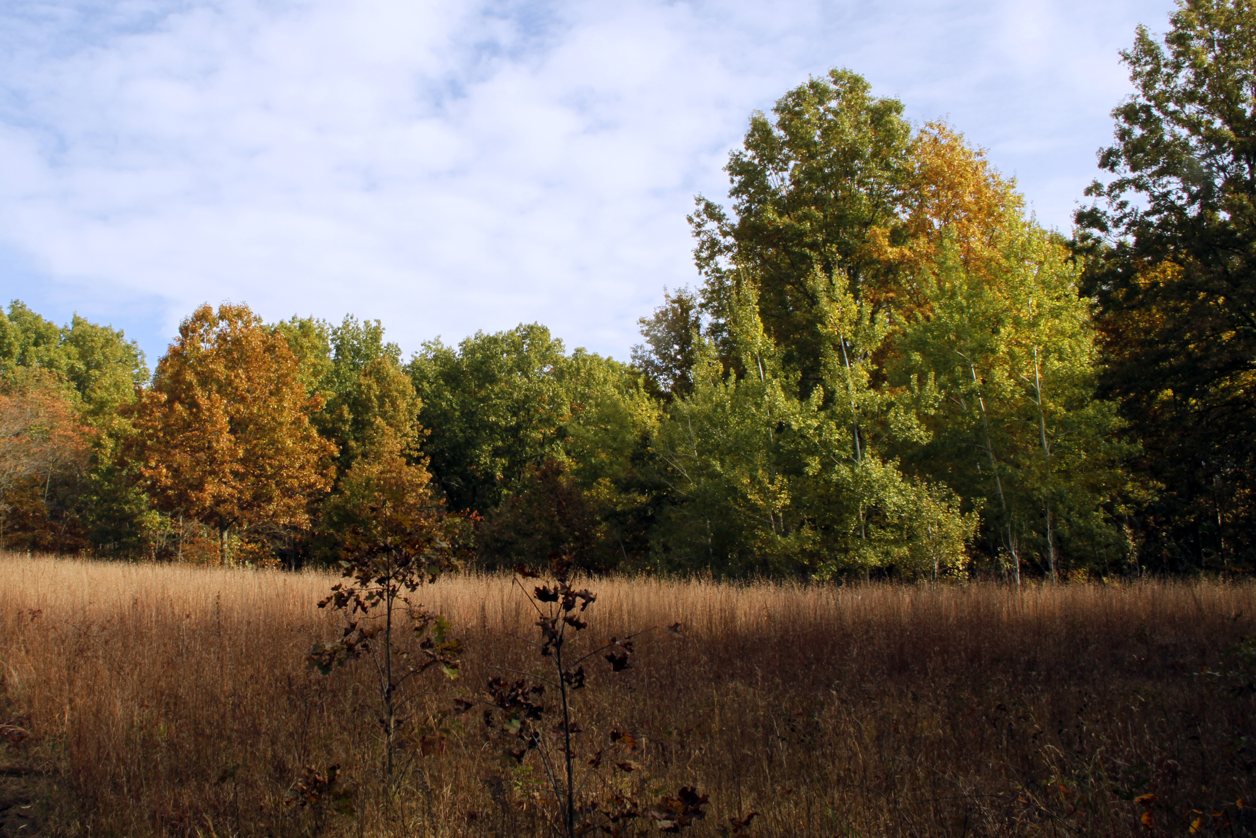 Glenwood Dunes Trail (Main)HikingPhoto: NPS Photo / Jeff Manuszak0.8 mi
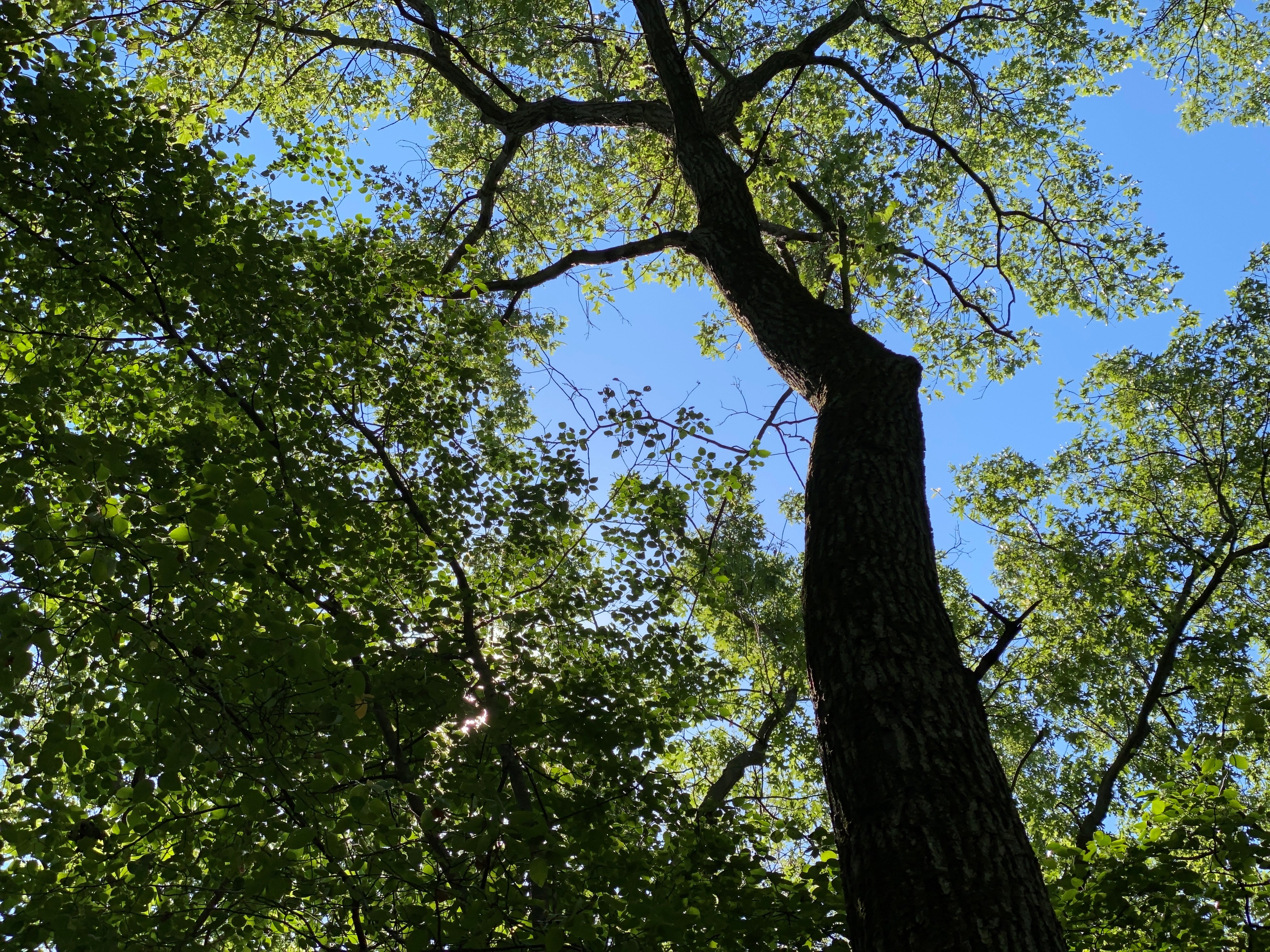 Calumet Dunes TrailHikingPhoto: NPS Photo / Steven M. Rossi0.9 mi
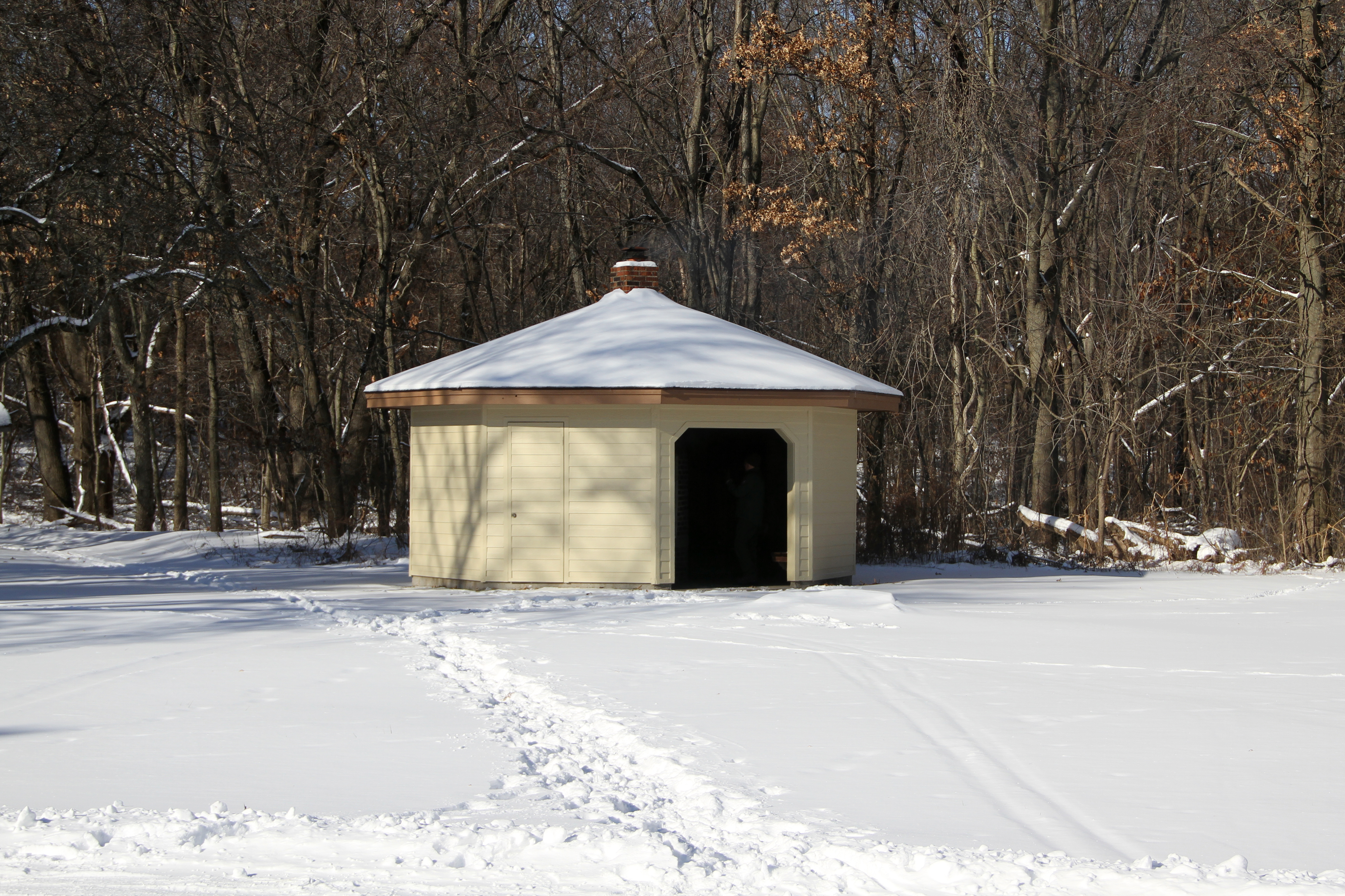 Glenwood Dunes Trail (Alternate)HikingPhoto: NPS Photo / K. George0.9 mi
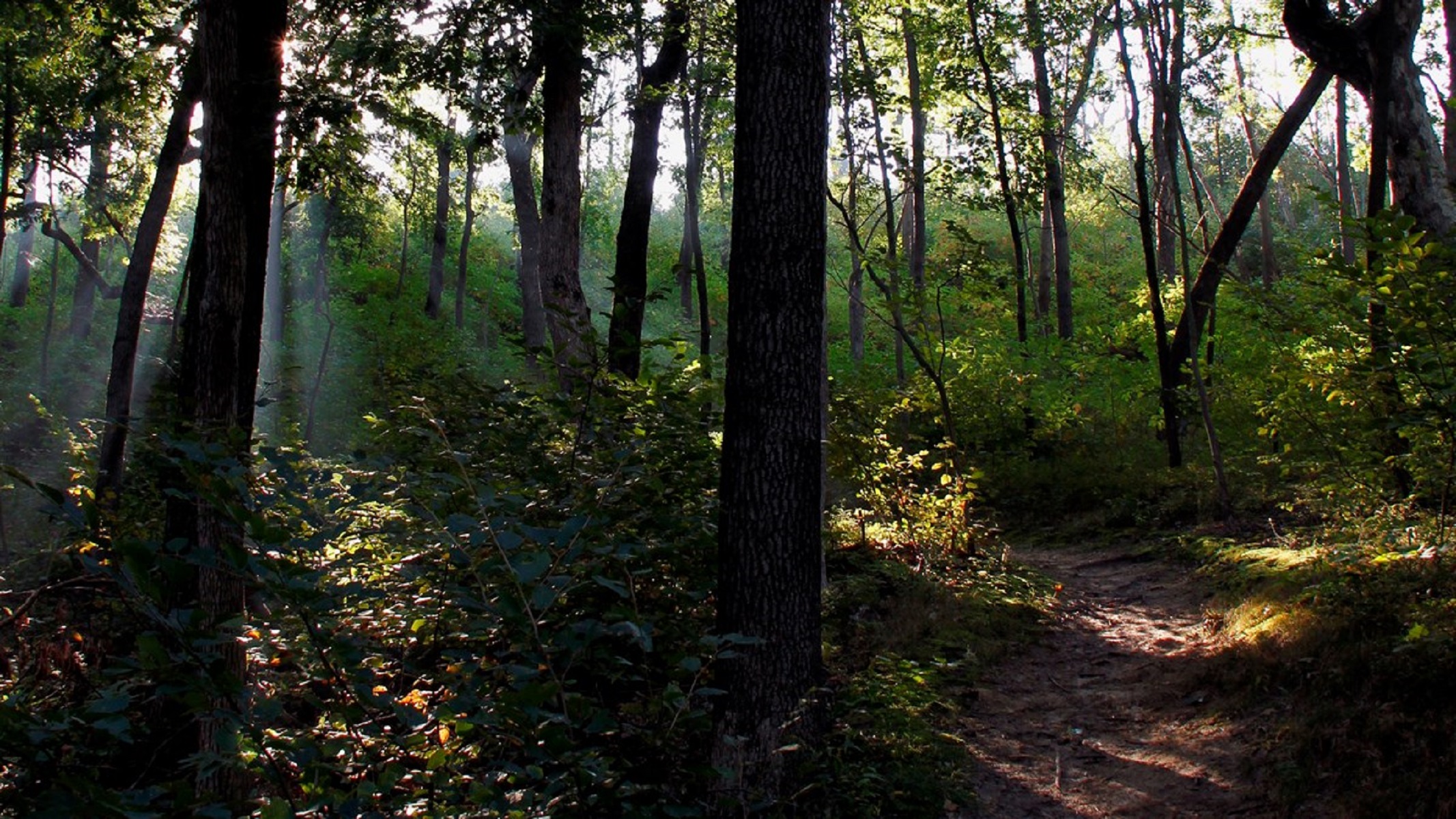 Dune Ridge TrailHikingPhoto: NPS Photo / K. George1.7 mi
- Beach TrailHiking1.9 mi
- Dlt P - Broadway to Mt. BaldyHiking2.6 mi
 East Arm Little Calumet RiverCanoeingPhoto: Schmiebel, CC BY-SA 3.0 (via Wikimedia Commons)5.1 mi
- Lake Michigan Water TrailCanoeing8 mi
Source: Roamze catalog (indexable pages within 10 miles, PostGIS distance)
- Glenwood Dunes Trail (Main)Hiking · ~1 min drive
- Glenwood Dunes Trail (Alternate)Hiking · ~2 min drive
- Dlt N - Howe Rd to BroadwayHiking · ~7 min drive
 Dlt H - N. Lake to Midwest RdHiking · ~22 min drivePhoto: phcordner, CC BY-SA 2.0 (via Flickr)
- Calumet Dunes TrailHiking · ~2 min drive
- Adt - Indiana (North) - G - Seg 3Hiking · ~46 min drive
- Dlt J - Midwest to HoweHiking · ~14 min drive
- Dune Ridge TrailHiking · ~3 min drive
- Dunes Long Trail AlternatesHiking · ~15 min drive
- Heron Rookery (West)Hiking · ~6 min drive
Best time to visit Glenwood Dunes Trails
Best months: April–October. Best months have typical highs of 55–85 °F, lows of 30 °F or warmer (32 °F where the station doesn't record snow), at most one snowy day and no more than 12 wet days.
Jan
32° / 18°
12 wet
Feb
36° / 21°
10 wet
Mar
46° / 30°
11 wet
Apr
57° / 40°
11 wet
May
68° / 50°
12 wet
Jun
78° / 60°
11 wet
Jul
82° / 64°
10 wet
Aug
80° / 63°
10 wet
Sep
74° / 56°
10 wet
Oct
62° / 45°
11 wet
Nov
49° / 34°
11 wet
Dec
37° / 24°
12 wet
Typical high / low (°F) and days with rain or snow, 1991–2020. Measured at Indiana Dunes Nl, IN, 3.6 mi away at 680 ft. This station doesn't record snowfall. Source: NOAA NCEI U.S. Climate Normals 1991–2020.
Closures we've recorded since August 2026
Partial Closures to Little Calumet River Trail and Glenwood Dunes Trail
Indiana Dunes National Park · seen Aug 23, 2026, no lift recorded · National Park Service
Map and trail data © OpenStreetMap contributors
