Upland Trail
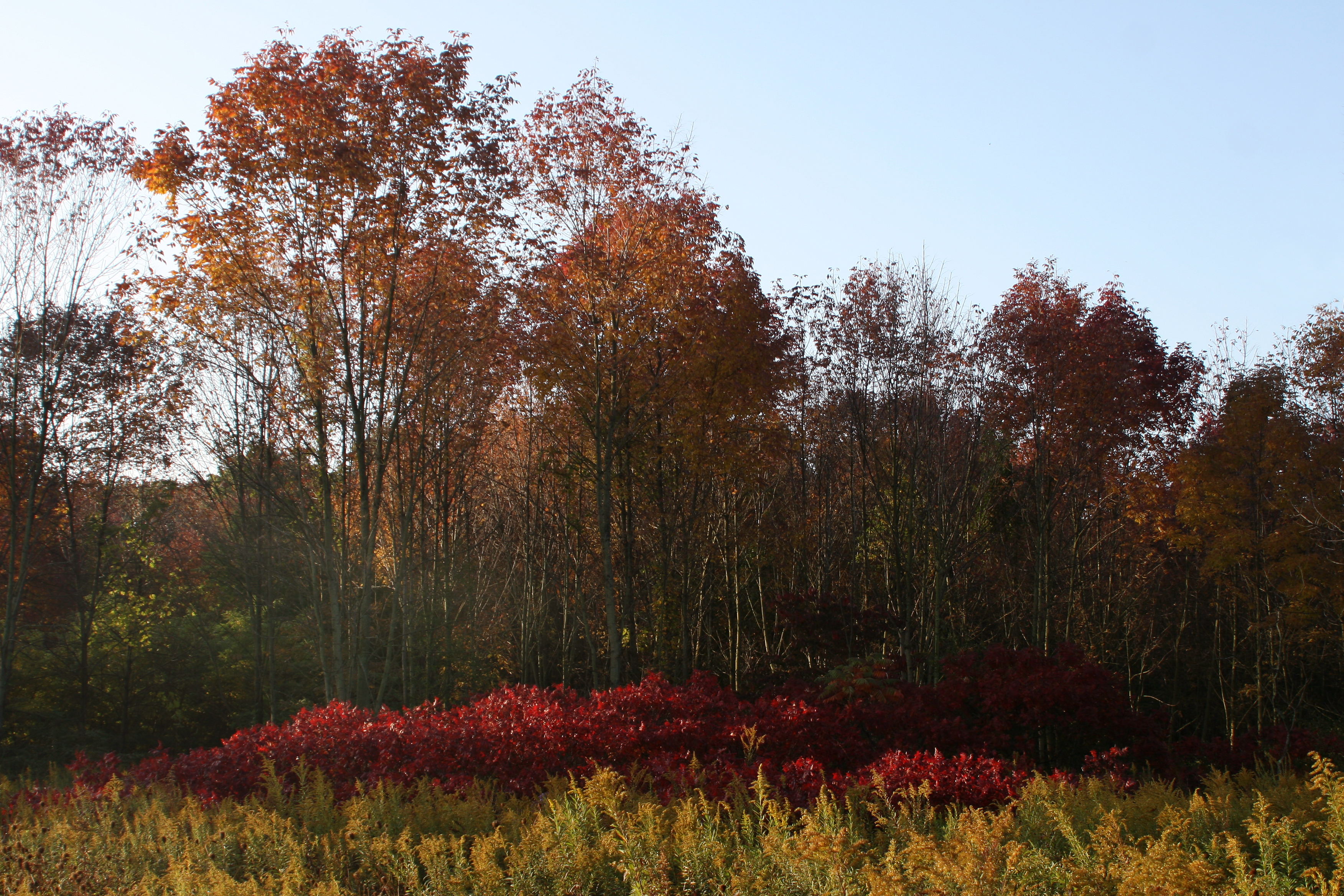 Photo: NPS Photo / K. George
- 0.5 mi
- loop
- Loop
- route
- Easy
- difficulty
- Jun–Oct
- best months
Is Upland Trail open right now?
Closure reported
The National Park Service lists a closure that covers Upland Trail.
Partial Closure - Upland Trail
Park closure covering Indiana Dunes National Park · NPS · Indiana Dunes National Park
Partial Trail Closures on Bailly / Chellberg Trail
Park closure covering Indiana Dunes National Park · NPS · Indiana Dunes National Park
Closure - Heron Rookery Trail
Park closure covering Indiana Dunes National Park · NPS · Indiana Dunes National Park
Closure - Hobart Woodland Trail
Park closure covering Indiana Dunes National Park · NPS · Indiana Dunes National Park
Partial Trail Closure - Dunewood Trace
Park closure covering Indiana Dunes National Park · NPS · Indiana Dunes National Park
As of · Source: NPS · Indiana Dunes National Park. Agencies don't list every closure — check before you go.
Upland Trail 2.1 miles, 97 feet of elevation gain, 2% average grade, 4% maximum grade Hike time: 1.5 hours The Pinhook Bog Trail System features two very different habitats. The Upland Trail highlights a rich beech and maple forest growing on top of a glacial moraine formed about 15,000 years ago. The Bog Trail leads to a bog in a depression in the moraine created when a large piece of ice broke off the melting glacier. The bog features an incredible habitat with unique plants. This featured hike is a lollipop shaped trail. Starting at the parking lot trailhead, take the trail east to the junction with the loop trail. The preferred direction is clockwise or to the left. The trail winds through mature beech and maple forest as you hike over the undulating moraine topology. There is a nice view of the bog near the south end of the loop. Upon returning to the loop junction, turn left and follow the trail back to the parking lot. Trail Features: Bog, Unique Plants, Wildflowers, Wildlife Must See Gems: Pinhook Bog History and Background Bogs like Pinhook are relics of our glacial past. Trapped in the pulverized clay and rock left behind by a melting glacier, the bog began as a kettle lake. Cut off from ground water, Pinhook's water gradually became acidic. Sphagnum moss, tolerant of acidic waters, formed floating mats that eventually supported carnivorous plants like pitcher plants and sundew, orchids like pink lady's slipper and ferns. Over time, blueberry and holly shrubs colonized this unique acidic bog, eventually giving way to larger trees like tamarack and red maple. Pinhook Bog is on the National Natural Landmark list. Getting There Trailhead Parking Lot 957 N. Wozniak Road, La Porte, IN 46350 Trailhead GPS Coordinates 41.621214, -86.850227 (Decimal Degrees) Need to Know Hours & Information • Hours – The Upland Trail and parking lot are open daily from 6:00 am to 11:00 pm. The Bog Trail has Restricted Access. The bog is only open during ranger-led open houses on summer weekends. Program dates and times can be obtained by calling the Indiana Dunes Visitor Center at (219) 395-1882. Information can also be found on the park's website calendar and Facebook page. • Hike Length – Upland Trail: 2.1 miles. Bog Trail: 0.9 miles. • Hike Time – Upland Trail: 1.5 hours. Bog Trail: 1 hour. • Difficulty – Easy to moderate with some elevation change. • Trail Surface – Upland Trail: Packed dirt. Trail can be very wet and muddy. Bog Trail: Packed dirt with a section of floating boardwalk that submerges when walked on. Wear waterproof boots. • Facilities – Seasonal porta potty. No potable water. • Pets – Upland Trail: Permitted on a leash (6’ or shorter). Bog Trail: Prohibited for habitat protection. • Prohibited – Bicycles and motorized vehicles. • Prohibited – Littering, hunting, and removing plants. • Hiking off the boardwalk on the Bog Trail is strictly prohibited. • There are two picnic tables at the parking lot. • The parking lot is paved. Safety • Please stay on the trail and respect closed area signs. Going off trail damages fragile habitat. • Wear adequate footwear. The Upland Trail can be very wet and muddy. The Bog Trail has a floating boardwalk that submerges when walked on. Wear waterproof boots. • Ticks are present year-round. Take precautionary measures to prevent bites. • Poison ivy can be present on the edges of the trail. • Be prepared for changing weather conditions. • In case of an emergency or to report a crime, call 1-800-PARK-TIP. Accessibility • Trails and picnic tables are not wheelchair accessible. Trail Map View a detailed map of the Upland and Pinhook Bog trails. All hiking trail maps of the Indiana Dunes National Park are available online on our website or in paper at the trailhead kiosk or the Indiana Dunes Visitor Center. Nearby Hikes Heron Rookery Great Marsh Glenwood Dunes
- Heron Rookery (East)Hiking · ~9 min drive
- Glenwood Dunes Trail (Main)Hiking · ~15 min drive
- Glenwood Dunes TrailsHiking · ~16 min drive
- Heron Rookery (West)Hiking · ~11 min drive
 Dlt H - N. Lake to Midwest RdHiking · ~37 min drivePhoto: phcordner, CC BY-SA 2.0 (via Flickr)
- Dlt N - Howe Rd to BroadwayHiking · ~22 min drive
- Calumet Dunes TrailHiking · ~15 min drive
- Dlt R - Long Beach to New BuffaloHiking · ~14 min drive
- Glenwood Dunes Trail (Alternate)Hiking · ~15 min drive
- Dlt J - Midwest to HoweHiking · ~29 min drive
Best time to visit Upland Trail
Best months: June–October. Best months have typical highs of 55–85 °F, lows of 30 °F or warmer (32 °F where the station doesn't record snow), at most one snowy day and no more than 12 wet days.
Jan
31° / 17°
16 wet · 11 snow
Feb
35° / 20°
13 wet · 9 snow
Mar
46° / 29°
13 wet · 5 snow
Apr
59° / 39°
13 wet · 1 snow
May
70° / 50°
13 wet
Jun
79° / 60°
11 wet
Jul
82° / 64°
10 wet
Aug
80° / 63°
10 wet
Sep
74° / 55°
10 wet
Oct
62° / 44°
12 wet
Nov
48° / 33°
13 wet · 3 snow
Dec
36° / 23°
15 wet · 8 snow
Typical high / low (°F) and days with rain or snow, 1991–2020. Measured at Laporte, IN, 6.3 mi away at 809 ft. Source: NOAA NCEI U.S. Climate Normals 1991–2020.
Closures we've recorded since August 2026
Partial Closure - Upland Trail
Indiana Dunes National Park · seen Sep 4, 2026, no lift recorded · National Park Service

