Dlt H - N. Lake to Midwest Rd
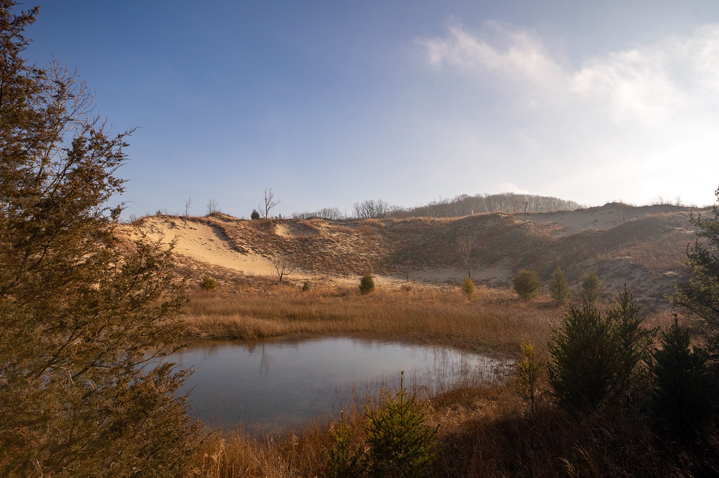
 Photo: phcordner, CC BY-SA 2.0 (via Flickr)
- 5.5 mi
- one way
- 43 ft
- climb
- 652 ft
- high point
- Point to point
- route
- Apr–Oct
- best months
Clear today
Weather is good · OpenWeather · checked 11 h ago
Is Dlt H - N. Lake to Midwest Rd open right now?
Closure in the area
There's a closure order in Indiana Dunes National Park. It doesn't name Dlt H - N. Lake to Midwest Rd, so check the source for the area it covers (6 listed).
Partial Trail Closures on Bailly / Chellberg Trail
Park closure covering Indiana Dunes National Park · NPS · Indiana Dunes National Park
Closure - Heron Rookery Trail
Park closure covering Indiana Dunes National Park · NPS · Indiana Dunes National Park
Partial Closure - Upland Trail
Park closure covering Indiana Dunes National Park · NPS · Indiana Dunes National Park
Closure - Hobart Woodland Trail
Park closure covering Indiana Dunes National Park · NPS · Indiana Dunes National Park
Partial Trail Closure - Dunewood Trace
Park closure covering Indiana Dunes National Park · NPS · Indiana Dunes National Park
As of · Source: NPS · Indiana Dunes National Park. Agencies don't list every closure — check before you go.
Dlt H - N. Lake to Midwest Rd is a 5.5-mile hike in Indiana Dunes National Park, managed by the National Park Service. It is a point-to-point route, and the one-way climb is about 43 feet. The steepest stretch is at 3.2 miles, where the grade reaches 8%. For comfortable weather, late spring and early fall are good bets. Typical averages from a nearby weather station show May highs around 68°F and September highs around 74°F. The route starts at the northern end of the Dunes Long Trail network. The closest neighbor is the Paul H. Douglas Trail, about 0.3 miles away. West Beach Trail - Three Loops and Tolleston Dunes Trail are both within about 3.5 miles. The Portage Lakefront and Riverwalk Trail is roughly 5 miles off.
- Paul H. Douglas TrailHiking0.3 mi
 West Beach Trail - Three LoopsHikingPhoto: RuggyBearLA, CC BY 2.0 (via Flickr)3.1 mi
 Tolleston Dunes TrailHikingPhoto: hakkun, CC BY-SA 3.0 (via Wikimedia Commons)3.5 mi
- Dunes Long Trail AlternatesHiking4.2 mi
- Portage Lakefront and Riverwalk TrailHiking4.9 mi
- Dlt J - Midwest to HoweHiking5 mi
- Lake Michigan Water TrailCanoeing7.6 mi
- Little Calumet River TrailHiking8.5 mi
Source: Roamze catalog (indexable pages within 10 miles, PostGIS distance)
- West Beach Trail - Three LoopsHiking · ~5 min drivePhoto: RuggyBearLA, CC BY 2.0 (via Flickr)
- Glenwood Dunes Trail (Main)Hiking · ~23 min drive
- Dlt N - Howe Rd to BroadwayHiking · ~15 min drive
- Tolleston Dunes TrailHiking · ~6 min drivePhoto: hakkun, CC BY-SA 3.0 (via Wikimedia Commons)
 Yellow LoopHiking · ~54 min drivePhoto: Darek214, CC BY 2.0 (via Flickr)
- Glenwood Dunes TrailsHiking · ~22 min drive
- Glenwood Dunes Trail (Alternate)Hiking · ~24 min drive
- Dunes Long Trail AlternatesHiking · ~7 min drive
- Adt - Indiana (North) - G - Seg 3Hiking · ~24 min drive
- Calumet Dunes TrailHiking · ~24 min drive
Best time to visit Dlt H - N. Lake to Midwest Rd
Best months: April–October. Best months have typical highs of 55–85 °F, lows of 30 °F or warmer (32 °F where the station doesn't record snow), at most one snowy day and no more than 12 wet days.
Jan
32° / 18°
12 wet
Feb
36° / 21°
10 wet
Mar
46° / 30°
11 wet
Apr
57° / 40°
11 wet
May
68° / 50°
12 wet
Jun
78° / 60°
11 wet
Jul
82° / 64°
10 wet
Aug
80° / 63°
10 wet
Sep
74° / 56°
10 wet
Oct
62° / 45°
11 wet
Nov
49° / 34°
11 wet
Dec
37° / 24°
12 wet
Typical high / low (°F) and days with rain or snow, 1991–2020. Measured at Indiana Dunes Nl, IN, 9.5 mi away at 680 ft. This station doesn't record snowfall. Source: NOAA NCEI U.S. Climate Normals 1991–2020.

Map and trail data © OpenStreetMap contributors
