Terrill Ridge Trail
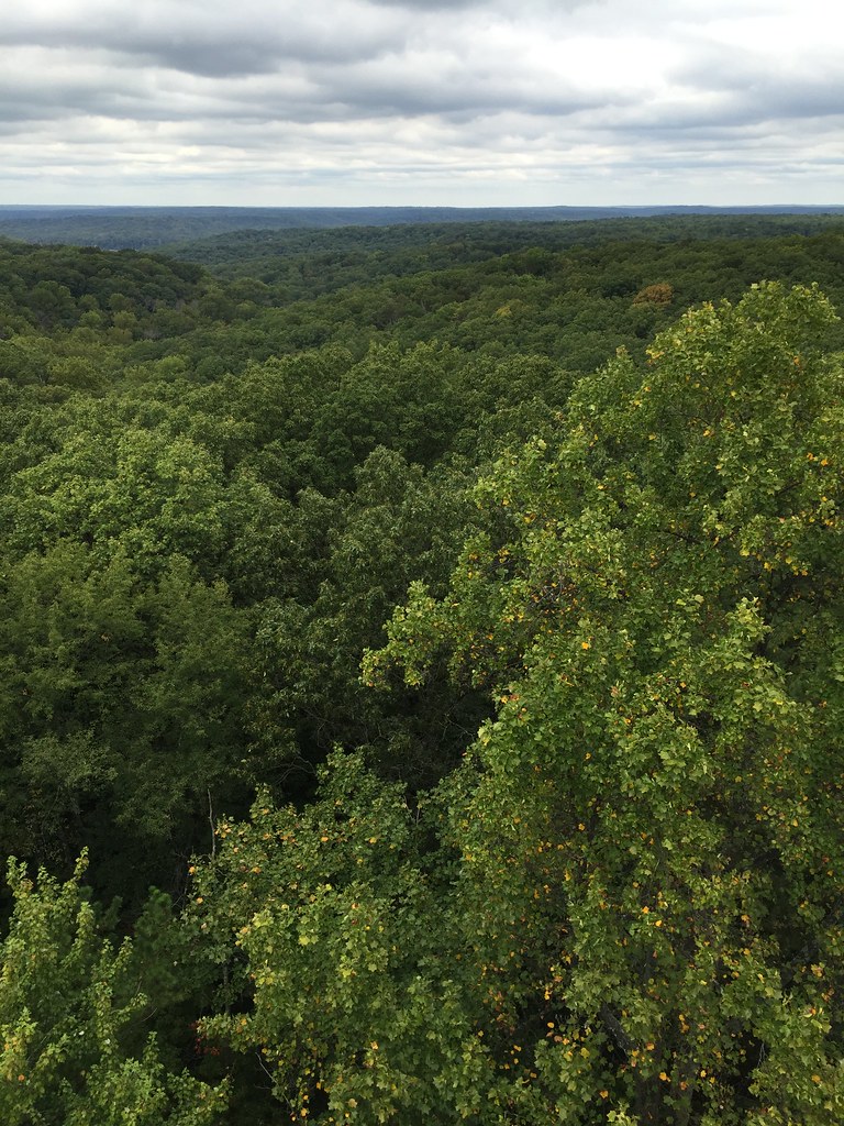 Photo: usfs_Eastern_Region, Public Domain Mark (via Flickr)
- 3.7 mi
- round trip
- 295 ft
- climb
- 899 ft
- high point
- Out and back
- route
- Apr, Jun–Oct
- best months
Is Terrill Ridge Trail open right now?
Closure in the area
There's a closure order in Hoosier National Forest. It doesn't name Terrill Ridge Trail, so check the source for the area it covers.
Firewood Permits
Agency closure covering Hoosier National Forest · USFS · Hoosier National Forest
Mano Point boat launch is sedimented in
Agency alert covering Hoosier National Forest · USFS · Hoosier National Forest
Hickory Ridge Trail 16 Closed
Agency alert covering Hoosier National Forest · Order 09-12-25-05 · USFS · Hoosier National Forest
Rainbow Lake Area Closure
Agency alert covering Hoosier National Forest · Order 09-12-25-03 · USFS · Hoosier National Forest
Seasonal Cave Closure in Effect
Agency alert covering Hoosier National Forest · Order 09-12-25-04 · USFS · Hoosier National Forest
As of · Source: USFS · Hoosier National Forest. Agencies don't list every closure — check before you go.
Terrill Ridge Trail is a 3.7-mile out-and-back hike in the Brownstown Ranger District of Hoosier National Forest in southern Indiana. The trail runs from about 811 feet to about 899 feet, so the climb is gentle, with a total elevation gain of about 295 feet. The steepest stretch comes in the first 0.15 miles, at about 7 percent grade, and the whole trip is rated moderate. The route is open year-round. Late spring and early fall are the most comfortable times to go. Typical averages from a nearby weather station in Bloomington run to highs around 74°F in May and 78°F in September, with fewer wet days in September than in other months. Horses are allowed on the trail, but bikes are not. The hike takes about 1.5 hours. Sycamore Trail is just 0.3 miles away and Hickory Ridge 19 is 0.9 miles off. For an overnight stay, Blackwell Campground is about 3.9 miles away and Hickory Ridge Campground is about 4.3 miles away.
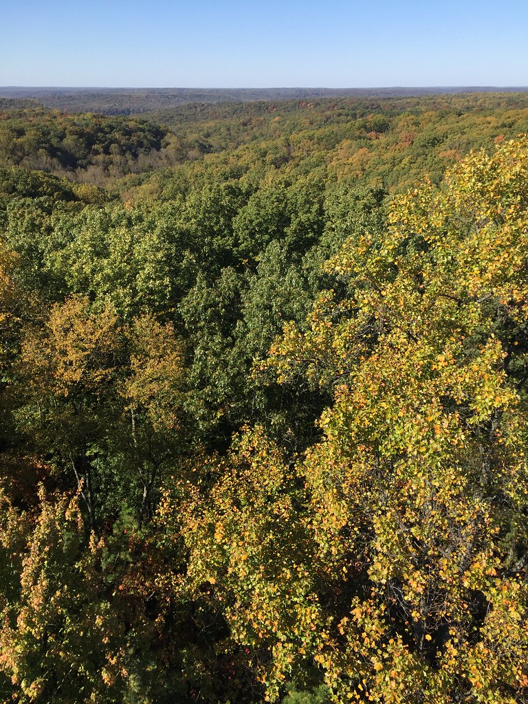 Sycamore TrailHikingPhoto: usfs_Eastern_Region, Public Domain Mark (via Flickr)0.3 mi
- Hickory Ridge 19HikingPhoto: usfs_Eastern_Region, Public Domain Mark (via Flickr)0.9 mi
 Axsom Branch TrailHikingPhoto: usfs_Eastern_Region, Public Domain Mark (via Flickr)1.2 mi
- Martin Hollow TrailHikingPhoto: usfs_Eastern_Region, Public Domain Mark (via Flickr)1.4 mi
- Blackwell CampgroundCamping3.9 mi
- Hickory Ridge CampgroundCamping4.3 mi
- Hardin Ridge Recreation AreaCamping6 mi
- Little Salt CreekCanoeing8.6 mi
Source: Roamze catalog (indexable pages within 10 miles, PostGIS distance)
- Sycamore TrailHiking · Next doorPhoto: usfs_Eastern_Region, Public Domain Mark (via Flickr)
- Hickory Ridge 19Hiking · ~2 min drivePhoto: usfs_Eastern_Region, Public Domain Mark (via Flickr)
 Patton Cave TrailHiking · ~6 min drivePhoto: usfs_Eastern_Region, Public Domain Mark (via Flickr)
- Cope Hollow TrailHiking · ~6 min drive
- Martin Hollow TrailHiking · ~2 min drivePhoto: usfs_Eastern_Region, Public Domain Mark (via Flickr)
 Hickory Ridge 13Hiking · ~7 min drivePhoto: usfs_Eastern_Region, Public Domain Mark (via Flickr)
- Grubb Ridge TrailHiking · ~7 min drive
- Peninsula TrailHiking · ~4 min drivePhoto: usfs_Eastern_Region, Public Domain Mark (via Flickr)
- Hickory Ridge 21Hiking · ~7 min drivePhoto: usfs_Eastern_Region, Public Domain Mark (via Flickr)
- Nebo Ridge Trail 1Hiking · ~8 min drive
Best time to visit Terrill Ridge Trail
Best months: April and June–October. Best months have typical highs of 55–85 °F, lows of 30 °F or warmer (32 °F where the station doesn't record snow), at most one snowy day and no more than 12 wet days.
Jan
37° / 21°
11 wet · 4 snow
Feb
42° / 23°
10 wet · 3 snow
Mar
52° / 32°
11 wet · 1 snow
Apr
64° / 42°
12 wet
May
74° / 53°
13 wet
Jun
82° / 62°
11 wet
Jul
85° / 65°
10 wet
Aug
85° / 64°
8 wet
Sep
78° / 56°
7 wet
Oct
66° / 44°
9 wet
Nov
53° / 34°
10 wet · 1 snow
Dec
41° / 26°
11 wet · 3 snow
Typical high / low (°F) and days with rain or snow, 1991–2020. Measured at Bloomington Indiana Univ, IN, 14.5 mi away at 830 ft. Source: NOAA NCEI U.S. Climate Normals 1991–2020.
