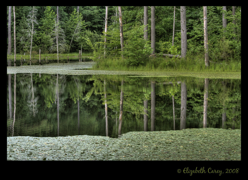
Little Salt Creek
- 12.2 mi
- distance
- 784 ft
- high point
- Apr–Oct
- best months
Caution at last check
Agency alerts are in effect for this area; weather is good · USFS, OpenWeather · checked 15 h ago
Is Little Salt Creek open right now?
Closure in the area
There's a closure order in Hoosier National Forest. It doesn't name Little Salt Creek, so check the source for the area it covers.
Mano Point boat launch is sedimented in
Agency closure covering Hoosier National Forest · USFS · Hoosier National Forest
Hickory Ridge Trail 16 Closed
Agency alert covering Hoosier National Forest · Order 09-12-25-05 · USFS · Hoosier National Forest
Rainbow Lake Area Closure
Agency alert covering Hoosier National Forest · Order 09-12-25-03 · USFS · Hoosier National Forest
Seasonal Cave Closure in Effect
Agency alert covering Hoosier National Forest · Order 09-12-25-04 · USFS · Hoosier National Forest
Hoosier National Forest fire, camping, motor vehicle use, trail use, occupancy and use prohibitions
Agency alert covering Hoosier National Forest · Order 09-12-25-01 · USFS · Hoosier National Forest
As of · Source: USFS · Hoosier National Forest. Agencies don't list every closure — check before you go.
Little Salt Creek is a paddling route in Indiana's Hoosier National Forest, within the Brownstown Ranger District. The nearest town is roughly 12 miles away. For comfortable paddling weather, aim for late spring or early fall. Typical averages from a nearby weather station at Seymour put May highs around 74°F and September highs near 78°F, with July the warmest month at about 85°F. The station sits a few hundred feet lower than the creek, so temperatures on the water may run slightly cooler. Several trails lie within a few miles, including the Ogala Trail about 2 miles away and the Fork Ridge Trail at about 3.8 miles. Paddlers looking for more water can head to White Creek, about 8 miles off, and Hickory Ridge Campground, just over 8 miles away, offers a place to stay.
Local outfitters
- Cave Country Canoes49 mi away
Not on Roamze yet. Their page has how to reach them.
- Ogala TrailHiking2 mi
- Fork Ridge TrailHiking3.8 mi
- Fork Ridge Trail 1Hiking4.3 mi
- Nebo Ridge Trail 1Hiking4.5 mi
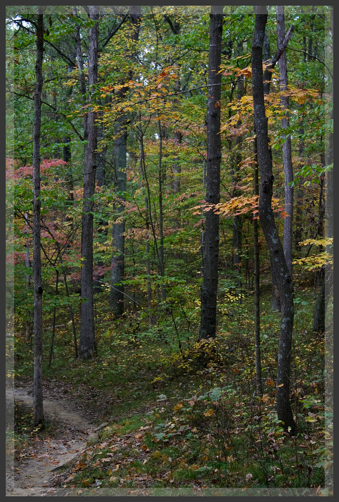 Nebo Ridge TrailHikingPhoto: b_nicodemus, CC BY-SA 2.0 (via Flickr)4.6 mi
- Hickory Ridge 20Hiking6 mi
- White CreekCanoeing8 mi
- Hickory Ridge CampgroundCamping8.3 mi
Source: Roamze catalog (indexable pages within 10 miles, PostGIS distance)
 Muscatatuck RiverCanoeing · ~52 min drivePhoto: U.S. Fish and Wildlife Service, Public domain (via Wikimedia Commons)
- Crooked Creek Boat RampBoat launch · ~17 min drive
- White CreekCanoeing · ~14 min drive
- Cutright High Water RampBoat launch · ~23 min drive
- East Fork White CreekCanoeing · ~19 min drive
- Cutright RampBoat launch · ~23 min drive
- Grassy ForkCanoeing · ~31 min drive
- Pinegrove RampBoat launch · ~23 min drive
- Pond CreekCanoeing · ~32 min drive
- Paynetown RampBoat launch · ~26 min drive
Best time to visit Little Salt Creek
Best months: April–October. Best months have typical highs of 55–85 °F, lows of 30 °F or warmer (32 °F where the station doesn't record snow), at most one snowy day and no more than 12 wet days.
Jan
37° / 22°
10 wet
Feb
42° / 24°
8 wet
Mar
52° / 32°
10 wet
Apr
65° / 42°
11 wet
May
74° / 53°
12 wet
Jun
82° / 61°
10 wet
Jul
85° / 64°
9 wet
Aug
84° / 62°
7 wet
Sep
78° / 54°
7 wet
Oct
67° / 42°
7 wet
Nov
53° / 33°
8 wet
Dec
42° / 26°
10 wet
Typical high / low (°F) and days with rain or snow, 1991–2020. Measured at Seymour 2 N, IN, 14.7 mi away at 570 ft. This station doesn't record snowfall. Source: NOAA NCEI U.S. Climate Normals 1991–2020.