Ohio River Levee Trail
- 0.8 mi
- round trip
- 17 ft
- climb
- 450 ft
- high point
- Out and back
- route
- Apr–May, Sep–Nov
- best months
The Ohio River Levee Trail is a short, easy hike in Indiana, part of the Louisville Loop on land managed jointly by Indiana and Kentucky. The trail is about 0.8 miles long, and the round trip adds up to roughly 1.6 miles with a total climb of about 17 feet. The route is flat, with the high point at about 450 feet and the low at about 443 feet. Spring and fall are the most comfortable times to go. Typical averages from a nearby weather station in Louisville show October highs around 70°F with lows near 50°F, and April is similar, while July highs reach about 89°F. The Louisville Loop is about 1.3 miles away. Twisted Bends Loop and Playground Loop are both within about 4 miles. Paddlers can find Pond Creek about 4.6 miles off.
- Louisville LoopHiking1.3 mi
 Twisted Bends LoopHikingPhoto: josgrove523, CC BY 2.0 (via Flickr)3.7 mi
 Playground LoopHikingPhoto: mdhill63, CC BY 2.0 (via Flickr)3.9 mi
- Fresh Air LoopHikingPhoto: mdhill63, CC BY 2.0 (via Flickr)4.1 mi
- Pond CreekCanoeing4.6 mi
- South Fork Buck CreekCanoeing6.3 mi
- Mosquito CreekCanoeing7.2 mi
- Knob CreekCanoeing7.8 mi
Source: Roamze catalog (indexable pages within 10 miles, PostGIS distance)
- Twisted Bends LoopHiking · ~6 min drivePhoto: josgrove523, CC BY 2.0 (via Flickr)
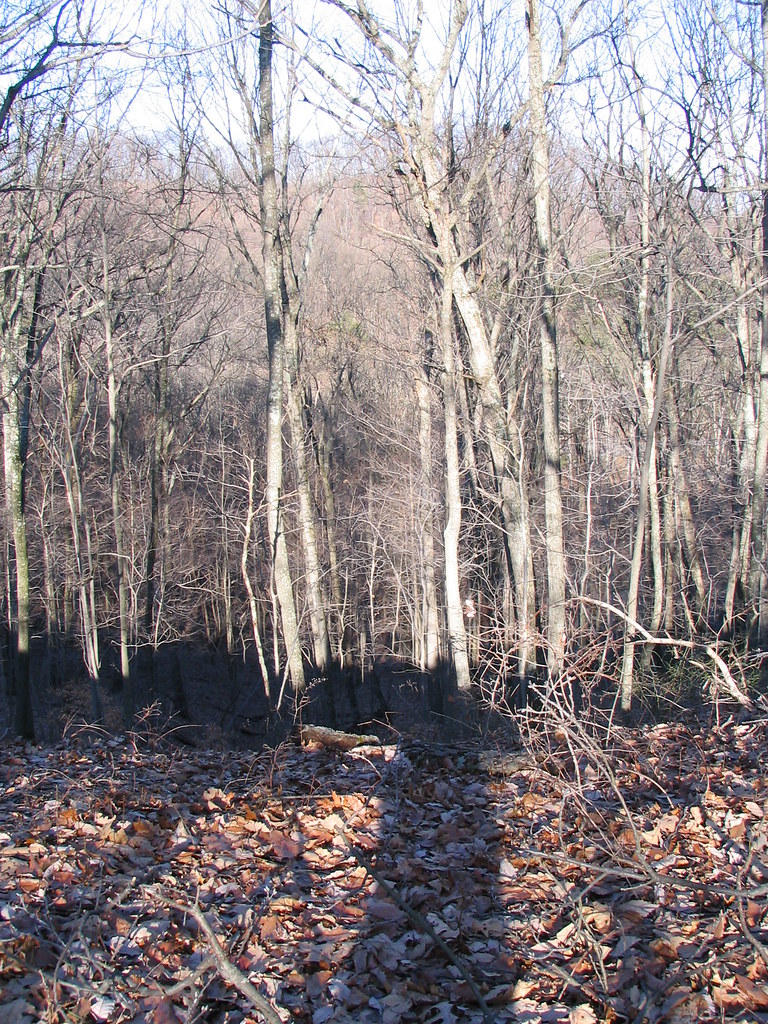 Siltstone TrailHiking · ~13 min drivePhoto: ConspiracyofHappiness, CC BY 2.0 (via Flickr)
- Mitchell Hill Lake TrailHiking · ~14 min drivePhoto: ConspiracyofHappiness, CC BY 2.0 (via Flickr)
- Playground LoopHiking · ~7 min drivePhoto: mdhill63, CC BY 2.0 (via Flickr)
- Adt - Indiana (South) - H - Seg 3Hiking · ~23 min drive
- Scott's Gap TrailHiking · ~10 min drive
- Fresh Air LoopHiking · ~7 min drivePhoto: mdhill63, CC BY 2.0 (via Flickr)
- Red TrailHiking · ~14 min drive
- Clinic LoopHiking · ~7 min drivePhoto: mdhill63, CC BY 2.0 (via Flickr)
- Coral Ridge TrailHiking · ~15 min drive
Best time to visit Ohio River Levee Trail
Best months: April–May and September–November. Best months have typical highs of 55–85 °F, lows of 30 °F or warmer (32 °F where the station doesn't record snow), at most one snowy day and no more than 12 wet days.
Jan
44° / 28°
11 wet · 4 snow
Feb
48° / 31°
10 wet · 4 snow
Mar
58° / 39°
12 wet · 2 snow
Apr
70° / 48°
12 wet
May
78° / 59°
12 wet
Jun
86° / 67°
11 wet
Jul
89° / 71°
10 wet
Aug
88° / 70°
8 wet
Sep
82° / 62°
8 wet
Oct
70° / 50°
8 wet
Nov
58° / 39°
10 wet · 1 snow
Dec
47° / 32°
12 wet · 2 snow
Typical high / low (°F) and days with rain or snow, 1991–2020. Measured at Louisville Intl Ap, KY, 9.4 mi away at 488 ft. Source: NOAA NCEI U.S. Climate Normals 1991–2020.
Map and trail data © OpenStreetMap contributors
