Blodgett Marsh Trail
 Photo: Joe K Gage, CC BY-SA 2.0 (via Flickr)
- 9.2 mi
- round trip
- 128 ft
- climb
- 551 ft
- high point
- Out and back
- route
- Apr–Oct
- best months
Is Blodgett Marsh Trail open right now?
Closure in the area
There's a closure order in Midewin National Tallgrass Prairie. It doesn't name Blodgett Marsh Trail, so check the source for the area it covers.
Interagency Passes
Agency closure covering Midewin National Tallgrass Prairie · USFS · Midewin National Tallgrass Prairie
Henslow Trail Bridge Closures
Agency alert covering Midewin National Tallgrass Prairie · USFS · Midewin National Tallgrass Prairie
Prairie Creek Bridge Closure
Agency alert covering Midewin National Tallgrass Prairie · USFS · Midewin National Tallgrass Prairie
As of · Source: USFS · Midewin National Tallgrass Prairie. Agencies don't list every closure — check before you go.
Blodgett Marsh Trail is an easy, out-and-back hike of about 9.2 miles on the Forest Service land of Midewin National Tallgrass Prairie in Illinois. The trail sits at roughly 550 feet, with a high point of 551 feet and a low of 523 feet, and the climb stays gentle, with the steepest stretch at about 0.16 miles from the start and a grade of about 2 percent. Late spring and early fall are the most comfortable times to go. Typical averages from a nearby weather station in Channahon show May highs around 72°F and September highs around 77°F, while July peaks near 85°F and winter highs hover around freezing. Prairie Creek Woods Trail starts just 0.1 mile away, and Route 53 Trail, Group 63 Trail and Henslow Trail are all within about 3.5 miles. The Illinois and Michigan Canal Paddle Route is about 7.8 miles off for those who want to pair a hike with time on the water.
Best time to go · Apr–Oct
Best time to visit Blodgett Marsh Trail
Best months: April–October. Best months have typical highs of 55–85 °F, lows of 30 °F or warmer (32 °F where the station doesn't record snow), at most one snowy day and no more than 12 wet days.
Jan
32° / 17°
11 wet · 4 snow
Feb
37° / 20°
10 wet · 3 snow
Mar
48° / 30°
11 wet · 1 snow
Apr
61° / 40°
11 wet
May
72° / 51°
11 wet
Jun
81° / 60°
10 wet
Jul
85° / 65°
9 wet
Aug
83° / 63°
8 wet
Sep
77° / 56°
8 wet
Oct
64° / 44°
9 wet
Nov
50° / 33°
10 wet · 1 snow
Dec
37° / 23°
11 wet · 3 snow
Typical high / low (°F) and days with rain or snow, 1991–2020. Measured at Channahon Dresden Isl Dam, IL, 6.7 mi away at 505 ft. Source: NOAA NCEI U.S. Climate Normals 1991–2020.
Keep exploring — more trails worth the drive
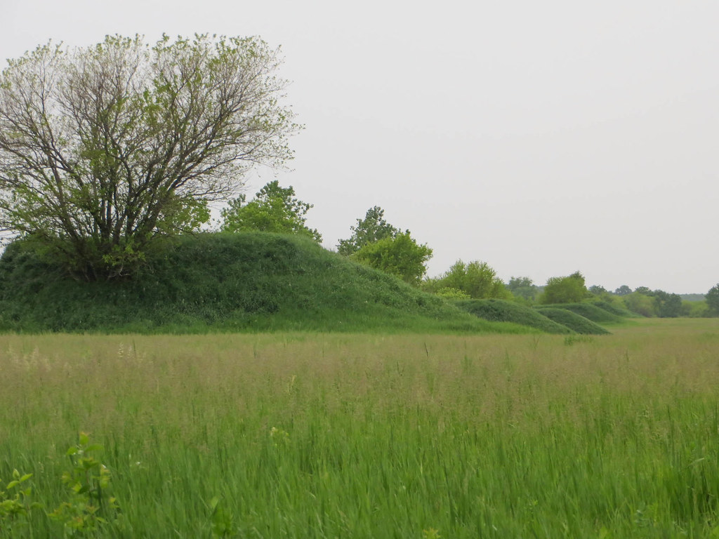 Photo: davidwilson1949, CC BY 2.0 (via Flickr)
Hedgeapple Trail
~10 min drive
2.94-mile out-and-back hike in Illinois with 20 ft gain and 48 ft loss.
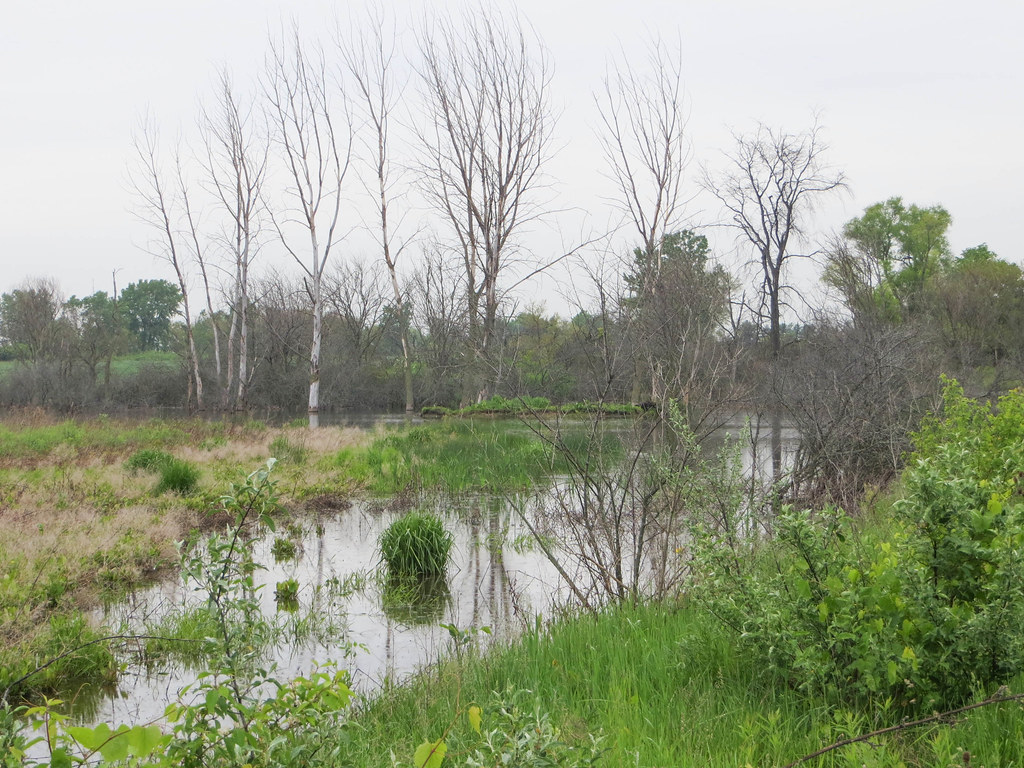 Photo: davidwilson1949, CC BY 2.0 (via Flickr)
Bailey Bridge Trail
~11 min drive
4.75-mile out-and-back trail in Illinois with 22 ft of elevation gain.
Photo: davidwilson1949, CC BY 2.0 (via Flickr)Twin Oaks Trail
~8 min drive
11.60-mile out-and-back hike in Illinois with 90 ft of elevation gain.
 Photo: Ken Lund from Reno, Nevada, USA, CC BY-SA 2.0 (via Wikimedia Commons)
Tan Trail
~46 min drive
0.53-mile point-to-point trail in Illinois with 51 ft elevation gain
 Photo: davidwilson1949, CC BY 2.0 (via Flickr)
Orange Unpaved Loop
~47 min drive
4-mile unpaved point-to-point trail through Illinois countryside.
HIKE
Henslow Trail
~6 min drive
10-mile out-and-back hike in Illinois with 78 ft gain.
Photo: davidwilson1949, CC BY 2.0 (via Flickr)Red South Single Track
~47 min drive
Compact point-to-point single track through Illinois woodland.
 Photo: Darek214, CC BY 2.0 (via Flickr)
Yellow Loop
~48 min drive
8.06-mile loop trail in Illinois with 766 ft elevation gain.
HIKE
Adt - Illinois - I - Seg 1
~19 min drive
A 39.55-mile point-to-point Illinois trail for experienced hikers.
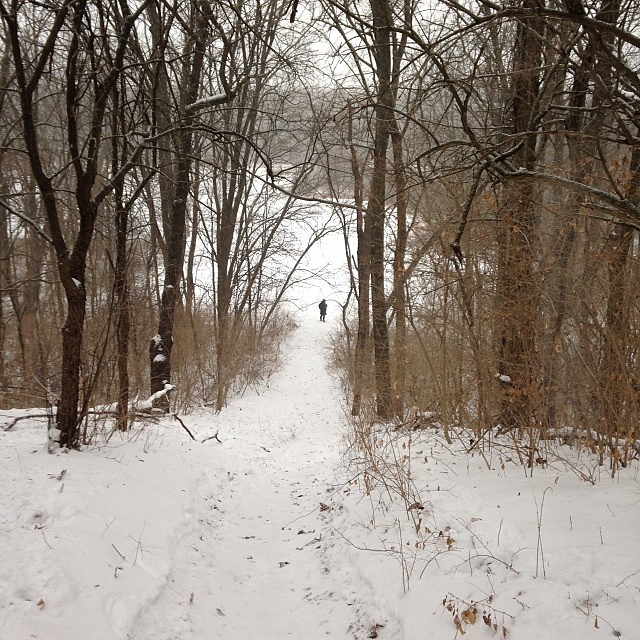 Photo: enn-here, CC BY 2.0 (via Flickr)
Black Trail
~47 min drive
Short point-to-point trail under 1 mile in Illinois.
