Boat/Canoe Launch
- Apr, Jun–Oct
- best months
Boat/Canoe Launch is a boat launch in Illinois, about 3.7 miles from the town of Rockdale. It serves as a put-in for paddlers heading out on the water. For comfortable weather, aim for late spring through early fall. Typical averages from a nearby weather station show May highs around 71°F and September highs around 76°F, with July the warmest month at about 84°F. The Illinois and Michigan Canal Paddle Route lies about 5.9 miles away, and the Adt - Illinois - I - Seg 1 hike is about 4.4 miles off. For more paddling, Aux Sable Creek is about 8.4 miles away.
- Adt - Illinois - I - Seg 1Hiking4.4 mi
- Illinois and Michigan Canal Paddle RouteCanoeing5.9 mi
- Group 63 Trail SpurHiking6.5 mi
- Route 53 TrailHiking6.6 mi
- Henslow TrailHiking6.6 mi
- Group 63 TrailHiking6.7 mi
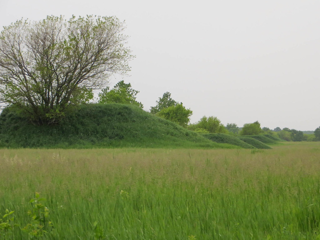 Hedgeapple TrailHikingPhoto: davidwilson1949, CC BY 2.0 (via Flickr)6.8 mi
- Aux Sable CreekCanoeing8.4 mi
Source: Roamze catalog (indexable pages within 10 miles, PostGIS distance)
- Fox RiverBoat launch · ~32 min drive
- Illinois and Michigan Canal Paddle RouteCanoeing · ~10 min drive
- Saganashkee Slough Boat LaunchBoat launch · ~36 min drive
- Aux Sable CreekCanoeing · ~14 min drive
- Shuh Shuh Gah Canoe LaunchBoat launch · ~39 min drive
- East Branch Horse CreekCanoeing · ~44 min drive
- Alsip Boat LaunchBoat launch · ~44 min drive
- Blackberry CreekCanoeing · ~44 min drive
- Geneva Fire Department Boat LaunchBoat launch · ~51 min drive
- African American Heritage Water TrailCanoeing · ~49 min drive
Best time to visit Boat/Canoe Launch
Best months: April and June–October. Best months have typical highs of 55–85 °F, lows of 30 °F or warmer (32 °F where the station doesn't record snow), at most one snowy day and no more than 12 wet days.
Jan
31° / 17°
11 wet
Feb
35° / 20°
9 wet
Mar
47° / 29°
10 wet
Apr
60° / 39°
12 wet
May
71° / 49°
13 wet
Jun
80° / 60°
10 wet
Jul
84° / 64°
9 wet
Aug
82° / 63°
9 wet
Sep
76° / 55°
8 wet
Oct
63° / 43°
9 wet
Nov
49° / 32°
10 wet
Dec
36° / 22°
11 wet
Typical high / low (°F) and days with rain or snow, 1991–2020. Measured at Joliet Brandon Rd Dam, IL, 4.4 mi away at 543 ft. This station doesn't record snowfall. Source: NOAA NCEI U.S. Climate Normals 1991–2020.
Map and trail data © OpenStreetMap contributors
