Mike Harris
Campground
Campground · 1.1 mi from the trail
No closures listed
The Forest Service lists no closures for Caribou-Targhee National Forest.
As of · Source: USFS · Caribou-Targhee National Forest. Agencies don't list every closure — check before you go.
Southern Valley Trails is a cross-country skiing route in Idaho's Caribou-Targhee National Forest, within the Teton Basin Ranger District. The Forest Service manages the land, and the trail is about a mile from the district's boundaries. The route is an out-and-back of about 1.9 miles, with a one-way climb of about 150 feet from a low point of 6,667 feet to a high of 6,827 feet. The steepest stretch, a 10% grade, comes at about 0.9 miles. For skiing, winter is the season. Typical averages from the nearby Driggs weather station run from highs around 33°F and lows near 9°F in January to highs in the low 40s by March. That station sits several hundred feet lower than the trail, so temperatures on the route run cooler. The Nemo and Grumpy's Loop hikes start within a third of a mile. Mike Harris Campground is about a mile away, and Pine Creek Campground is roughly 6 miles off.
Mike Harris
Campground
Flat Creek Overlook
Viewpoint
Places © OpenStreetMap contributors
More in JacksonNot on Roamze yet. Their page has how to reach them.
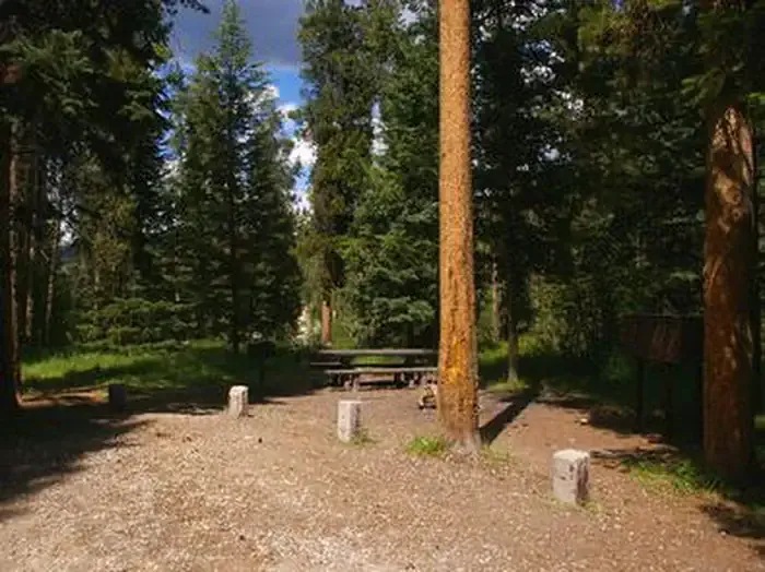 Mike HarrisCampingPhoto: Recreation.gov (RIDB) / public domain1.1 mi
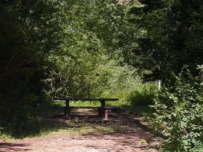 Trail CreekCampingPhoto: Recreation.gov (RIDB) / public domain2.9 mi
Source: Roamze catalog (indexable pages within 10 miles, PostGIS distance)
 Jackson Hole Mountain ResortDownhill skiing · ~21 min drivePhoto: Enricokamasa, Public domain (via Wikimedia Commons)
Also worth it near here
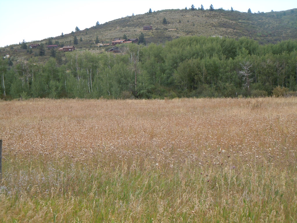 Mikesell CanyonHiking · ~3 min drivePhoto: Matt Lavin, CC BY-SA 2.0 (via Flickr)
 Moose CreekMountain biking · ~10 min drivePhoto: Matt Berger
https://www.inaturalist.org/people/sheriff_woody_pct, CC BY 4.0 (via Wikimedia Commons)
Best months: May–September. Best months have typical highs of 55–85 °F, lows of 30 °F or warmer (32 °F where the station doesn't record snow), at most one snowy day and no more than 12 wet days.
Jan
33° / 9°
Feb
36° / 12°
Mar
44° / 20°
Apr
54° / 28°
May
65° / 35°
Jun
73° / 41°
Jul
83° / 48°
Aug
82° / 46°
Sep
73° / 38°
Oct
58° / 29°
Nov
44° / 19°
Dec
33° / 11°
Typical high / low (°F) and days with rain or snow, 1991–2020. Measured at Driggs, ID, 11.8 mi away at 6,120 ft. The station sits about 700 ft lower than this place, so expect it a little cooler here. This station doesn't record snowfall. Source: NOAA NCEI U.S. Climate Normals 1991–2020.
Map and trail data © OpenStreetMap contributors
