Mike Harris
Campground
Campground · 0.1 mi from the trail
Caution at last check
Agency alerts are in effect for this area; weather is good · USFS, OpenWeather · checked 12 h ago
No closures listed
The Forest Service lists no closures for Caribou-Targhee National Forest.
As of · Source: USFS · Caribou-Targhee National Forest. Agencies don't list every closure — check before you go.
Yeti's Loop is a 2.5-mile moderate hike in Idaho's Caribou-Targhee National Forest, within the Teton Basin Ranger District. The trail rises about 280 feet from a low point of 6,546 feet to a high of 6,827 feet, and it is managed by the Forest Service. The route is natural-surface and open to both horses and bikes. It is not an accessible trail. Summer is the most comfortable time to go. Typical averages from a nearby weather station show July highs around 79°F with lows near 48°F, while winter brings highs in the 20s and regular snow days from December through February. The Mike Harris trailhead is the parking for this hike, and the loop is open year-round. The trip takes about an hour. Mike Harris Campground and the Southern Valley Trails sit about 0.1 mile away, and Mikesell Canyon is about 0.6 mile off. Trail Creek campground is about 2 miles away.
Mike Harris
Campground
Flat Creek Overlook
Viewpoint
Places © OpenStreetMap contributors
More in JacksonNot on Roamze yet. Their page has how to reach them.
Best months: June–September. Best months have typical highs of 55–85 °F, lows of 30 °F or warmer (32 °F where the station doesn't record snow), at most one snowy day and no more than 12 wet days.
Jan
29° / 12°
9 wet · 7 snow
Feb
32° / 13°
8 wet · 6 snow
Mar
40° / 21°
9 wet · 6 snow
Apr
48° / 27°
9 wet · 4 snow
May
60° / 35°
10 wet · 2 snow
Jun
69° / 42°
8 wet
Jul
79° / 48°
5 wet
Aug
78° / 47°
6 wet
Sep
68° / 40°
6 wet
Oct
53° / 30°
7 wet · 2 snow
Nov
38° / 20°
8 wet · 5 snow
Dec
28° / 12°
9 wet · 7 snow
Typical high / low (°F) and days with rain or snow, 1991–2020. Measured at Alta 1 Nnw, WY, 15 mi away at 6,440 ft. Source: NOAA NCEI U.S. Climate Normals 1991–2020.
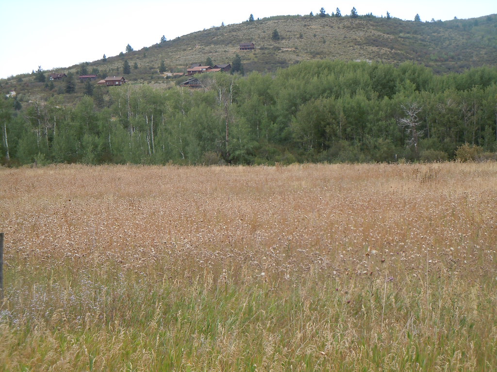 Photo: Matt Lavin, CC BY-SA 2.0 (via Flickr)
Mikesell Canyon
~1 min drive
5.74-mile out-and-back trail in Mikesell Canyon, Idaho with 1,800 ft elevation gain.
Photo: Matt Lavin, CC BY-SA 2.0 (via Flickr)Campground
~1 min drive
0.84-mile loop trail in Idaho with 61 ft elevation gain.
HIKE
Lady Slipper
~2 min drive
6.73-mile out-and-back trail in Idaho with 235 ft elevation gain.
HIKE
Nemo
~2 min drive
Nemo is a 3.91-mile out-and-back trail in Idaho with 56 feet of elevation gain.
HIKE
MIKESELL CANYON SPUR
~3 min drive
1.38-mile out-and-back trail in Idaho with 421 ft elevation gain and loss.
HIKE
Moose Creek
~3 min drive
15.43-mile out-and-back trail in Wyoming with 2,062 ft gain.
HIKE
Grumpy's Loop
~2 min drive
3.67-mile out-and-back trail in Idaho with 278 ft gain.
HIKE
Game Creek Trail
~4 min drive
1.36-mile out-and-back trail in Wyoming with 393 ft elevation gain
HIKE
Taylor Mountain
~3 min drive
13.39-mile out-and-back trail at Taylor Mountain in Wyoming with 2,287 ft of elevation gain.
HIKE
Happy Hour
~3 min drive
4.09-mile out-and-back trail in Wyoming with 126 ft gain.