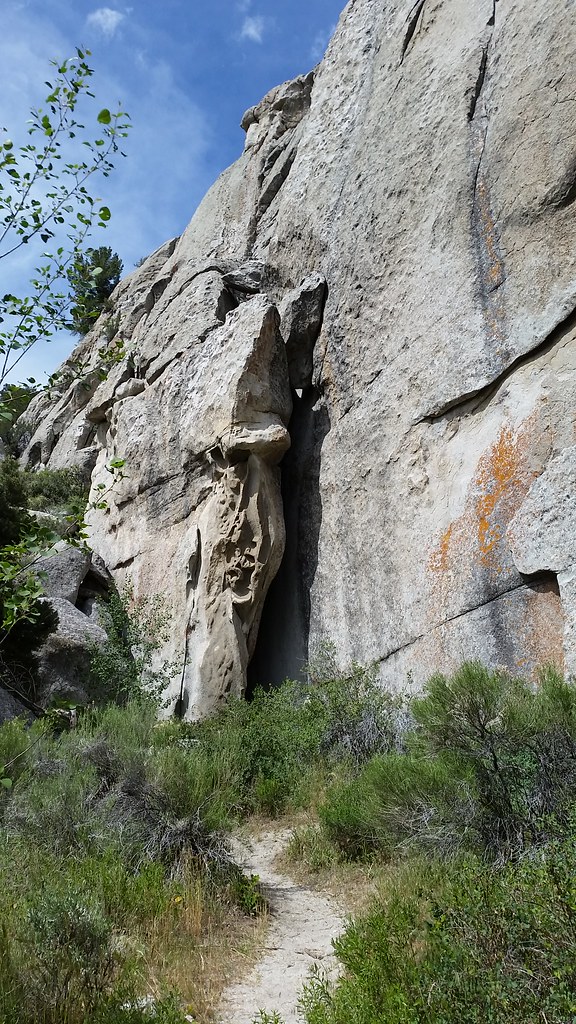
White Wall
White Wall in Idaho has 5 climbing routes across 4 grades, offering sport and trad options.
- 5 routes
- 5.9 – 5.11b
- Sport · Trad
Is White Wall open right now?
No closures listed
The National Park Service lists no closures for City of Rocks National Reserve.
As of · Source: NPS · City of Rocks National Reserve. Agencies don't list every closure — check before you go.
Best time to visit White Wall
Best months: April–June and August–October. Best months have typical highs of 55–85 °F, lows of 30 °F or warmer (32 °F where the station doesn't record snow), at most one snowy day and no more than 12 wet days.
Jan
35° / 16°
8 wet
Feb
39° / 19°
7 wet
Mar
48° / 27°
6 wet
Apr
55° / 33°
7 wet
May
65° / 41°
9 wet
Jun
75° / 50°
6 wet
Jul
86° / 59°
5 wet
Aug
85° / 57°
6 wet
Sep
74° / 48°
5 wet
Oct
60° / 35°
5 wet
Nov
45° / 24°
6 wet
Dec
35° / 17°
8 wet
Typical high / low (°F) and days with rain or snow, 1991–2020. Measured at Rosette, UT, 24.1 mi away at 5,685 ft. The station sits about 500 ft lower than this place, so expect it a little cooler here. This station doesn't record snowfall. Source: NOAA NCEI U.S. Climate Normals 1991–2020.
White Wall is a climbing area in City of Rocks National Reserve in Idaho, managed by the National Park Service. The reserve's official boundaries and the National Park Service's land records both place it here. The spot sits among a cluster of other climbing areas and trails, with Tahitian Rocks and Site 18 about 0.1 mile away and North Fork Circle Creek at a similar distance. The climbing is sport and trad, with five routes spread across grades from 5.9 to 5.11b. The most comfortable climbing months tend to be late spring and early fall, with typical averages from a nearby weather station showing highs around 65°F in May and 74°F in September, while July highs reach about 86°F. The station sits roughly 24 miles away, and temperatures on the reserve's higher ground may run a bit cooler. Several routes stand out. Excrement Adventure is a trad climb at 5.9. Touch of Gray and Wonderbread are both sport at 5.10a/b, and Pale Face is the hardest at 5.11b. For a change from the rocks, Independence Lakes Campground lies about 9 miles away.
Routes (5)
Facts about this crag
Keep exploring — more climbs worth the drive
 Photo: ncrossle, CC BY-SA 2.0 (via Flickr)
Tahitian Rocks
~0 min drive
Tahitian Rocks in Idaho offers 5 climbing routes across 4 grades in mixed and sport styles.
Photo: ncrossle, CC BY-SA 2.0 (via Flickr)Site 18
~0 min drive
Site 18 in Idaho has 5 climbing routes ranging across 4 difficulty grades.
Photo: ncrossle, CC BY-SA 2.0 (via Flickr)Great Wall
~1 min drive
Versatile Idaho crag with routes for multiple skill levels.
 Photo: cifraser1, CC BY 2.0 (via Flickr)
Geowatt
~1 min drive
Geowatt in Idaho has 5 climbing routes on rock.
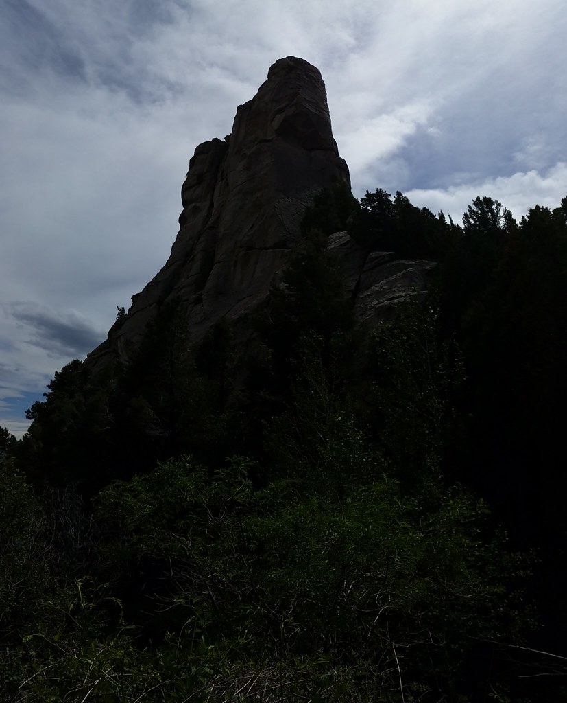 Photo: cifraser1, CC BY 2.0 (via Flickr)
Mushroom Rock
~1 min drive
Mushroom Rock is a climbing area in Idaho with 5 sport routes.
Photo: cifraser1, CC BY 2.0 (via Flickr)Lost Arrow Spire
~1 min drive
Lost Arrow Spire in Idaho has 5 climbing routes with 5 difficulty grades, offering sport and trad styles.
 Photo: cifraser1, CC BY 2.0 (via Flickr)
Building Blocks - East
~1 min drive
7 climbing routes in Idaho spanning 5 grades, sport and trad styles.
Photo: cifraser1, CC BY 2.0 (via Flickr)Building Blocks - West
~1 min drive
8 mixed climbing routes in Idaho spanning 6 difficulty grades.
 Photo: cifraser1, CC BY 2.0 (via Flickr)
Lady J
~1 min drive
Idaho climbing area with accessible routes for developing climbers.
 Photo: cifraser1, CC BY 2.0 (via Flickr)
The Boxtop
~1 min drive
9 climbing routes in Idaho spanning 5 difficulty grades, mixed, sport, and trad styles.