The dam buttress
Dam Buttress in Idaho has 7 climbing routes with sport and trad options.
 Photo: tinosa, Public domain (via Wikimedia Commons)
- 7 routes
- 5.7+ – 5.11a
- Trad · Sport
Is dam buttress, The open right now?
Alert in the area
The Forest Service lists 4 alerts for Sawtooth National Forest.
Paradise Prescribed Burn Restricted Access
Agency alert covering Sawtooth National Forest · USFS · Sawtooth National Forest
Grandjean Area, Road, and Trail Closure
Agency alert covering Sawtooth National Forest · Order 0414-04-165 · USFS · Sawtooth National Forest
Over-Snow Vehicle and Bicycle Prohibitions
Agency alert covering Sawtooth National Forest · Order 0414-00-028 · USFS · Sawtooth National Forest
Occupancy and Use - Food Storage
Agency alert covering Sawtooth National Forest · Order 0414-04-143 · USFS · Sawtooth National Forest
As of · Source: USFS · Sawtooth National Forest. Agencies don't list every closure — check before you go.
Best time to visit The dam buttress
Best months: July–August. Best months have typical highs of 55–85 °F, lows of 30 °F or warmer (32 °F where the station doesn't record snow), at most one snowy day and no more than 12 wet days.
Jan
26° / -3°
Feb
33° / -1°
Mar
43° / 9°
Apr
50° / 18°
May
60° / 26°
Jun
69° / 31°
Jul
80° / 34°
Aug
79° / 32°
Sep
70° / 25°
Oct
56° / 19°
Nov
38° / 10°
Dec
25° / -2°
Typical high / low (°F) and days with rain or snow, 1991–2020. Measured at Stanley, ID, 10.3 mi away at 6,249 ft. This station doesn't record snowfall. Source: NOAA NCEI U.S. Climate Normals 1991–2020.
The Dam Buttress is a climbing area in Idaho's Sawtooth National Recreation Area, part of the Sawtooth National Forest. The Forest Service manages the land, and the area sits within the recreation area's boundaries. Summer is the most comfortable time to visit. Typical averages from a nearby weather station in Stanley run to highs around 80°F with lows near 34°F in July, while winter highs stay in the mid-20s. The area has seven routes, six of which are trad and one is sport. The grades range from 5.7+ to 5.11a, with "Dam nation" at 5.10a/b and "Hydro electric" at 5.11a. The climbing is anchored by the nearby Towers at 202, about 0.1 mile away. Elk Creek Campground and Blind Creek Campground are both within a mile, and the Yankee Fork Crag lies about 1.3 miles off.
Routes (7)
Keep exploring — more climbs worth the drive
 Photo: Fredlyfish4 at English Wikipedia, CC BY-SA 3.0 (via Wikimedia Commons)
Roundabout Boulder
~20 min drive
Roundabout Boulder in Idaho has 9 bouldering routes across 8 grades.
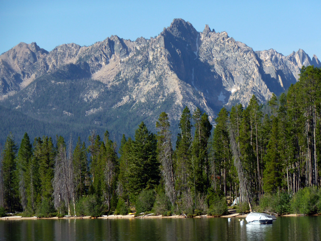 Photo: treegrow, CC BY 2.0 (via Flickr)
Redfish Lake Bouldering
~22 min drive
Redfish Lake Bouldering in Idaho has 2 bouldering routes with mixed protection.
Photo: tinosa, Public domain (via Wikimedia Commons)The towers at 202
~0 min drive
11-route climbing area in Idaho with mixed, sport, and trad styles.
Yankee Fork Crag
~2 min drive
Yankee Fork Crag in Idaho has 6 climbing routes with sport and trad options.
Central Idaho
~24 min drive
Central Idaho is an Idaho climbing crag with 17 routes across 12 grades.
The. Old sawmill slabs
~25 min drive
13 routes at The Old sawmill slabs in Idaho span 7 difficulty grades, offering sport and trad climbing.
The Elephant's Perch
~31 min drive
Elephant's Perch in Idaho has 18 routes with 15 difficulty grades.
The Sawtooth Range
~31 min drive
Sawtooth Range, The is a climbing area in Idaho with 15 routes.
Baron Spire aka Old Smoothie
~34 min drive
Baron Spire (Old Smoothie) in Idaho has 5 climbing routes with alpine no fixed protection.
Lost River Range
~1h 19m drive
Lost River Range in Idaho has 10 climbing routes with 9 difficulty grades.
