Upper Payette Lake Boat Ramp
Is Upper Payette Lake Boat Ramp open right now?
Alert in the area
The Forest Service lists 5 alerts for Payette National Forest.
Over Snow Vehicle Closure (Forestwide)
Agency alert covering Payette National Forest · Order 0412-638 · USFS · Payette National Forest
Over Snow Vehicle Closure (Brundage Mountain Resort Snowcat Routes)
Agency alert covering Payette National Forest · Order 0412-637 · USFS · Payette National Forest
Lost Valley Log Hauling
Agency alert covering Payette National Forest · USFS · Payette National Forest
Over Snow Vehicle Closure (Granite Mountain)
Agency alert covering Payette National Forest · Order 0412-635 · USFS · Payette National Forest
Gordon Titus Upper Elevation Parking Lot Winter Restrictions
Agency alert covering Payette National Forest · Order 0412-543 · USFS · Payette National Forest
As of · Source: USFS · Payette National Forest. Agencies don't list every closure — check before you go.
Upper Payette Lake Boat Ramp is a boat launch in the McCall Ranger District of Payette National Forest in Idaho, about 15 miles from the town of McCall. It is a simple put-in with vault toilets, and no fees are required to use the site. Summer is the most comfortable time to visit. Typical averages from a nearby weather station in McCall show July and August highs around 81°F with only about four wet days a month, while winter highs stay near freezing. The Upper Payette Lake Connector trail and Upper Payette Lake Campground both sit about 0.1 mile away, and the Twentymile Trail (#085) is about a mile off. Paddlers can also look to the North Fork Payette River, roughly 3.7 miles away.
- Launch type
- Boat ramp
- Fee
- No fee
- Restrooms
- Yes
- UPPER PAYETTE LAKE CONNECTORHiking0.1 mi
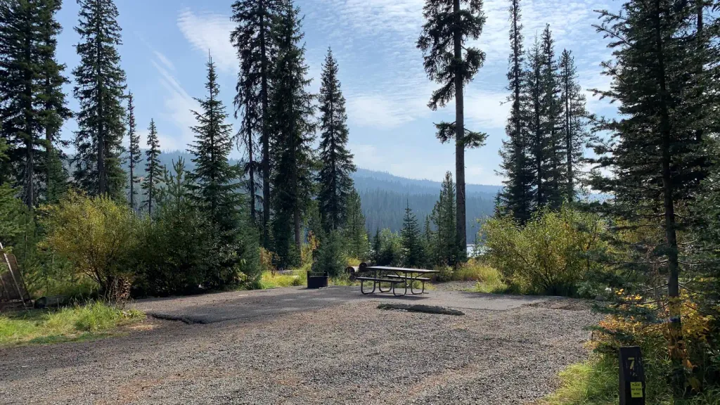 Upper Payette Lake CampgroundCampingPhoto: Recreation.gov (RIDB) / public domain0.1 mi
- Upper Payette Lake Group CampgroundCamping0.9 mi
- Twentymile Trail (#085)Hiking1.1 mi
- Cougar CreekHiking1.3 mi
 North Fork Payette RiverCanoeingPhoto: Mll1013, Public domain (via Wikimedia Commons)3.7 mi
- Hazard LakeCamping7.8 mi
- The Thinking SpotRock climbing8.4 mi
Source: Roamze catalog (indexable pages within 10 miles, PostGIS distance)
- North Fork Payette RiverCanoeing · ~6 min drivePhoto: Mll1013, Public domain (via Wikimedia Commons)
- Spring Bar Boat RampBoat launch · ~37 min drive
- Island Bar Recreation SiteFloat trip · ~40 min drive
 Little Salmon RiverCanoeing · ~25 min drivePhoto: NOAA, Public domain (via Wikimedia Commons)
- Island Bar Boat LaunchBoat launch · ~40 min drive
- Lucile Recreation SiteFloat trip · ~54 min drive
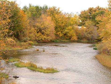 Weiser RiverCanoeing · ~40 min drivePhoto: Decumanus, CC BY-SA 3.0 (via Wikimedia Commons)
- Carey Creek Boat RampBoat launch · ~40 min drive
 South Fork Salmon RiverCanoeing · ~58 min drivePhoto: Zachary Collier, CC BY 2.0 (via Wikimedia Commons)
- Lost Valley Reservoir Boat RampBoat launch · ~41 min drive
