Van Dorn Canyon Trail
- 7.0 mi
- round trip
- 3,116 ft
- climb
- 8,821 ft
- high point
- Out and back
- route
Caution at last check
Agency alerts are in effect for this area; weather is marginal · USFS, OpenWeather · checked 17 h ago
Is Van Dorn Canyon Trail open right now?
Alert in the area
The Forest Service lists an alert for Salmon-Challis National Forest.
Stoddard Bridge Construction Closure
Agency alert covering Salmon-Challis National Forest · Order 0413-07-17 · USFS · Salmon-Challis National Forest
As of · Source: USFS · Salmon-Challis National Forest. Agencies don't list every closure — check before you go.
Van Dorn Canyon Trail is a 14-mile out-and-back hike in Idaho's Salmon-Challis National Forest, within the Lost River Ranger District. The trail is managed by the Forest Service and rated hard, with a total elevation gain of 3,116 feet over the round trip. The route starts at about 6,478 feet and climbs to a high point of 8,821 feet, with the steepest stretch at about 5.3 miles in, where the grade reaches 32 percent. The climb is front-loaded, so the hardest part comes early. Plan for about six hours on the trail, and expect the most significant ascent and descent in the first half of the route. Nearby, North Fork Deer Creek and Mike's Trail are both within about a mile and a half. Wet Creek, a canoeing spot, is roughly 6 miles away, and Loristica Group Campground offers camping about 7 miles out.
- NORTH FORK DEER CREEKHiking1 mi
- MIKES TRAILHiking1.5 mi
- Wet CreekCanoeing5.8 mi
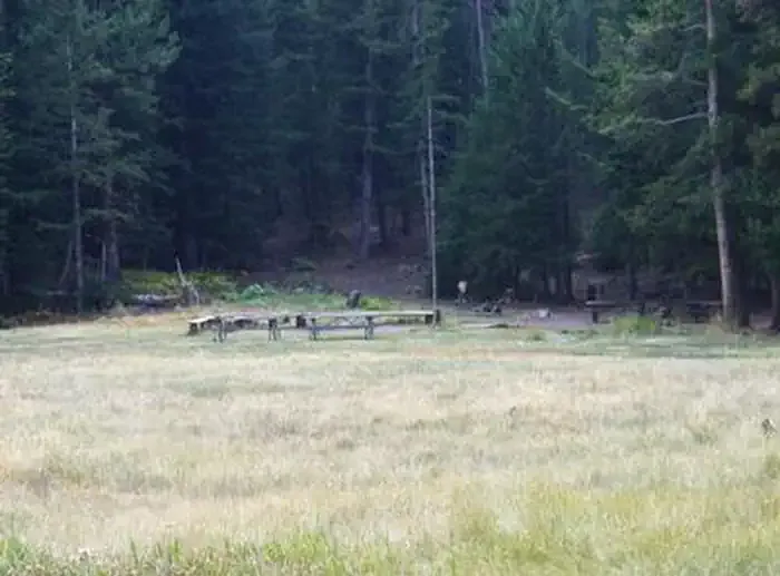 Loristica Group CampgroundCampingPhoto: Recreation.gov (RIDB) / public domain7.4 mi
- Pass Creek CanyonRock climbing8.2 mi
- Pass Creek Narrows Camping Area & Picnic SiteCamping8.4 mi
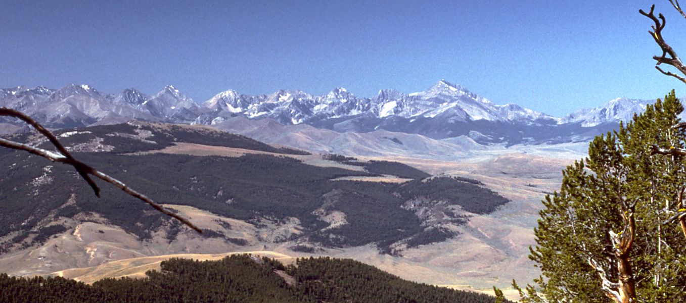 Little Lost RiverCanoeingPhoto: G. Thomas at English Wikipedia, Public domain (via Wikimedia Commons)8.5 mi
- Lower TierRock climbing9.2 mi
Source: Roamze catalog (indexable pages within 10 miles, PostGIS distance)
- NORTH FORK DEER CREEKHiking · ~2 min drive
- MIKES TRAILHiking · ~3 min drive
- SANDS CANYON TRAILHiking · ~11 min drive
- NORTH CREEK TRAILHiking · ~26 min drive
- Bear Creek LakeHiking · ~16 min drive
- MUD LAKE CANYONHiking · ~10 min drive
- BEAR-WET CREEK TRAILHiking · ~14 min drive
- BLACKTAIL/MUD LAKEHiking · ~12 min drive
- CEDAR RUN TRAILHiking · ~19 min drive
- Mud Lake Canyon TrailHiking · ~11 min drive
Also worth it near here

Map and trail data © OpenStreetMap contributors
