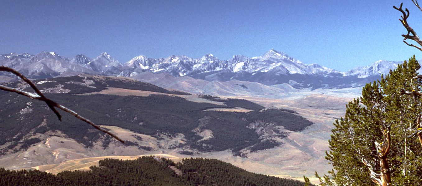
North Fork Deer Creek
- 0.7 mi
- round trip
- 337 ft
- climb
- 6,852 ft
- high point
- Out and back
- route
- May–Sep
- best months
Is NORTH FORK DEER CREEK open right now?
Alert in the area
The Forest Service lists an alert for Salmon-Challis National Forest.
Stoddard Bridge Construction Closure
Agency alert covering Salmon-Challis National Forest · Order 0413-07-17 · USFS · Salmon-Challis National Forest
As of · Source: USFS · Salmon-Challis National Forest. Agencies don't list every closure — check before you go.
North Fork Deer Creek is an easy out-and-back hike in Idaho's Salmon-Challis National Forest, within the Lost River Ranger District. The Forest Service manages the land, and the trail starts at about 6,520 feet, rising to a high point of 6,852 feet with a total elevation gain of 337 feet over 1.4 miles. The climb is front-loaded, and the steepest stretch comes about half a mile in, with a grade of about 16 percent. Summer is the most comfortable time to go. A nearby weather station at Mackay, about 16 miles away and roughly 1,000 feet lower, records typical July highs around 83°F with lows near 50°F. Temperatures on this trail run cooler, and winter is cold, with typical January highs near 30°F. The hike takes about half an hour. Van Dorn Canyon Trail lies about a mile away, and Mikes Trail is about 2.4 miles off. For paddling, Wet Creek is about 5 miles away, and for camping, Loristica Group Campground is about 7 miles away.
- Van Dorn Canyon TrailHiking1 mi
- MIKES TRAILHiking2.4 mi
- Wet CreekCanoeing4.9 mi
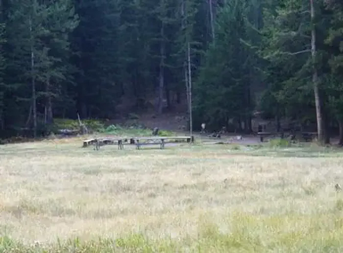 Loristica Group CampgroundCampingPhoto: Recreation.gov (RIDB) / public domain6.8 mi
- Pass Creek CanyonRock climbing8.2 mi
- Pass Creek Narrows Camping Area & Picnic SiteCamping8.4 mi
- Lower TierRock climbing8.8 mi
- Pass CreekCanoeing9.4 mi
Source: Roamze catalog (indexable pages within 10 miles, PostGIS distance)
- MIKES TRAILHiking · ~4 min drive
- SANDS CANYON TRAILHiking · ~13 min drive
- Bear Creek LakeHiking · ~15 min drive
- NORTH CREEK TRAILHiking · ~27 min drive
- MUD LAKE CANYONHiking · ~10 min drive
- BEAR-WET CREEK TRAILHiking · ~13 min drive
- CEDAR RUN TRAILHiking · ~18 min drive
- BLACKTAIL/MUD LAKEHiking · ~12 min drive
- Mud Lake Canyon TrailHiking · ~11 min drive
- Long Lost-Wet CreekHiking · ~13 min drive
Also worth it near here
Best time to visit NORTH FORK DEER CREEK
Best months: May–September. Best months have typical highs of 55–85 °F, lows of 30 °F or warmer (32 °F where the station doesn't record snow), at most one snowy day and no more than 12 wet days.
Jan
30° / 8°
6 wet
Feb
34° / 12°
5 wet
Mar
44° / 22°
6 wet
Apr
54° / 29°
6 wet
May
65° / 37°
8 wet
Jun
73° / 43°
7 wet
Jul
83° / 50°
5 wet
Aug
82° / 48°
5 wet
Sep
72° / 40°
5 wet
Oct
58° / 31°
5 wet
Nov
41° / 19°
6 wet
Dec
29° / 10°
7 wet
Typical high / low (°F) and days with rain or snow, 1991–2020. Measured at Mackay Lost Rvr Rs, ID, 16.5 mi away at 5,897 ft. The station sits about 1,000 ft lower than this place, so expect it a little cooler here. This station doesn't record snowfall. Source: NOAA NCEI U.S. Climate Normals 1991–2020.