Trail Creek
- 8.0 mi
- round trip
- 3,234 ft
- climb
- 7,916 ft
- high point
- Out and back
- route
Is Trail Creek open right now?
Alert in the area
The Forest Service lists 5 alerts for Payette National Forest.
Over Snow Vehicle Closure (Forestwide)
Agency alert covering Payette National Forest · Order 0412-638 · USFS · Payette National Forest
Over Snow Vehicle Closure (Brundage Mountain Resort Snowcat Routes)
Agency alert covering Payette National Forest · Order 0412-637 · USFS · Payette National Forest
Lost Valley Log Hauling
Agency alert covering Payette National Forest · USFS · Payette National Forest
Over Snow Vehicle Closure (Granite Mountain)
Agency alert covering Payette National Forest · Order 0412-635 · USFS · Payette National Forest
Gordon Titus Upper Elevation Parking Lot Winter Restrictions
Agency alert covering Payette National Forest · Order 0412-543 · USFS · Payette National Forest
As of · Source: USFS · Payette National Forest. Agencies don't list every closure — check before you go.
Trail Creek is an out-and-back hike in Idaho's Payette National Forest, within the Council Ranger District. The route is about 8 miles long, with a one-way elevation gain of 3,234 feet, and it rises from a low point of about 4,631 feet to a high of about 7,916 feet. The Forest Service manages the land, and the trail is rated expert. The trail is natural-surfaced and allows both horses and bikes. It is open year-round, so you can plan a trip for any season. The climb is a significant one, and the route is best suited for experienced hikers. The high point of about 7,900 feet makes it a destination for those looking for a serious day on foot or horseback. Several other outings sit close by. Deep Creek, a canoeing spot, is about a mile away, and the Sheep Rock and Haley Ridge hikes are each about 1.2 miles off. For an overnight stay, Black Lake Campground is about 4.6 miles away.
Local outfitters
- Oregon Backcountry Outfitting30 mi away
- Cornucopia Lodge & Packstation32 mi away
Not on Roamze yet. Their page has how to reach them.
- Deep CreekCanoeing1 mi
- Sheep RockHiking1.2 mi
- HALEY RIDGEHiking1.2 mi
- Copper CreekHiking1.2 mi
- Eagle BarCamping2.8 mi
- Black Lake CampgroundCamping4.6 mi
- Granite CreekCanoeing5.1 mi
 Hells CanyonRock climbingPhoto: lamblukas, CC BY 2.0 (via Flickr)6.3 mi
Source: Roamze catalog (indexable pages within 10 miles, PostGIS distance)
 Haley Ridge TrailHiking · ~4 min drivePhoto: U.S. Forest Service- Pacific Northwest Region, Public domain (via Wikimedia Commons)
- Deep CreekHiking · ~5 min drivePhoto: U.S. Forest Service- Pacific Northwest Region, Public domain (via Wikimedia Commons)
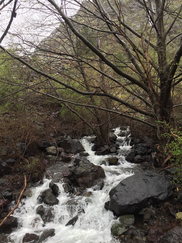 Stud Creek TrailHiking · ~7 min drivePhoto: Forest Service Pacific Northwest Region, Public Domain Mark (via Flickr)
 Hells Canyon Reservoir ViewptHiking · ~13 min drivePhoto: WaterArchives.org from Sacramento, California, USA, CC BY-SA 2.0 (via Wikimedia Commons)
 32 Point Creek TrailHiking · ~8 min drivePhoto: U.S. Forest Service- Pacific Northwest Region, Public domain (via Wikimedia Commons)
 Snake River National Recreation TrailHiking · ~8 min drivePhoto: U.S. Forest Service- Pacific Northwest Region, Public domain (via Wikimedia Commons)
- Buck Creek TrailHiking · ~9 min drivePhoto: U.S. Forest Service- Pacific Northwest Region, Public domain (via Wikimedia Commons)
- Sheep RockHiking · ~2 min drive
- Copper CreekHiking · ~2 min drive
- Eckels CreekHiking · ~8 min drivePhoto: WaterArchives.org from Sacramento, California, USA, CC BY-SA 2.0 (via Wikimedia Commons)
Also worth it near here
