Loading…

Free — you'll pick up right here.
Watch this trail
Sign up to watch it — saving subscribes you to gate, closure and report changes.
Idaho
3.5 mi
Distance
1,203 ft
Gain
We won't guess. Here is exactly what we do and don't know.
What we do know
Inside Salmon-Challis National Forest
2 managing-area boundaries mapped — agency alerts for them feed this page automatically.
Boundary data
What's missing
No access route mapped
We don't yet know which road reaches this trailhead, so we can't tell you if it's gated.
Nobody's filed a report here yet — be the first.
Why you'll love it
Slide Creek
AI-suggested draft · review before you go
No permit or access details on file for this trail — check with the local land manager before you go.
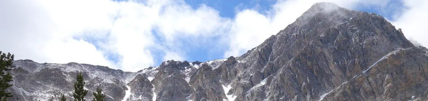
Slide Creek is a moderate 3.55-mile trail featuring 1,203 feet of elevation gain through the scenic Idaho backcountry. This route follows Slide Creek drainage, offering hikers a steady climb through mixed forest terrain with creek-side sections that provide water access and scenic views. The trail is well-suited for hikers seeking a half-day adventure with manageable but consistent elevation gain.
Smithie Fork
~4 min drive
Moderate 6.68-mile fork drainage hike with 973 ft elevation gain.
South Fork Big Creek-Iron Cr.
~6 min drive
Easy creek-side walk along South Fork Big Creek toward Iron Creek.
Deer Creek
~10 min drive
Moderate creek-side hike through forested Idaho backcountry.
Borah Peak
~49 min drive
Standard route to Borah Peak (12,662 ft) from Borah Peak.
Flatiron Mountain Loop
~8 min drive
Scenic 9-mile loop with 1,071 ft gain and ridge views.
Lake Creek
~7 min drive
Easy 3.2-mile forest walk along Lake Creek with minimal elevation gain.
Nez Perce Lake
~12 min drive
Moderate 3.75-mile alpine lake hike with 1,506 ft elevation gain.
South Fork Big Creek-Iron Cr.
~11 min drive
Remote 19-mile backcountry route through South Fork Big Creek and Iron Creek drainages.
Jackson Creek
~8 min drive
Scenic 2.6-mile creek-side hike with 941 ft elevation gain near Jackson Creek, Idaho.
Meadow Lake Wt
~13 min drive
Moderate 5.6-mile hike to alpine meadow lake with 1,039 ft elevation gain.