Skyrocket Trail Ski
- 2.4 mi
- round trip
- 695 ft
- climb
- 6,673 ft
- high point
- Out and back
- route
- Jul–Aug
- best months
Is SKYROCKET TRAIL SKI open right now?
Alert in the area
The Forest Service lists 4 alerts for Sawtooth National Forest.
Paradise Prescribed Burn Restricted Access
Agency alert covering Sawtooth National Forest · USFS · Sawtooth National Forest
Grandjean Area, Road, and Trail Closure
Agency alert covering Sawtooth National Forest · Order 0414-04-165 · USFS · Sawtooth National Forest
Over-Snow Vehicle and Bicycle Prohibitions
Agency alert covering Sawtooth National Forest · Order 0414-00-028 · USFS · Sawtooth National Forest
Occupancy and Use - Food Storage
Agency alert covering Sawtooth National Forest · Order 0414-04-143 · USFS · Sawtooth National Forest
As of · Source: USFS · Sawtooth National Forest. Agencies don't list every closure — check before you go.
Skyrocket Trail Ski is an easy out-and-back hike in the Sawtooth National Recreation Area, part of the Sawtooth National Forest in Idaho, managed by the Forest Service. The trail is about 4.8 miles long, with a total climb of 695 feet and a high point of 6,673 feet. The route is steady, and the steepest stretch comes at about 2.2 miles, with a grade of 6 percent. Summer is the most comfortable time to go. Typical averages from the nearby Stanley weather station, which sits a few hundred feet lower, show July highs around 80°F with lows near 34°F, while winter highs stay in the mid-20s and lows drop to about -3°F in January. The trail starts close to several other hikes, including Sego Loop Ski, Camas Trail Ski and Larkspur Trail Ski, all within a third of a mile. Elk Creek Campground is about a mile away.
Local outfitters
- Camp Perkins26 mi away
- The Sawmill Station29 mi away
Not on Roamze yet. Their page has how to reach them.
 SEGO LOOP SKIHikingPhoto: treegrow, CC BY 2.0 (via Flickr)0.1 mi
- CAMAS TRAIL SKIHiking0.2 mi
- LARKSPUR TRAIL SKIHiking0.3 mi
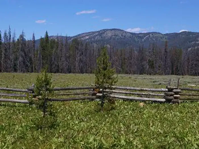 Elk Creek Campground (sawtooth NF)CampingPhoto: Recreation.gov (RIDB) / public domain1.1 mi
- Sheep Trail CampgroundCamping2 mi
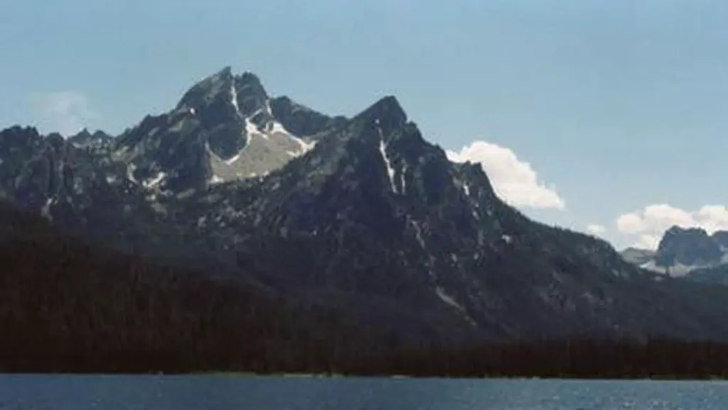 Stanley Lake CampgroundCampingPhoto: Recreation.gov (RIDB) / public domain2 mi
- Valley CreekCanoeing2.6 mi
- Salmon RiverRiver fishing7.3 mi
Source: Roamze catalog (indexable pages within 10 miles, PostGIS distance)
- SEGO LOOP SKIHiking · Next doorPhoto: treegrow, CC BY 2.0 (via Flickr)
 ELK MOUNTAIN CUTOFFHiking · ~3 min drivePhoto: Argyleist from Sugarhood, Utah, USA, CC BY 2.0 (via Wikimedia Commons)
 ELK MOUNTAINHiking · ~4 min drivePhoto: Fredlyfish4 at English Wikipedia, Public domain (via Wikimedia Commons)
 LUPINE LOOP SKIHiking · ~2 min drivePhoto: BY-YOUR-⌘ from Spain, CC BY 2.0 (via Wikimedia Commons)
- Alpine Way TrailHiking · ~6 min drivePhoto: Fredlyfish4 at English Wikipedia, Public domain (via Wikimedia Commons)
 ELK MOUNTAIN LOOKOUTHiking · ~4 min drivePhoto: Stephen Hanafin from Twin Falls, ID, United States, CC BY-SA 2.0 (via Wikimedia Commons)
- Iron Creek-Stanley Lake TrailHiking · ~4 min drivePhoto: Fredlyfish4 at English Wikipedia, Public domain (via Wikimedia Commons)
- Bench Creek-Stanley Creek TrailHiking · ~8 min drive
- STANLEY LAKEHiking · ~5 min drivePhoto: BY-YOUR-⌘ from Spain, CC BY 2.0 (via Wikimedia Commons)
 Goat Lake TrailHiking · ~12 min drivePhoto: jfdervin, CC BY-SA 2.0 (via Flickr)
Also worth it near here
Best time to visit SKYROCKET TRAIL SKI
Best months: July–August. Best months have typical highs of 55–85 °F, lows of 30 °F or warmer (32 °F where the station doesn't record snow), at most one snowy day and no more than 12 wet days.
Jan
26° / -3°
Feb
33° / -1°
Mar
43° / 9°
Apr
50° / 18°
May
60° / 26°
Jun
69° / 31°
Jul
80° / 34°
Aug
79° / 32°
Sep
70° / 25°
Oct
56° / 19°
Nov
38° / 10°
Dec
25° / -2°
Typical high / low (°F) and days with rain or snow, 1991–2020. Measured at Stanley, ID, 6.9 mi away at 6,249 ft. This station doesn't record snowfall. Source: NOAA NCEI U.S. Climate Normals 1991–2020.
