Scotch Trail
- 4.0 mi
- round trip
- 692 ft
- climb
- 4,888 ft
- high point
- Out and back
- route
- May–Jun, Aug–Sep
- best months
Scotch Trail is a moderate out-and-back hike in Idaho's Jarbidge Field Office, managed by the Bureau of Land Management. The trail is about 8 miles long, with a total climb of roughly 700 feet, and it takes about three hours to complete. The trail starts at an elevation of about 4,788 feet and reaches a high point of about 4,888 feet, with the steepest stretch around mile 3.6. The middle of the route is the most changeable part of the climb, and the grade there can reach about 13 percent. Summer is the most comfortable time to go. Typical averages from a nearby weather station at Murphy (Desert) Hot Springs show July highs around 86°F with lows near 46°F, while winter highs stay in the low 40s. Malat Trail is about 4.6 miles away, and Clover Creek, a canoeing spot, is about 6.1 miles away.
Source: Roamze catalog (indexable pages within 10 miles, PostGIS distance)
- Hagerman Fossil Beds, the Oregon Trail OverlookHiking · ~55 min drive
 Emigrant TrailHiking · ~56 min drivePhoto: waterarchives, CC BY-SA 2.0 (via Flickr)
 JennyHiking · ~57 min drivePhoto: Matt Lavin, CC BY-SA 2.0 (via Flickr)
 River TrailHiking · ~58 min drivePhoto: Bold Frontiers, CC BY 2.0 (via Flickr)
- Jenny CreekHiking · ~59 min drivePhoto: Matt Lavin, CC BY-SA 2.0 (via Flickr)
- Hagerman Fossil Beds National Monument, the Oregon TrailHiking · ~56 min drive
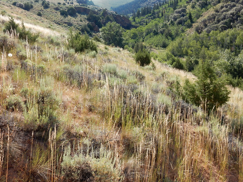 Jenny CreekHiking · ~58 min drivePhoto: Matt Lavin, CC BY-SA 2.0 (via Flickr)
 East Fork Jarbidge RiverHiking · ~58 min drivePhoto: Matt Lavin, CC BY-SA 2.0 (via Flickr)
- Malat TrailHiking · ~8 min drive
 Slide CreekHiking · ~60 min drivePhoto: Matt Lavin, CC BY-SA 2.0 (via Flickr)
Best time to visit Scotch Trail
Best months: May–June and August–September. Best months have typical highs of 55–85 °F, lows of 30 °F or warmer (32 °F where the station doesn't record snow), at most one snowy day and no more than 12 wet days.
Jan
41° / 18°
8 wet
Feb
43° / 19°
8 wet
Mar
50° / 24°
10 wet
Apr
55° / 28°
11 wet
May
65° / 35°
11 wet
Jun
75° / 40°
7 wet
Jul
86° / 46°
5 wet
Aug
85° / 45°
5 wet
Sep
77° / 37°
5 wet
Oct
62° / 29°
7 wet
Nov
48° / 22°
8 wet
Dec
40° / 16°
8 wet
Typical high / low (°F) and days with rain or snow, 1991–2020. Measured at Murphy (Desert) Hot Springs, ID, 23.7 mi away at 5,152 ft. This station doesn't record snowfall. Source: NOAA NCEI U.S. Climate Normals 1991–2020.

Map and trail data © OpenStreetMap contributors
