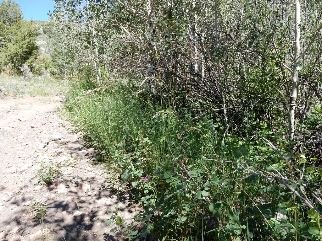
Jarbidge River
 Photo: Famartin, CC BY-SA 3.0 (via Wikimedia Commons)
- 46.9 mi
- distance
- 7,526 ft
- high point
Clear today
Weather is good · usgs_nwis, OpenWeather · checked just now
The Jarbidge River is a 47-mile paddling stretch in Idaho, running through the Bruneau-Jarbidge Rivers Wilderness near Rogerson. It flows year-round, with an average flow of about 171 cubic feet per second and a gradient of about 79.6 feet per mile, according to USGS models. Summer is the most comfortable time to paddle. A nearby weather station records typical average highs around 82°F in July and 81°F in August, with only about three wet days a month in July and August. That station sits about 1,500 feet lower than the river, so temperatures on the river run cooler. The Forks Campground, Juniper Grove Campground and Big Cottonwood Campground all lie within about six miles of the river. Buck Creek, a paddling spot in Nevada, is about 9 miles away.
- The Forks CampgroundCamping4.8 mi
- Juniper Grove CampgroundCamping5.3 mi
- Big Cottonwood CampgroundCamping6.2 mi
- Buck CreekCanoeing9.2 mi
Source: Roamze catalog (indexable pages within 10 miles, PostGIS distance)
 Bruneau RiverCanoeing · ~25 min drivePhoto: BLM, Public domain (via Wikimedia Commons)
- Jarbidge River Launch SiteBoat launch · ~8 min drive
 Sheep CreekCanoeing · ~34 min drivePhoto: Bureau of Land Management, CC BY 2.0 (via Wikimedia Commons)
- Cedar Creek ReservoirBoat launch · ~53 min drive
 Owyhee RiverCanoeing · ~59 min drivePhoto: U.S. Bureau of Land Management, Oregon, Public domain (via Wikimedia Commons)
- Upper Salmon Falls Creek Boat LaunchBoat launch · ~1h 6m drive
 Salmon Falls CreekCanoeing · ~1h drivePhoto: Bureau of Land Management, Public domain (via Wikimedia Commons)
- Salmon Falls Creek Boat LaunchBoat launch · ~1h 7m drive
- Buck CreekCanoeing · ~16 min drive
- Clover CreekCanoeing · ~40 min drive