Porphry Creek
- 11.3 mi
- round trip
- 5,649 ft
- climb
- 8,282 ft
- high point
- Out and back
- route
Is Porphry Creek open right now?
Alert in the area
The Forest Service lists 5 alerts for Payette National Forest.
Over Snow Vehicle Closure
Agency alert covering Payette National Forest · Order 0412-638 · USFS · Payette National Forest
Brundage Mountain Resort Snowcat Route Closure
Agency alert covering Payette National Forest · Order 0412-637 · USFS · Payette National Forest
Lost Valley Log Hauling
Agency alert covering Payette National Forest · USFS · Payette National Forest
Granite Mountain Over Snow Vehicle Closure
Agency alert covering Payette National Forest · Order 0412-635 · USFS · Payette National Forest
Gordon Titus Upper Elevation Parking Lot Winter Restrictions
Agency alert covering Payette National Forest · Order 0412-543 · USFS · Payette National Forest
As of · Source: USFS · Payette National Forest. Agencies don't list every closure — check before you go.
Porphry Creek is a hard hike in Idaho's Frank Church-River of No Return Wilderness, within the McCall Ranger District of the Payette National Forest. The trail is an out-and-back that climbs from about 2,570 feet to 8,282 feet, a total gain of 5,649 feet over 11.3 miles. The Forest Service manages the land, and the route is natural-surfaced and open year-round. Horses are allowed, but bikes are not. That makes it a ride for pack animals rather than mountain bikes. The climb is steep, and the high point sits well above the low point. The route is long and the gain is high, so plan on a full day. The nearest trail is S, about half a mile away, and Smith Creek on Pollock lies about 3.5 miles off. For camping, Shiefer and Mackay Bar are both within about 9 miles.
Local outfitters
- Black Bear RV Park40 mi away
Not on Roamze yet. Their page has how to reach them.
Keep exploring — more trails worth the drive
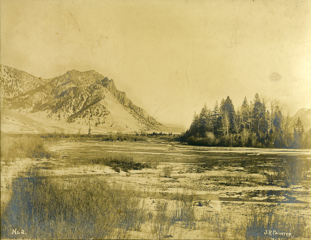 Photo: waterarchives, CC BY-SA 2.0 (via Flickr)
Salmon River Trail East
~17 min drive
20.34-mile out-and-back trail in Idaho with 4,970 ft elevation gain/loss.
HIKE
S
~1 min drive
72.53-mile out-and-back trail in Idaho with 3,484 ft elevation gain.
HIKE
Chinese Cemetery
~18 min drive
0.38-mile out-and-back trail at Chinese Cemetery in Idaho with 79 ft of elevation gain.
HIKE
Fishlake
~19 min drive
3.70-mile out-and-back trail in Idaho with 710 ft elevation gain.
Photo: waterarchives, CC BY-SA 2.0 (via Flickr)Painter Trail #213
~18 min drive
7.9-mile out-and-back trail in Idaho with 5,072 ft gain and 5,887 ft max elevation.
HIKE
Smith Creek on Pollock
~6 min drive
6.97-mile out-and-back trail in Idaho with 3,030 ft elevation gain.
HIKE
Warren Creek
~19 min drive
0.60-mile out-and-back trail at Warren Creek in Idaho with 276 ft of elevation gain.
HIKE
NORTH FK LOGAN CREEK
~20 min drive
1.96-mile out-and-back trail in Idaho with 1,409 ft gain/loss
HIKE
SOUTH FORK CHAMBERLAIN CREEK
~8 min drive
18.48-mile out-and-back trail in Idaho with 2,675 ft elevation gain/loss.
HIKE
Beaver Creek
~8 min drive
10.45-mile out-and-back trail in Idaho with 309 ft gain and 2,710 ft loss.
