East Fork Peak
- 7.6 mi
- round trip
- 2,948 ft
- climb
- 5,878 ft
- high point
- Out and back
- route
Is East Fork Peak open right now?
Closure in the area
There's a closure order in Idaho Panhandle National Forests. It doesn't name East Fork Peak, so check the source for the area it covers (3 listed).
Emergency Road Closure Lightning Creek / Forest Road 419
Agency closure covering Idaho Panhandle National Forests · Order 0104-06-26-002 · USFS · Idaho Panhandle National Forests
Abandoned Mines Area Closure
Agency closure covering Idaho Panhandle National Forests · Order 1-04-00-25-001 · USFS · Idaho Panhandle National Forests
Idaho Panhandle Seasonal Food Storage Order
Agency closure covering Idaho Panhandle National Forests · Order 01-04-00-24-001 · USFS · Idaho Panhandle National Forests
Beehive Lake Trail #279 Closure
Agency alert covering Sandpoint Ranger District · Order 01-04-06-26-007 · USFS · Sandpoint Ranger District
Heavy Truck Traffic on FS Road 209
Agency alert covering Idaho Panhandle National Forests · USFS · Idaho Panhandle National Forests
As of · Source: USFS · Idaho Panhandle National Forests. Agencies don't list every closure — check before you go.
East Fork Peak is a hard hike in the Sandpoint Ranger District of the Idaho Panhandle National Forests, managed by the Forest Service. The route is an out-and-back that climbs from about 2,900 feet to 5,878 feet, a gain of nearly 3,000 feet over a distance of about 7.6 miles. The trail is natural-surface and not accessible, and bikes are allowed. The most comfortable stretch for a visit is summer, when the open season runs from June 1 to September 30. That window is based on the Forest Service's trail season, and typical averages from a nearby weather station show July and August highs in the low to mid 70s with lows in the 40s. Several other hikes start close by, including Char Creek and East Fork Creek, each about 0.7 miles away, and Thunder Creek at about 1.9 miles. For an overnight base, Spar Lake Campground is about 6.3 miles away.
Local outfitters
- Kootenai River Campground19 mi away
- Nordman Resort47 mi away
Not on Roamze yet. Their page has how to reach them.
- Char CreekHiking0.7 mi
- East Fork CreekHiking0.7 mi
- Thunder CreekHiking1.9 mi
- PORCUPINE CREEKHiking2.1 mi
- Lightning CreekCanoeing4.1 mi
- Spar Lake CampgroundCamping6.3 mi
- Lunch Peak LookoutCamping9.2 mi
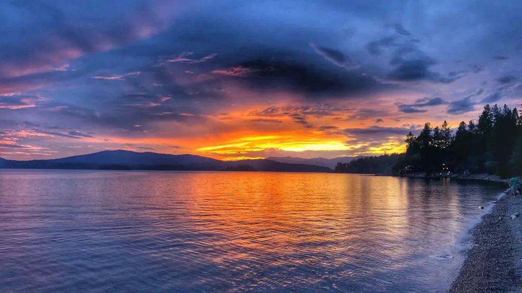 Sam OwenCampingPhoto: Recreation.gov (RIDB) / public domain9.3 mi
Source: Roamze catalog (indexable pages within 10 miles, PostGIS distance)
 STRONG CREEKHiking · ~13 min drivePhoto: Forest Service - Northern Region, Public Domain Mark (via Flickr)
- Char CreekHiking · ~1 min drive
- East Fork CreekHiking · ~1 min drive
- Regal MineHiking · ~4 min drive
- Spar PeakHiking · ~9 min drive
- Thunder CreekHiking · ~3 min drive
- Rattle Ridge SpurHiking · ~4 min drive
- Ross CreekHiking · ~13 min drive
- PORCUPINE CREEKHiking · ~4 min drive
- Regal Mine SpurHiking · ~5 min drive

