Robie Creek Park Group Shelter
Campground
The next 6 weekends are full on Recreation.gov
Adleman Mine Trail is a hard hike in Idaho's Boise River Wildlife Management Area, managed by State Fish and Wildlife. The trail is an out-and-back route of about 7.5 miles, starting and ending at roughly 3,619 feet. It climbs to about 5,772 feet, with a total gain of about 3,359 feet over the course of the trip. The trail is a rolling climb, and the one-way gain of about 2,690 feet makes it a demanding outing. Plan for a full day on foot, with the high point near 5,770 feet. Several other destinations sit within a few miles. The #E Route E Shaw Mountain Road and Route #E Shaw Mountain Road are mountain biking routes about 2 miles away. The Cervadae West Side Trail is a hike about 3 miles off, and Scary Canyon offers climbing about 4 miles away.
Robie Creek Park Group Shelter
Campground
 If it rainsTamanoeconomico, CC BY-SA 4.0 · Wikimedia Commons
Joseph Bown House
Museum
Places © OpenStreetMap contributors · Photos: Tamanoeconomico, CC BY-SA 4.0 (commons)
More in Idaho CityNot on Roamze yet. Their page has how to reach them.
 Cervadae West Side TrailHikingPhoto: U.S. Forest Service, Public domain (via Wikimedia Commons)2.9 mi
 Scary CanyonRock climbingPhoto: cifraser1, CC BY 2.0 (via Flickr)4 mi
Source: Roamze catalog (indexable pages within 10 miles, PostGIS distance)
Cervadae West Side TrailHiking · ~5 min drivePhoto: U.S. Forest Service, Public domain (via Wikimedia Commons)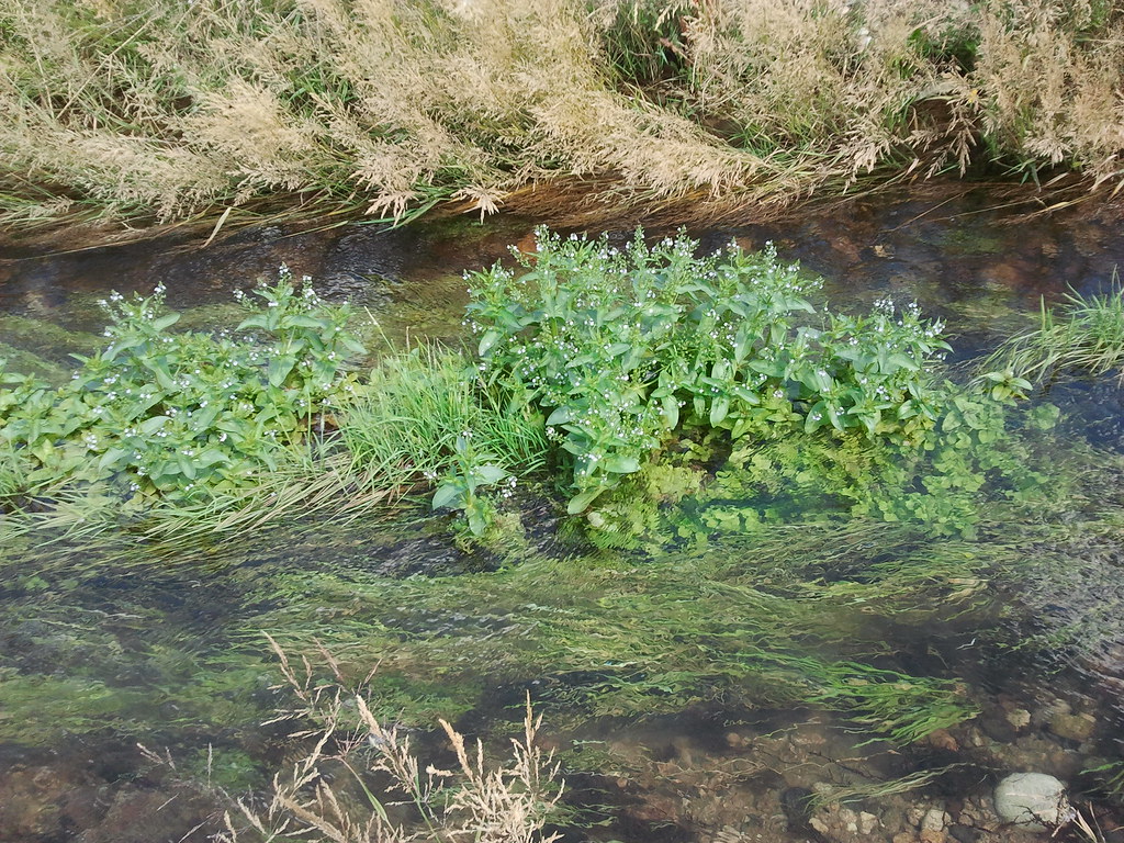 River Heights TrailHiking · ~7 min drivePhoto: cifraser1, CC BY 2.0 (via Flickr)
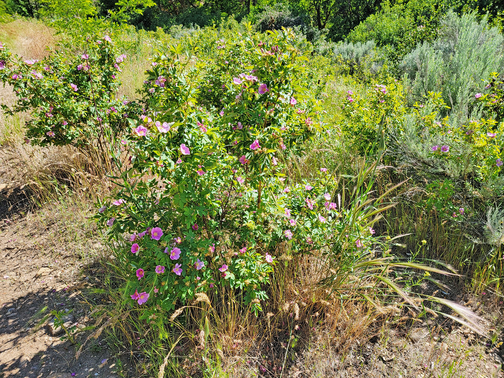 Route of the Oregon TrailHiking · ~9 min drivePhoto: AndreyZharkikh, CC BY 2.0 (via Flickr)
 Joel Palmer TrailHiking · ~8 min drivePhoto: waterarchives, CC BY-SA 2.0 (via Flickr)
 Historic Oregon TrailHiking · ~8 min drivePhoto: cifraser1, CC BY 2.0 (via Flickr)
 #6 Femrite's Patrol TrailHiking · ~12 min drivePhoto: Matt Lavin, CC BY-SA 2.0 (via Flickr)
 #5 Freestone RidgeHiking · ~12 min drivePhoto: Matt Lavin, CC BY-SA 2.0 (via Flickr)
 Oregon TrailHiking · ~8 min drivePhoto: cifraser1, CC BY 2.0 (via Flickr)
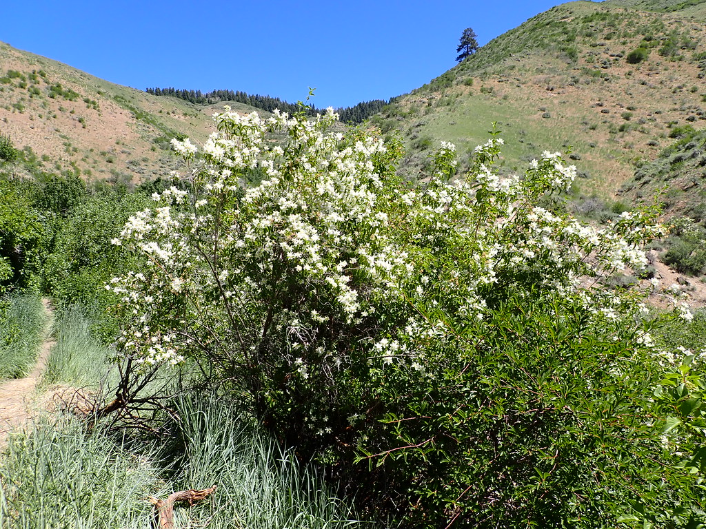 5-MileHiking · ~12 min drivePhoto: Matt Lavin, CC BY-SA 2.0 (via Flickr)#101 Basalt TrailHiking · ~8 min drivePhoto: waterarchives, CC BY-SA 2.0 (via Flickr)
Map and trail data © OpenStreetMap contributors
