Shafer Butte
Campground
Campground · 4.2 mi from the trail
Caution today
Agency alerts are in effect for this area; weather is good · USFS, OpenWeather · checked 2 h ago
Closure in the area
There's a closure order in Boise National Forest. It doesn't name Mr. Big, so check the source for the area it covers.
UPDATED Sept. 19 - Crooked Fire Area, Road, and Trail Closure
Agency closure covering Boise National Forest · Order 0402-03-140 · USFS · Boise National Forest
Lava Fire Road Closure
Agency alert covering Boise National Forest · Order 0402-06-84 · USFS · Boise National Forest
As of · Source: USFS · Boise National Forest. Agencies don't list every closure — check before you go.
Mr. Big is a 3.6-mile out-and-back hike in Idaho's Boise National Forest, within the Mountain Home Ranger District and the Stack Rock Reserve. The trail rises from about 4,725 feet to 5,378 feet, a gain of 654 feet, and is rated moderate. It is on city land, and the route is natural-surfaced and open year-round. The most comfortable stretch for a visit runs from late spring through early fall. Typical averages from a nearby weather station in Boise show June highs around 77°F and September highs around 76°F, with July the warmest month at about 88°F. That station sits roughly 1,500 feet lower than the trail's high point, so temperatures on the ridge run cooler. The trail is close to other outings. The #124 Mr. Big mountain biking route starts just 0.1 mile away, and the #126 Big-Stack Cutoff hike is 0.3 mile off. Climbers can head to The Playground, about 1.4 miles away, and Shafer Butte campground is 4.2 miles away.
Shafer Butte
Campground
Frontier Point Nordic Lodge
Restaurant
 If it rainsCamEQ, Facade of Art Museum designed by Trout Architects and Mark Mack in 1988, Public domain · Wikimedia Commons
Places © OpenStreetMap contributors · Photos: CamEQ, Facade of Art Museum designed by Trout Architects and Mark Mack in 1988, Public domain (commons)
More in Idaho CityNot on Roamze yet. Their page has how to reach them.
Source: Roamze catalog (indexable pages within 10 miles, PostGIS distance)
 #LT4 Snowshoe Hare LoopHiking · ~4 min drivePhoto: cifraser1, CC BY 2.0 (via Flickr)
 Lower LoopHiking · ~4 min drivePhoto: cifraser1, CC BY 2.0 (via Flickr)
 Lower Loop NordicHiking · ~4 min drivePhoto: cifraser1, CC BY 2.0 (via Flickr)#LT3 Doug Fir LoopHiking · ~4 min drivePhoto: cifraser1, CC BY 2.0 (via Flickr)
 Sapper's ReturnHiking · ~5 min drivePhoto: cifraser1, CC BY 2.0 (via Flickr)
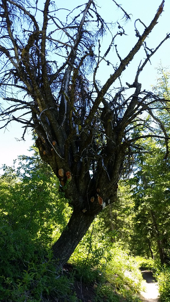 #98 Around the MountainHiking · ~6 min drivePhoto: cifraser1, CC BY 2.0 (via Flickr)
Best months: May–June and September–October. Best months have typical highs of 55–85 °F, lows of 30 °F or warmer (32 °F where the station doesn't record snow), at most one snowy day and no more than 12 wet days.
Jan
37° / 24°
13 wet · 9 snow
Feb
43° / 27°
12 wet · 6 snow
Mar
51° / 32°
13 wet · 5 snow
Apr
58° / 36°
11 wet · 3 snow
May
68° / 43°
11 wet · 1 snow
Jun
77° / 49°
7 wet
Jul
88° / 58°
4 wet
Aug
86° / 58°
3 wet
Sep
76° / 50°
5 wet
Oct
61° / 40°
7 wet · 1 snow
Nov
46° / 30°
12 wet · 5 snow
Dec
37° / 23°
14 wet · 9 snow
Typical high / low (°F) and days with rain or snow, 1991–2020. Measured at Boise 7 N, ID, 2.5 mi away at 3,885 ft. The station sits about 1,500 ft lower than this place, so expect it a little cooler here. Source: NOAA NCEI U.S. Climate Normals 1991–2020.

