Shafer Butte
Campground
Campground · 2.0 mi from the trail
 Photo: cifraser1, CC BY 2.0 (via Flickr)
Closure in the area
There's a closure order in Boise National Forest. It doesn't name Lower Loop Nordic, so check the source for the area it covers.
UPDATED Sept. 19 - Crooked Fire Area, Road, and Trail Closure
Agency closure covering Boise National Forest · Order 0402-03-140 · USFS · Boise National Forest
Lava Fire Road Closure
Agency alert covering Boise National Forest · Order 0402-06-84 · USFS · Boise National Forest
As of · Source: USFS · Boise National Forest. Agencies don't list every closure — check before you go.
Lower Loop Nordic is a short, easy hike in the Mountain Home Ranger District of Idaho's Boise National Forest, managed by the Forest Service. The trail is about 1.4 miles long, with a low point of 5,867 feet and a high of 6,012 feet, and it makes an out-and-back trip with a total elevation gain of about 140 feet. The trail is natural-surfaced and open from May 1 to October 31. Bikes are allowed, so it works for both walking and riding. Several other spots sit close by. The Lower Loop mountain biking route is about 0.2 miles away, and the #98 Around the Mountain route is about 0.3 miles away. Bogus Boulders, a climbing area, is about half a mile off, and Shafer Butte campground is about 2 miles away.
Shafer Butte
Campground
Frontier Point Nordic Lodge
Restaurant
 If it rainsCamEQ, Facade of Art Museum designed by Trout Architects and Mark Mack in 1988, Public domain · Wikimedia Commons
Places © OpenStreetMap contributors · Photos: CamEQ, Facade of Art Museum designed by Trout Architects and Mark Mack in 1988, Public domain (commons)
More in Idaho CityNot on Roamze yet. Their page has how to reach them.
 Photo: cifraser1, CC BY 2.0 (via Flickr)
Lower Loop
Next door
3.28-mile out-and-back trail in Idaho with 185 ft of elevation gain.
 Photo: cifraser1, CC BY 2.0 (via Flickr)
Sapper's Return
~1 min drive
0.86-mile out-and-back trail in Idaho with 65 ft of elevation gain.
HIKE
Around the Mountain
~3 min drive
6.12-mile loop trail in Idaho with 561 ft elevation gain.
HIKE
#78 Dry Creek
~6 min drive
#78 Dry Creek is a 15.38-mile out-and-back trail in Idaho with 3,115 ft gain/loss.
Photo: cifraser1, CC BY 2.0 (via Flickr)Deer Point
~1 min drive
4.08-mile out-and-back trail in Idaho with 688 ft elevation gain.
Photo: cifraser1, CC BY 2.0 (via Flickr)Redtail
~2 min drive
Redtail is a 1.17-mile loop trail in Idaho with 165 ft of elevation gain.
HIKE
Eastside
~1 min drive
13.96-mile out-and-back trail in Idaho with 1,067 ft elevation gain.
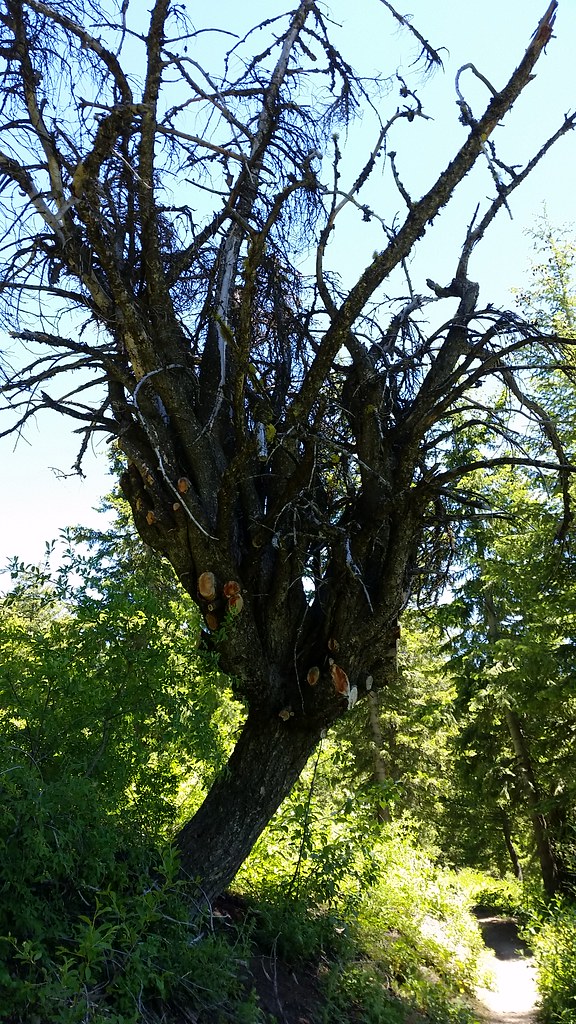 Photo: cifraser1, CC BY 2.0 (via Flickr)
#98 Around the Mountain
~2 min drive
5.08-mile out-and-back trail in Idaho with 2,110 ft gain/loss
 Photo: Matt Lavin, CC BY-SA 2.0 (via Flickr)
Bogus Creek Loop
~2 min drive
1.56-mile out-and-back trail in Idaho with 545 ft gain and 6,364 ft max elevation.
HIKE
Sinker Creek
~2 min drive
6.32-mile out-and-back trail in Idaho with 309 ft elevation gain.
