Massacre Creek
- 8.5 mi
- round trip
- 1,076 ft
- climb
- 8,434 ft
- high point
- Out and back
- route
Caution at last check
Weather is marginal · OpenWeather · checked 17 h ago
Massacre Creek is a hard hike on Bureau of Land Management land in Idaho's Upper Snake Field Office, about 8.5 miles long with an elevation gain of 1,076 feet. The trail is an out-and-back, starting at a low point of about 7,160 feet and reaching a high of about 8,430 feet. The route is natural-surfaced and open to both horses and bikes, so riders and pack animals can join the trip. It is a year-round trail, and the land is managed by the Bureau of Land Management. For a longer outing, Big Creek-Massacre lies about 2.3 miles away, and Swauger Lake is about 4.7 miles off. Paddlers can head to Wet Creek, about 4.8 miles away, and climbers will find The Main Wall about 8.3 miles from the trail.
- Big Creek-MassacreHiking2.3 mi
- Swauger LakeHiking4.7 mi
- Wet CreekCanoeing4.8 mi
- Dry CreekHiking5.1 mi
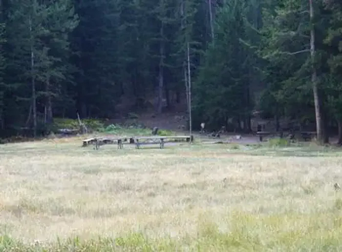 Loristica Group CampgroundCampingPhoto: Recreation.gov (RIDB) / public domain5.9 mi
- The Right FlankRock climbing8.3 mi
- The Main WallRock climbing8.3 mi
- Lower TierRock climbing8.3 mi
Source: Roamze catalog (indexable pages within 10 miles, PostGIS distance)
 Borah Peak TrailHiking · ~27 min drivePhoto: Fredlyfish4, CC BY-SA 4.0 (via Wikimedia Commons)
- Big Creek-MassacreHiking · ~4 min drive
- Shadow Lakes TrailHiking · ~10 min drive
- Leatherman Peak TrailHiking · ~23 min drive
- Swauger LakeHiking · ~8 min drive
- Long LostHiking · ~9 min drive
- Bear Creek LakeHiking · ~14 min drive
- Borah PeakHiking · ~31 min drive
- Long Lost-Wet CreekHiking · ~10 min drive
- SWAUGER LAKE SPUR 1Hiking · ~11 min drive

