Lost Lake
- 2.3 mi
- round trip
- 103 ft
- climb
- 2,529 ft
- high point
- Out and back
- route
- Apr–Oct
- best months
Is Lost Lake open right now?
Closure in the area
There's a closure order in Idaho Panhandle National Forests. It doesn't name Lost Lake, so check the source for the area it covers (3 listed).
Emergency Road Closure Lightning Creek / Forest Road 419
Agency closure covering Idaho Panhandle National Forests · Order 0104-06-26-002 · USFS · Idaho Panhandle National Forests
Abandoned Mines Area Closure
Agency closure covering Idaho Panhandle National Forests · Order 1-04-00-25-001 · USFS · Idaho Panhandle National Forests
Idaho Panhandle Seasonal Food Storage Order
Agency closure covering Idaho Panhandle National Forests · Order 01-04-00-24-001 · USFS · Idaho Panhandle National Forests
Beehive Lake Trail #279 Closure
Agency alert covering Sandpoint Ranger District · Order 01-04-06-26-007 · USFS · Sandpoint Ranger District
Heavy Truck Traffic on FS Road 209
Agency alert covering Idaho Panhandle National Forests · USFS · Idaho Panhandle National Forests
As of · Source: USFS · Idaho Panhandle National Forests. Agencies don't list every closure — check before you go.
Lost Lake is an easy out-and-back hike in the Sandpoint Ranger District of the Idaho Panhandle National Forests, managed by the Forest Service. The trail is about 2.3 miles long, with a low point of 2,411 feet and a high of 2,529 feet, and it gains about 100 feet of elevation. The trailhead is at Mineral Point, and the route is natural-surfaced and open to bikes. Summer is the most comfortable time to go. Typical averages from a nearby weather station in Sandpoint show July and August highs around 82°F with only five or six wet days a month, while winter highs stay in the low to mid 30s. The trail is open from June 1 to September 30. Mineral Point is the closest neighbor, about 0.1 mile away, and Mud Lake is about 0.3 mile away. Green Bay campground and the Blue Loop Trail are both about 1.4 miles off.
Local outfitters
- Kootenai River Campground30 mi away
- Nordman Resort39 mi away
Not on Roamze yet. Their page has how to reach them.
- Mineral PointHiking0.1 mi
- Mud LakeHiking0.3 mi
- Green BayCamping1.4 mi
- Blue Loop TrailHiking1.4 mi
- Gamlin LakeLake fishing1.9 mi
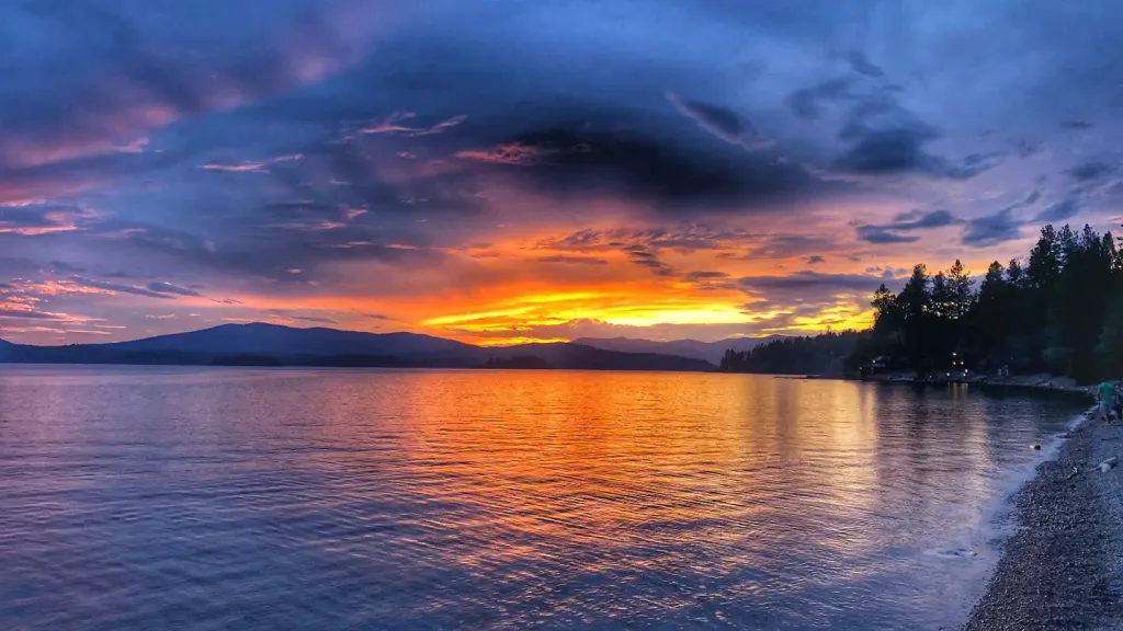 Sam OwenCampingPhoto: Recreation.gov (RIDB) / public domain5.3 mi
- Pend Oreille Lake AreaLake fishing5.5 mi
- Maiden RockCamping8.6 mi
Source: Roamze catalog (indexable pages within 10 miles, PostGIS distance)
 SCHAFER PEAKHiking · ~10 min drivePhoto: waterarchives, CC BY-SA 2.0 (via Flickr)
 Gold HillHiking · ~11 min drivePhoto: dknepper, CC BY-SA 3.0 (via Wikimedia Commons)
 Meadow TrailHiking · ~18 min drivePhoto: mjhbower, CC BY-SA 2.0 (via Flickr)
 STRONG CREEKHiking · ~15 min drivePhoto: Forest Service - Northern Region, Public Domain Mark (via Flickr)
- Grandma's TrailHiking · ~20 min drivePhoto: mjhbower, CC BY-SA 2.0 (via Flickr)
- FALLS CREEKHiking · ~16 min drive
- Pipeline TrailHiking · ~19 min drivePhoto: mjhbower, CC BY-SA 2.0 (via Flickr)
- DERR CREEKHiking · ~19 min drive
- Yellow Loop TrailHiking · ~2 min drive
- GRANITE CREEKHiking · ~18 min drive
Best time to visit Lost Lake
Best months: April–October. Best months have typical highs of 55–85 °F, lows of 30 °F or warmer (32 °F where the station doesn't record snow), at most one snowy day and no more than 12 wet days.
Jan
34° / 23°
15 wet
Feb
38° / 24°
13 wet
Mar
46° / 29°
14 wet
Apr
56° / 35°
12 wet
May
66° / 42°
11 wet
Jun
72° / 47°
10 wet
Jul
82° / 52°
6 wet
Aug
82° / 50°
5 wet
Sep
72° / 42°
7 wet
Oct
56° / 34°
11 wet
Nov
42° / 29°
14 wet
Dec
33° / 23°
15 wet
Typical high / low (°F) and days with rain or snow, 1991–2020. Measured at Sandpoint Exp Stn, ID, 10.4 mi away at 2,126 ft. This station doesn't record snowfall. Source: NOAA NCEI U.S. Climate Normals 1991–2020.
