Loon Creek
- 19.8 mi
- round trip
- 824 ft
- climb
- 8,004 ft
- high point
- Out and back
- route
Is Loon Creek open right now?
Alert in the area
The Forest Service lists 5 alerts for Payette National Forest.
Over Snow Vehicle Closure
Agency alert covering Payette National Forest · Order 0412-638 · USFS · Payette National Forest
Brundage Mountain Resort Snowcat Route Closure
Agency alert covering Payette National Forest · Order 0412-637 · USFS · Payette National Forest
Lost Valley Log Hauling
Agency alert covering Payette National Forest · USFS · Payette National Forest
Granite Mountain Over Snow Vehicle Closure
Agency alert covering Payette National Forest · Order 0412-635 · USFS · Payette National Forest
Gordon Titus Upper Elevation Parking Lot Winter Restrictions
Agency alert covering Payette National Forest · Order 0412-543 · USFS · Payette National Forest
As of · Source: USFS · Payette National Forest. Agencies don't list every closure — check before you go.
Loon Creek is a hard hike of about 20 miles in the Krassel Ranger District of Payette National Forest in Idaho. The trail is an out-and-back that climbs from roughly 5,800 feet to about 8,000 feet, with a total elevation gain of about 824 feet one way. The Forest Service manages the land, and the trail has a natural surface. Bikes are allowed, but it is not an accessible trail. Hum Lake and Pearl Lake Trail both lie within about 3 miles, and Brush Lake is a little farther at about 3.3 miles. For overnight stays, Upper Payette Lake Campground is about 6 miles away.
Local outfitters
- Black Bear RV Park14 mi away
- Arrowhead RV Park39 mi away
Not on Roamze yet. Their page has how to reach them.
- Hum LakeHiking2.6 mi
- Pearl Lake TrailHiking2.7 mi
- Brush LakeHiking3.3 mi
 North Fork Payette RiverCanoeingPhoto: Mll1013, Public domain (via Wikimedia Commons)5.7 mi
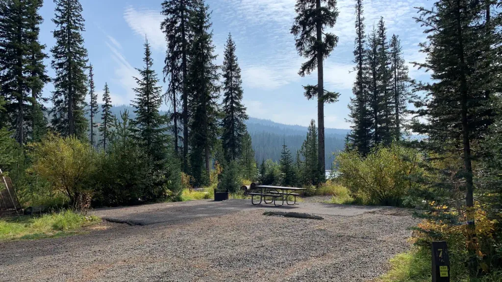 Upper Payette Lake CampgroundCampingPhoto: Recreation.gov (RIDB) / public domain6.1 mi
- Upper Payette Lake Group CampgroundCamping6.4 mi
- The Thinking SpotRock climbing7.7 mi
- Secesh Horse CampCamping8.3 mi
Source: Roamze catalog (indexable pages within 10 miles, PostGIS distance)
 Ridgeline TrailHiking · ~18 min drivePhoto: waterarchives, CC BY-SA 2.0 (via Flickr)
- Hum LakeHiking · ~4 min drive
- National Forest Development 104 Pack TrailHiking · ~8 min drive
- Fall Creek TrailHiking · ~11 min drive
- Pearl Lake TrailHiking · ~5 min drive
- Cougar CreekHiking · ~12 min drive
- Maki LakeHiking · ~10 min drive
- FRENCH CREEKHiking · ~15 min drive
- Brush LakeHiking · ~6 min drive
- COW CREEKHiking · ~14 min drive
