Log Mountain
- 9.3 mi
- round trip
- 1,726 ft
- climb
- 9,143 ft
- high point
- Out and back
- route
Is Log Mountain open right now?
Alert in the area
The Forest Service lists 5 alerts for Payette National Forest.
Over Snow Vehicle Closure (Forestwide)
Agency alert covering Payette National Forest · Order 0412-638 · USFS · Payette National Forest
Over Snow Vehicle Closure (Brundage Mountain Resort Snowcat Routes)
Agency alert covering Payette National Forest · Order 0412-637 · USFS · Payette National Forest
Lost Valley Log Hauling
Agency alert covering Payette National Forest · USFS · Payette National Forest
Over Snow Vehicle Closure (Granite Mountain)
Agency alert covering Payette National Forest · Order 0412-635 · USFS · Payette National Forest
Gordon Titus Upper Elevation Parking Lot Winter Restrictions
Agency alert covering Payette National Forest · Order 0412-543 · USFS · Payette National Forest
As of · Source: USFS · Payette National Forest. Agencies don't list every closure — check before you go.
Log Mountain is a hard hike in Idaho's Payette National Forest, within the Krassel Ranger District. The trail is an out-and-back that climbs from about 7,400 feet to roughly 9,100 feet, with a total elevation gain of 1,726 feet over a route of about 9.3 miles. The Forest Service manages the land, and the trail is open year-round. The trail is natural-surfaced and allows both horses and bikes, so it works for riders and pack animals as well as hikers. The climb is a steady one, and the route is long enough to plan around, with the high point near 9,100 feet. Several other destinations sit close by. Camp Creek Cutoff is about 0.3 miles away and Caton Lake about 0.5 miles. Indian Ridge is about 1.2 miles off, and the Four Mile campground is about 2.9 miles away.
Local outfitters
- Black Bear RV Park22 mi away
- Arrowhead RV Park32 mi away
Not on Roamze yet. Their page has how to reach them.
Conditions and forecast on Log Mountain
Daily highs and lows, wind and the chance of precipitation at the summit and route start for the next 7 days, from the Open-Meteo model.
- Camp Creek CutoffHiking0.3 mi
- CATON LAKEHiking0.5 mi
- INDIAN RIDGEHiking1.2 mi
- Four MileCamping2.9 mi
- CATON CREEKHiking3 mi
- Camp CreekCamping3.8 mi
- Reed Ranch Airstrip Developed SiteCamping4 mi
- Buckhorn CreekCanoeing7.6 mi
Source: Roamze catalog (indexable pages within 10 miles, PostGIS distance)
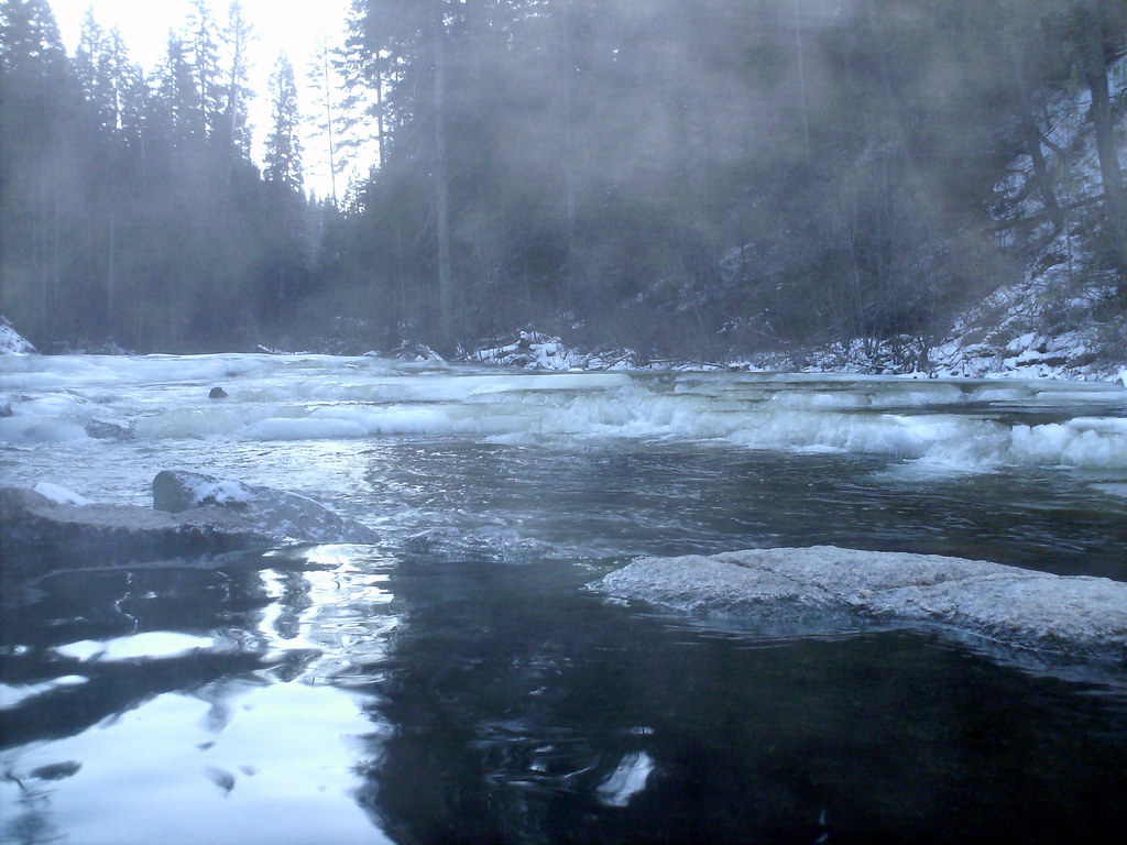 Nickel CreekHiking · ~18 min drivePhoto: Stupid Dingo, CC BY 2.0 (via Flickr)
- Camp Creek CutoffHiking · Next door
- CATON LAKEHiking · Next door
- BLACKMARE CREEKHiking · ~8 min drive
- CATON CREEKHiking · ~5 min drive
- INDIAN RIDGEHiking · ~2 min drive
- Miners PeakHiking · ~9 min drive
- Deadman Creek TrailHiking · ~11 min drive
- Rainbow LakeHiking · ~7 min drive
- CAMP CREEK CUT-OFFHiking · ~5 min drive
Route details
- Distance
- 9.3 mi round trip
- Climbing
- About 1,726 ft
- Summit
- 9,164 ft
- Difficulty
- Hard
Season
Season: Year-round.
Questions about this route
How long is the Log Mountain on Log Mountain?
About 9.3 mi round trip.
How much elevation gain is on the Log Mountain?
About 1,726 ft of climbing round trip.
How hard is the Log Mountain?
It is rated hard.
When is the best time for the Log Mountain?
Year-round.
