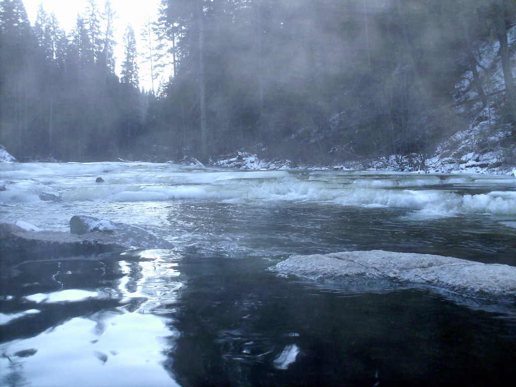
Camp Creek
- from $10
- fee
- May–Jun, Sep
- best months
Is Camp Creek open right now?
Alert in the area
The Forest Service lists 5 alerts for Payette National Forest.
Over Snow Vehicle Closure (Forestwide)
Agency alert covering Payette National Forest · Order 0412-638 · USFS · Payette National Forest
Over Snow Vehicle Closure (Brundage Mountain Resort Snowcat Routes)
Agency alert covering Payette National Forest · Order 0412-637 · USFS · Payette National Forest
Lost Valley Log Hauling
Agency alert covering Payette National Forest · USFS · Payette National Forest
Over Snow Vehicle Closure (Granite Mountain)
Agency alert covering Payette National Forest · Order 0412-635 · USFS · Payette National Forest
Gordon Titus Upper Elevation Parking Lot Winter Restrictions
Agency alert covering Payette National Forest · Order 0412-543 · USFS · Payette National Forest
As of · Source: USFS · Payette National Forest. Agencies don't list every closure — check before you go.
- At 4,500 ft
- Krassel Ranger DistrictPayette National Forest
Camp Creek is a Forest Service campground in the Krassel Ranger District of Idaho's Payette National Forest. It sits among a cluster of trails and campgrounds, with Phoebe Meadow Trail just 0.1 mile away and Reed Ranch Airstrip Developed Site at 0.2 mile. Vault toilets are the only amenity listed, and a fee is charged for stays. Summer is the most comfortable time to visit. Typical averages from the nearby Yellowpine weather station show July and August highs around 87°F with lows near 45°F and only five or six wet days a month, while winter highs stay in the mid-30s. Phoebe Creek campground is 0.6 mile away, and Martin Ridge and Cougar Creek hikes are each about 0.9 mile off. Four Mile campground lies roughly 2 miles away.
Local outfitters
- Black Bear RV Park19 mi away
- Chalet Family Campground21 mi away
Not on Roamze yet. Their page has how to reach them.
- Phoebe Meadow TrailHiking0.1 mi
- Reed Ranch Airstrip Developed SiteCamping0.2 mi
- Phoebe CreekCamping0.6 mi
- Martin RidgeHiking0.9 mi
- Cougar CreekHiking0.9 mi
- TEAPOT MOUNTAINHiking1 mi
- Four MileCamping2.1 mi
- Poverty FlatCamping4.6 mi
Source: Roamze catalog (indexable pages within 10 miles, PostGIS distance)
- Phoebe CreekCamping · ~1 min drive
- Johnson Creek GsHut camping · ~19 min drive
- Four MileCamping · ~4 min drive
- Paddy Flat Cabin WestHut camping · ~25 min drive
- Poverty FlatCamping · ~8 min drive
- Deadman Bar CampingCamping · ~9 min drive
- Indian PointCamping · ~15 min drive
- Confluence CampingCamping · ~16 min drive
- 33 Mile DispersedCamping · ~17 min drive
- Ice Hole CampgroundCamping · ~18 min drive
Best time to visit Camp Creek
Best months: May–June and September. Best months have typical highs of 55–85 °F, lows of 30 °F or warmer (32 °F where the station doesn't record snow), at most one snowy day and no more than 12 wet days.
Jan
36° / 12°
13 wet
Feb
40° / 16°
13 wet
Mar
46° / 23°
14 wet
Apr
56° / 29°
12 wet
May
64° / 35°
12 wet
Jun
74° / 41°
10 wet
Jul
87° / 45°
6 wet
Aug
87° / 45°
5 wet
Sep
76° / 37°
8 wet
Oct
59° / 30°
11 wet
Nov
43° / 22°
12 wet
Dec
34° / 15°
14 wet
Typical high / low (°F) and days with rain or snow, 1991–2020. Measured at Yellowpine, ID, 11.5 mi away at 5,050 ft. The station sits about 600 ft higher than this place, so expect it a little warmer here. This station doesn't record snowfall. Source: NOAA NCEI U.S. Climate Normals 1991–2020.
Closures we've recorded since August 2026
Over Snow Vehicle Closure (Forestwide)
Payette National Forest · Order dated November 2, 2026; seen Nov 10, 2026, no lift recorded · Forest Service