Little Currant
- 3.2 mi
- round trip
- 1,484 ft
- climb
- 6,917 ft
- high point
- Out and back
- route
- Jun–Sep
- best months
Is Little Currant open right now?
No closures listed
The Forest Service lists no closures for Caribou-Targhee National Forest.
As of · Source: USFS · Caribou-Targhee National Forest. Agencies don't list every closure — check before you go.
Little Currant is a moderate out-and-back hike in Idaho's Caribou-Targhee National Forest, within the Palisades Ranger District. The trail is about 3.2 miles long, with a one-way elevation gain of 1,484 feet, taking you from a low point of about 5,407 feet to a high of about 6,917 feet. The Forest Service manages the land, and the trail is open year-round. The route is natural-surfaced and allows both horses and bikes, so it works for riders and pack animals as well as hikers. That makes it a flexible option for a day on foot or on horseback. Summer is the most comfortable time to go. Typical averages from a nearby weather station in Swan Valley, which sits about 1,500 feet lower, show July highs around 85°F with lows near 46°F. At the top of the climb, temperatures run cooler. Winter is cold, with January highs around 30°F and lows near 11°F. Several other trails lie within a few miles, including ECHO/INDIAN CREEK at about 1.3 miles and DEADHORSE RIDGE at about 1.6 miles. Falls Campground is about 3.1 miles away, and the South Fork of the Snake River: Conant Boat Access is about 2.4 miles off for anglers.
Local outfitters
- Greys River Cove27 mi away
- The Virginian RV Park33 mi away
Not on Roamze yet. Their page has how to reach them.
Best time to go · Jun–Sep
Best time to visit Little Currant
Best months: June–September. Best months have typical highs of 55–85 °F, lows of 30 °F or warmer (32 °F where the station doesn't record snow), at most one snowy day and no more than 12 wet days.
Jan
30° / 11°
10 wet
Feb
35° / 14°
9 wet
Mar
45° / 22°
10 wet
Apr
56° / 27°
12 wet
May
66° / 35°
13 wet
Jun
75° / 41°
10 wet
Jul
85° / 46°
8 wet
Aug
84° / 44°
8 wet
Sep
75° / 37°
8 wet
Oct
59° / 29°
8 wet
Nov
43° / 20°
9 wet
Dec
32° / 12°
9 wet
Typical high / low (°F) and days with rain or snow, 1991–2020. Measured at Swan Valley, ID, 7.3 mi away at 5,397 ft. The station sits about 1,500 ft lower than this place, so expect it a little cooler here. This station doesn't record snowfall. Source: NOAA NCEI U.S. Climate Normals 1991–2020.
Keep exploring — more trails worth the drive
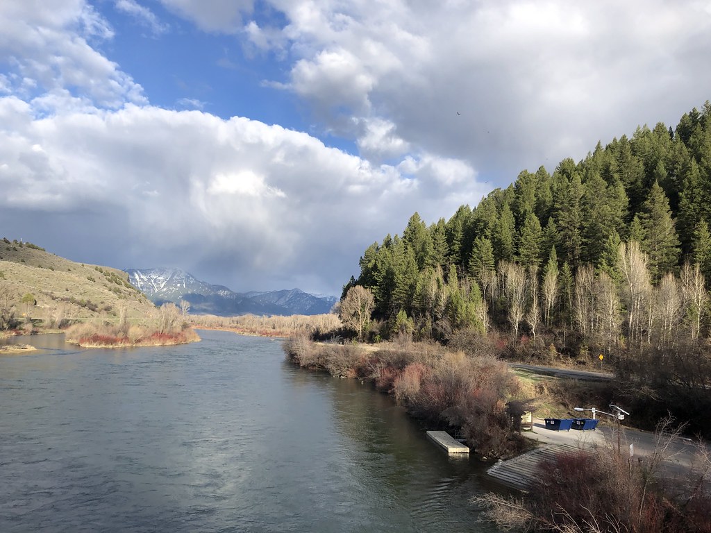 Photo: Rainhead, CC BY-SA 2.0 (via Flickr)
ECHO/INDIAN CREEK
~2 min drive
3.82-mile out-and-back trail in Idaho with 1,166 ft elevation gain
 Photo: InSapphoWeTrust from Los Angeles, California, USA, CC BY-SA 2.0 (via Wikimedia Commons)
Poison Creek
~19 min drive
8.54-mile out-and-back trail in Idaho with 2,030 ft elevation gain.
HIKE
PORCUPINE CREEK
~5 min drive
2.0-mile out-and-back trail in Idaho with 678 ft gain/loss and max elevation 6,268 ft.
HIKE
Red Ridge Trail
~11 min drive
22.08-mile out-and-back trail in Idaho with 6,603 ft elevation gain/loss.
HIKE
HORSE CREEK
~3 min drive
6.62-mile out-and-back trail in Idaho with 1,921 ft gain and 7,021 ft max elevation.
HIKE
DEADHORSE RIDGE
~3 min drive
7.32-mile out-and-back trail in Idaho with 2,530 ft gain/loss and 7,376 ft max elevation.
HIKE
Garden Creek
~7 min drive
6.09-mile out-and-back trail in Idaho with 751 ft elevation gain.
HIKE
RED RIDGE
~11 min drive
14.84-mile out-and-back trail in Idaho with 5,377 ft elevation gain/loss.
HIKE
PRITCHARD CREEK CUTOFF
~4 min drive
3.84-mile out-and-back trail in Idaho with 2,151 ft elevation gain
HIKE
North Fork Bear Creek Trail
~11 min drive
10.98-mile out-and-back trail in Idaho with 2,785 ft elevation gain.
