Lemhi
- 12.1 mi
- round trip
- 318 ft
- climb
- 8,291 ft
- high point
- Out and back
- route
Is Lemhi open right now?
Alert in the area
The Forest Service lists 5 alerts for Payette National Forest.
Over Snow Vehicle Closure (Forestwide)
Agency alert covering Payette National Forest · Order 0412-638 · USFS · Payette National Forest
Over Snow Vehicle Closure (Brundage Mountain Resort Snowcat Routes)
Agency alert covering Payette National Forest · Order 0412-637 · USFS · Payette National Forest
Lost Valley Log Hauling
Agency alert covering Payette National Forest · USFS · Payette National Forest
Over Snow Vehicle Closure (Granite Mountain)
Agency alert covering Payette National Forest · Order 0412-635 · USFS · Payette National Forest
Gordon Titus Upper Elevation Parking Lot Winter Restrictions
Agency alert covering Payette National Forest · Order 0412-543 · USFS · Payette National Forest
As of · Source: USFS · Payette National Forest. Agencies don't list every closure — check before you go.
Lemhi is a 12-mile out-and-back hike in Idaho's Frank Church-River of No Return Wilderness, within the Krassel Ranger District of the Payette National Forest. The trail climbs from about 6,660 feet to 8,291 feet, a gain of 318 feet, and is rated hard. The Forest Service manages the land, and the route is natural-surfaced and open year-round. Horses are allowed, but bikes are not. The trail is a long, steady climb, and the high point sits well above the starting elevation. Fishlake lies about a mile away, and Flossie Lake and the South Fork Chamberlain Creek Trail are each about 3 miles off. For an overnight base, Mackay Bar campground is roughly 6.5 miles away.
- FishlakeHiking1.3 mi
- South Fork Chamberlain Creek TrailHiking3 mi
- Flossie LakeHiking3.1 mi
- Three BlazeHiking3.3 mi
- RimHiking5.4 mi
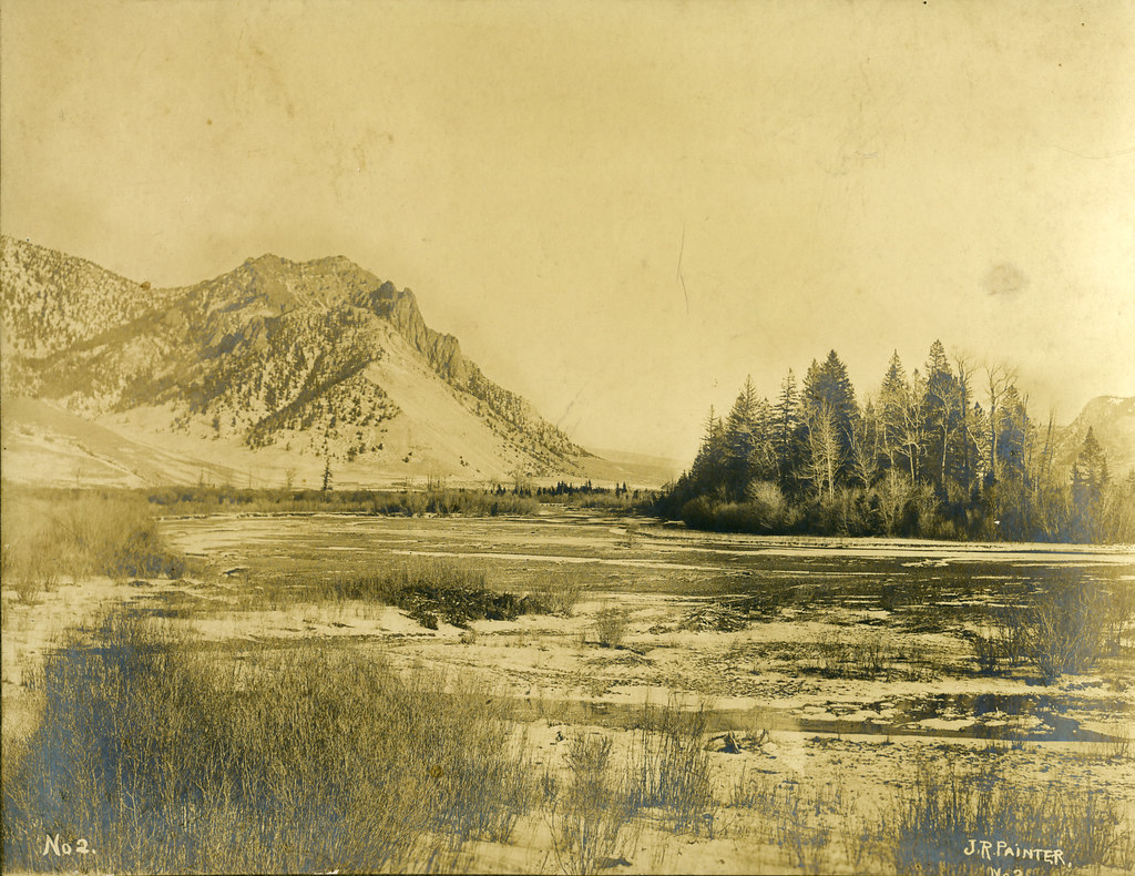 Painter Trail #213HikingPhoto: waterarchives, CC BY-SA 2.0 (via Flickr)6.2 mi
- Mackay BarCamping6.5 mi
- Chamberlain BasinCamping7.2 mi
Source: Roamze catalog (indexable pages within 10 miles, PostGIS distance)
- Painter Trail #213Hiking · ~11 min drivePhoto: waterarchives, CC BY-SA 2.0 (via Flickr)
- FishlakeHiking · ~2 min drive
- Flossie LakeHiking · ~5 min drive
- Rock RabbitHiking · ~17 min drive
- Salmon River Trail EastHiking · ~11 min drivePhoto: waterarchives, CC BY-SA 2.0 (via Flickr)
- Rabbit Point TrailHiking · ~20 min drive
- Three BlazeHiking · ~6 min drive
- Horse Heaven TrailHiking · ~15 min drive
- RimHiking · ~9 min drive
- SOUTH FORK CHAMBERLAIN CREEKHiking · ~15 min drive
