Lemhi Point
- 6,810 ft
- summit
- Jun–Aug
- best months
Is Lemhi Point open right now?
Alert in the area
The Forest Service lists 5 alerts for Payette National Forest.
Over Snow Vehicle Closure (Forestwide)
Agency alert covering Payette National Forest · Order 0412-638 · USFS · Payette National Forest
Over Snow Vehicle Closure (Brundage Mountain Resort Snowcat Routes)
Agency alert covering Payette National Forest · Order 0412-637 · USFS · Payette National Forest
Lost Valley Log Hauling
Agency alert covering Payette National Forest · USFS · Payette National Forest
Over Snow Vehicle Closure (Granite Mountain)
Agency alert covering Payette National Forest · Order 0412-635 · USFS · Payette National Forest
Gordon Titus Upper Elevation Parking Lot Winter Restrictions
Agency alert covering Payette National Forest · Order 0412-543 · USFS · Payette National Forest
As of · Source: USFS · Payette National Forest. Agencies don't list every closure — check before you go.
Lemhi Point is a summit of 6,810 feet in Idaho's Frank Church-River of No Return Wilderness, within the Krassel Ranger District of the Payette National Forest. The nearest town is Jim Moore Place, about 4.6 miles away. Summer is the most comfortable time to visit. Typical averages from a nearby weather station at Dixie, which sits roughly 1,070 feet lower, show July and August highs around 76°F with lows in the upper 30s. That station's figures are only a guide, since temperatures on the summit run cooler. Several trails lie within a few miles. Painter Trail #213 is about 3.4 miles away, the Salmon River Trail East about 3.8 miles, and the Lemhi hike about 4.1 miles. For an overnight base, Mackay Bar campground is about 4.6 miles off.
Conditions and forecast
Daily highs and lows, wind and the chance of precipitation at the summit for the next 7 days, from the Open-Meteo model.
- Summit elevation
- 6,810 ft
Elevation from USGS 3D Elevation Program terrain data (about 10 m resolution).
We don't know of a mapped trail or route to the summit of Lemhi Point. Plan the approach with local maps, a guidebook or a local guide, and check conditions before you go.
Questions about Lemhi Point
How tall is Lemhi Point?
6,810 ft (2,076 m).
Is there a trail to the top of Lemhi Point?
We don't know of a mapped trail or route to the summit. Plan the approach with local maps, a guidebook or a local guide.
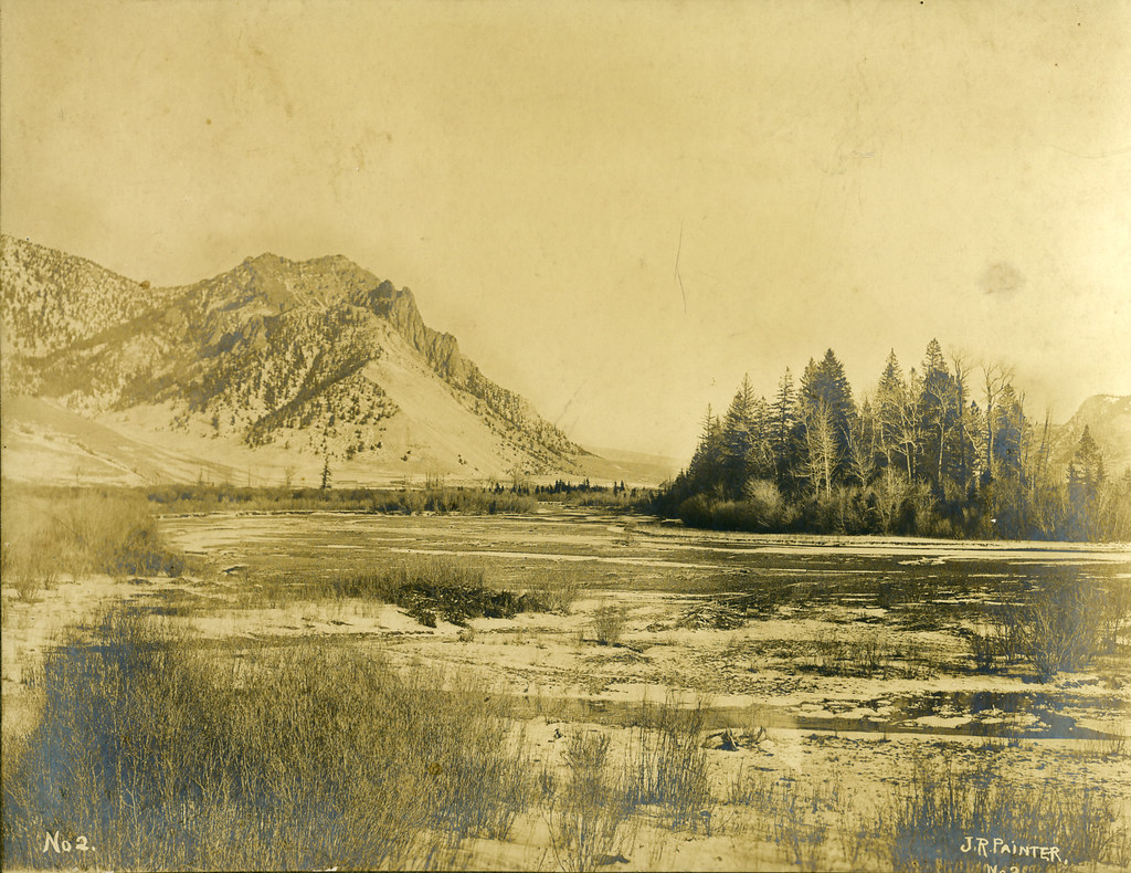 Painter Trail #213HikingPhoto: waterarchives, CC BY-SA 2.0 (via Flickr)3.4 mi
- Salmon River Trail EastHikingPhoto: waterarchives, CC BY-SA 2.0 (via Flickr)3.8 mi
- LemhiHiking4.1 mi
- Mackay BarCamping4.6 mi
- FishlakeHiking5.1 mi
- Halfway HouseCamping8.1 mi
- Sams CreekCamping8.4 mi
- Crooked CreekCanoeing9 mi
Source: Roamze catalog (indexable pages within 10 miles, PostGIS distance)
- Rabbit PointSummit · ~8 min drive
- Horse HeavenSummit · ~12 min drive
- Jersey MountainSummit · ~16 min drive
- Hida PointSummit · ~18 min drive
- Nelson PointSummit · ~18 min drive
- Burpee MountainSummit · ~21 min drive
- Jack MountainSummit · ~23 min drive
- Oregon ButteSummit · ~25 min drive
- Cottontail PointSummit · ~30 min drive
- Arctic PointSummit · ~30 min drive
Best time to visit Lemhi Point
Best months: June–August. Best months have typical highs of 55–85 °F, lows of 30 °F or warmer (32 °F where the station doesn't record snow), at most one snowy day and no more than 12 wet days.
Jan
31° / 5°
Feb
33° / 8°
Mar
38° / 13°
Apr
46° / 20°
May
57° / 28°
Jun
64° / 35°
Jul
76° / 39°
Aug
76° / 36°
Sep
65° / 31°
Oct
52° / 24°
Nov
36° / 14°
Dec
28° / 5°
Typical high / low (°F) and days with rain or snow, 1991–2020. Measured at Dixie N, ID, 9.8 mi away at 5,740 ft. The station sits about 1,100 ft lower than this place, so expect it a little cooler here. This station doesn't record snowfall. Source: NOAA NCEI U.S. Climate Normals 1991–2020.
Closures we've recorded since August 2026
Over Snow Vehicle Closure (Forestwide)
Payette National Forest · Order dated November 2, 2026; seen Nov 10, 2026, no lift recorded · Forest Service
