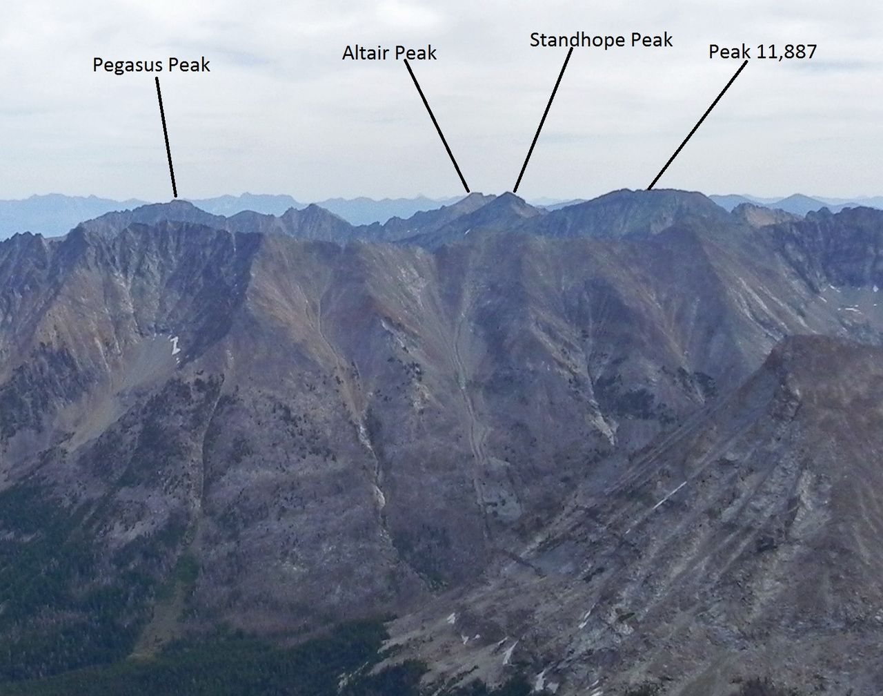
Grant Creek Trail
- 1.1 mi
- round trip
- 1,049 ft
- climb
- 8,221 ft
- high point
- Out and back
- route
Is GRANT CREEK TRAIL open right now?
Alert in the area
The Forest Service lists an alert for Salmon-Challis National Forest.
Stoddard Bridge Construction Closure
Agency alert covering Salmon-Challis National Forest · Order 0413-07-17 · USFS · Salmon-Challis National Forest
As of · Source: USFS · Salmon-Challis National Forest. Agencies don't list every closure — check before you go.
Grant Creek Trail is a moderate hike in Idaho's Salmon-Challis National Forest, within the Lost River Ranger District. The Forest Service manages the land, and the nearest town is Chilly, about 9 miles away. The trail is an out-and-back that covers about 2.3 miles, with a total elevation gain of roughly 1,050 feet. The climb is front-loaded, and the steepest stretch comes around the 1-mile mark, where the grade reaches about 23%. The trail starts at about 7,380 feet and reaches a high point of about 8,220 feet. Garden Creek Campground sits about 4 miles away, and the Garden Creek BLM Connector is a little farther. Paddlers can head to the East Fork Big Lost River, about 7 miles off, and the East Fork Boone Creek hike is a similar distance.
Local outfitters
- The Sawmill Station30 mi away
- Camp Perkins42 mi away
Not on Roamze yet. Their page has how to reach them.
- Garden Creek CampgroundCamping3.7 mi
- GARDEN CREEK BLM CONNECTORHiking4.2 mi
- East Fork Big Lost RiverCanoeing7.2 mi
- East Fork Boone CreekHiking7.3 mi
- COPPER BASIN LOOP RD FR-138Hiking8.8 mi
- Fall CreekHiking9.3 mi
- Waterfall TrailHiking9.3 mi
- Lake Basin-Hells CanyonHiking9.4 mi
Source: Roamze catalog (indexable pages within 10 miles, PostGIS distance)
 FALL CREEK SPUR 1Hiking · ~18 min drivePhoto: Kade Godfrey, CC BY 3.0 (via Wikimedia Commons)
 Borah Peak TrailHiking · ~25 min drivePhoto: Fredlyfish4, CC BY-SA 4.0 (via Wikimedia Commons)
- MOOSE LAKE SPURHiking · ~17 min drive
- Mount Breitenbach TrailHiking · ~26 min drive
 Herd Lake TrailHiking · ~20 min drivePhoto: BLMIdaho, Public domain (via Wikimedia Commons)
- East Fork Boone CreekHiking · ~12 min drive
- BARTLETT-BURNT TRAILHiking · ~18 min drive
- LAKE CREEKHiking · ~26 min drive
- Herd Lake Campsite TrailHiking · ~21 min drivePhoto: BLMIdaho, Public domain (via Wikimedia Commons)
- COPPER BASIN LOOP RD FR-138Hiking · ~15 min drive