Wildhorse Campground
Campground
Campground · 2.1 mi from the trail
Caution at last check
Agency alerts are in effect for this area; weather is good · USFS, OpenWeather · checked 21 h ago
Alert in the area
The Forest Service lists an alert for Salmon-Challis National Forest.
Stoddard Bridge Construction Closure
Agency alert covering Salmon-Challis National Forest · Order 0413-07-17 · USFS · Salmon-Challis National Forest
As of · Source: USFS · Salmon-Challis National Forest. Agencies don't list every closure — check before you go.
Waterfall Trail is a short, easy hike in Idaho's Salmon-Challis National Forest, within the Lost River Ranger District. The trail is about 1.4 miles long, with an out-and-back route that gains about 110 feet from the low point at 7,238 feet to the high at 7,364 feet. The trail is accessible and paved with gravel, and it is open year-round. Bikes are allowed, so it works for hikers and cyclists alike. The trailhead is at Fall Creek Trailhead, and parking is available there. Summer is the most comfortable time to visit. A nearby weather station records typical July highs around 82°F with lows near 47°F, and the trail sits higher than that station, so expect it to run slightly cooler. Fall Creek lies just 0.1 mile away, and Boulder Creek is about 1.9 miles off. For camping, Phi Kappa Campground is roughly 6.9 miles away, and paddlers can head to the East Fork Big Lost River, about 6.4 miles away.
Wildhorse Campground
Campground
The Sun Valley Club
Restaurant
Sun Valley Museum of Art
Museum
Places © OpenStreetMap contributors
More in KetchumNot on Roamze yet. Their page has how to reach them.
Best months: May–September. Best months have typical highs of 55–85 °F, lows of 30 °F or warmer (32 °F where the station doesn't record snow), at most one snowy day and no more than 12 wet days.
Jan
31° / 7°
4 wet · 4 snow
Feb
34° / 11°
4 wet · 3 snow
Mar
44° / 21°
5 wet · 2 snow
Apr
53° / 28°
7 wet · 1 snow
May
63° / 35°
9 wet
Jun
72° / 41°
7 wet
Jul
82° / 47°
6 wet
Aug
80° / 45°
5 wet
Sep
72° / 37°
5 wet
Oct
57° / 28°
5 wet · 1 snow
Nov
41° / 18°
5 wet · 2 snow
Dec
30° / 9°
5 wet · 4 snow
Typical high / low (°F) and days with rain or snow, 1991–2020. Measured at Chilly Barton Flat, ID, 15.2 mi away at 6,260 ft. The station sits about 1,100 ft lower than this place, so expect it a little cooler here. Source: NOAA NCEI U.S. Climate Normals 1991–2020.
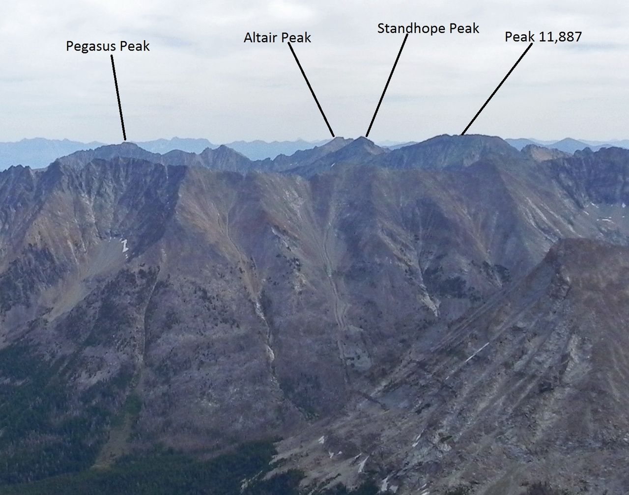
 Photo: Kade Godfrey, CC BY 3.0 (via Wikimedia Commons)
FALL CREEK SPUR 1
~4 min drive
3.18-mile out-and-back trail in Idaho with 615 ft elevation gain.
HIKE
Boulder Creek
~3 min drive
7.82-mile out-and-back trail in Idaho with 2,224 ft elevation gain.
HIKE
MOOSE LAKE SPUR
~4 min drive
4.16-mile out-and-back trail in Idaho with 1,842 ft elevation gain and loss.
HIKE
LAKE CREEK
~19 min drive
16.98-mile out-and-back trail in Idaho with 3,069 ft elevation gain.
HIKE
Phi Kappa
~11 min drive
2.77-mile out-and-back trail in Idaho with 891 ft elevation gain.
HIKE
Little Kane Creek
~5 min drive
7.46-mile out-and-back trail in Idaho with 1,692 ft elevation gain.
HIKE
BARTLETT-BURNT TRAIL
~11 min drive
3.24-mile out-and-back trail in Idaho with 1,744 ft elevation gain
HIKE
Bellas-Broad Connector
~12 min drive
2.82-mile out-and-back trail in Idaho with 557 ft gain.
HIKE
Kane Lake
~9 min drive
7.18-mile out-and-back trail in Idaho with 1,615 ft of elevation gain.
HIKE
BARTLETT CREEK
~13 min drive
1.66-mile out-and-back trail in Idaho with 780 ft gain and 8,059 ft max elevation.