Gold Run
- 4.6 mi
- round trip
- 1,754 ft
- climb
- 8,247 ft
- high point
- Out and back
- route
Is Gold Run open right now?
Alert in the area
The Forest Service lists 4 alerts for Sawtooth National Forest.
Paradise Prescribed Burn Restricted Access
Agency alert covering Sawtooth National Forest · USFS · Sawtooth National Forest
Grandjean Area, Road, and Trail Closure
Agency alert covering Sawtooth National Forest · Order 0414-04-165 · USFS · Sawtooth National Forest
Over-Snow Vehicle and Bicycle Prohibitions
Agency alert covering Sawtooth National Forest · Order 0414-00-028 · USFS · Sawtooth National Forest
Occupancy and Use - Food Storage
Agency alert covering Sawtooth National Forest · Order 0414-04-143 · USFS · Sawtooth National Forest
As of · Source: USFS · Sawtooth National Forest. Agencies don't list every closure — check before you go.
Gold Run is a hard hike in Idaho's Sawtooth National Forest, within the Fairfield Ranger District. The trail is an out-and-back that climbs from about 6,500 feet to roughly 8,250 feet, with a total elevation gain of 1,754 feet over a round trip of about 4.6 miles. The Forest Service manages the land, and the trail is open year-round. The route is natural-surface and allows both horses and bikes, so it works for riders and pack animals as well as hikers. The climb is a steady one, and the high point sits well above the low point, making the trip a test of endurance rather than a short, easy outing. Several other trails start close by. Perkins Creek is about 0.3 miles away, and East Fork Gold Run and Bass Creek Trail are each within about a mile. For an overnight base, Powerplant Campground is about 7.6 miles off.
- Perkins CreekHiking0.3 mi
- East Fork Gold RunHiking0.9 mi
- Bass Creek TrailHiking1 mi
- South Fork Boise RiverCanoeing6.5 mi
- Powerplant CampgroundCamping7.6 mi
- Middle Fork Boise RiverCanoeing8.2 mi
- Atlanta CabinCamping8.6 mi
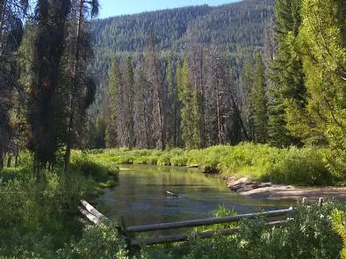 Alturas Lake InletCampingPhoto: Recreation.gov (RIDB) / public domain8.6 mi
Source: Roamze catalog (indexable pages within 10 miles, PostGIS distance)
 Alpine Creek TrailHiking · ~14 min drivePhoto: Stupid Dingo, CC BY 2.0 (via Flickr)
- Perkins CreekHiking · Next door
- Jake's GulchHiking · ~7 min drive
- High Creek TrailHiking · ~10 min drive
 West Fork Skeleton Cr (Mill)Hiking · ~16 min drivePhoto: Sam Beebe, CC BY 2.0 (via Flickr)
- Steep CreekHiking · ~3 min drive
- Emma Creek TrailHiking · ~7 min drive
- Little BearHiking · ~2 min drive
- South Fork Ross Fork TrailHiking · ~3 min drive
- Goat Lake TrailHiking · ~8 min drive
