Garland Creek
- 5.4 mi
- loop
- 1,907 ft
- climb
- 8,925 ft
- high point
- Loop
- route
Is Garland Creek open right now?
Alert in the area
The Forest Service lists 4 alerts for Sawtooth National Forest.
Paradise Prescribed Burn Restricted Access
Agency alert covering Sawtooth National Forest · USFS · Sawtooth National Forest
Grandjean Area, Road, and Trail Closure
Agency alert covering Sawtooth National Forest · Order 0414-04-165 · USFS · Sawtooth National Forest
Over-Snow Vehicle and Bicycle Prohibitions
Agency alert covering Sawtooth National Forest · Order 0414-00-028 · USFS · Sawtooth National Forest
Occupancy and Use - Food Storage
Agency alert covering Sawtooth National Forest · Order 0414-04-143 · USFS · Sawtooth National Forest
As of · Source: USFS · Sawtooth National Forest. Agencies don't list every closure — check before you go.
Garland Creek is a 5.4-mile loop hike in Idaho's Cecil D. Andrus-White Clouds Wilderness, part of the Sawtooth National Recreation Area within the Sawtooth National Forest. The Forest Service manages the land, and the trail is rated moderate with a total elevation gain of 1,907 feet. The route starts at about 6,846 feet and climbs to roughly 8,925 feet. It is a natural-surface trail, and horses are allowed. Bikes are not. For an overnight base, Chinook Bay Campground and Mountain View Campground both sit about 5 miles away. The Lookout Mountain Cuttoff and Rough Creek-Skyline hikes are within a few miles.
Local outfitters
- Camp Perkins17 mi away
- The Sawmill Station17 mi away
Not on Roamze yet. Their page has how to reach them.
- LOOKOUT MOUNTAIN CUTTOFFHiking1.2 mi
- ROUGH CREEK-SKYLINEHiking3.2 mi
- Chinook Bay CgCamping5.2 mi
- Mountain View CampgroundCamping5.3 mi
- Warm Springs CreekCanoeing5.3 mi
 Roundabout BoulderRock climbingPhoto: Fredlyfish4 at English Wikipedia, CC BY-SA 3.0 (via Wikimedia Commons)5.6 mi
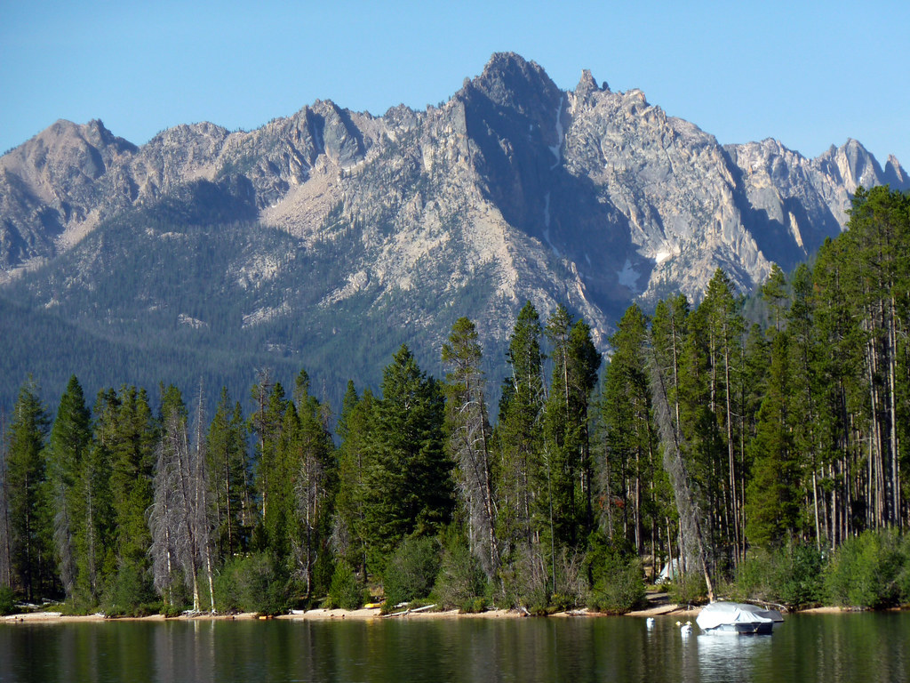 Redfish Lake BoulderingRock climbingPhoto: treegrow, CC BY 2.0 (via Flickr)6.7 mi
- Salmon RiverRiver fishing6.9 mi
Source: Roamze catalog (indexable pages within 10 miles, PostGIS distance)
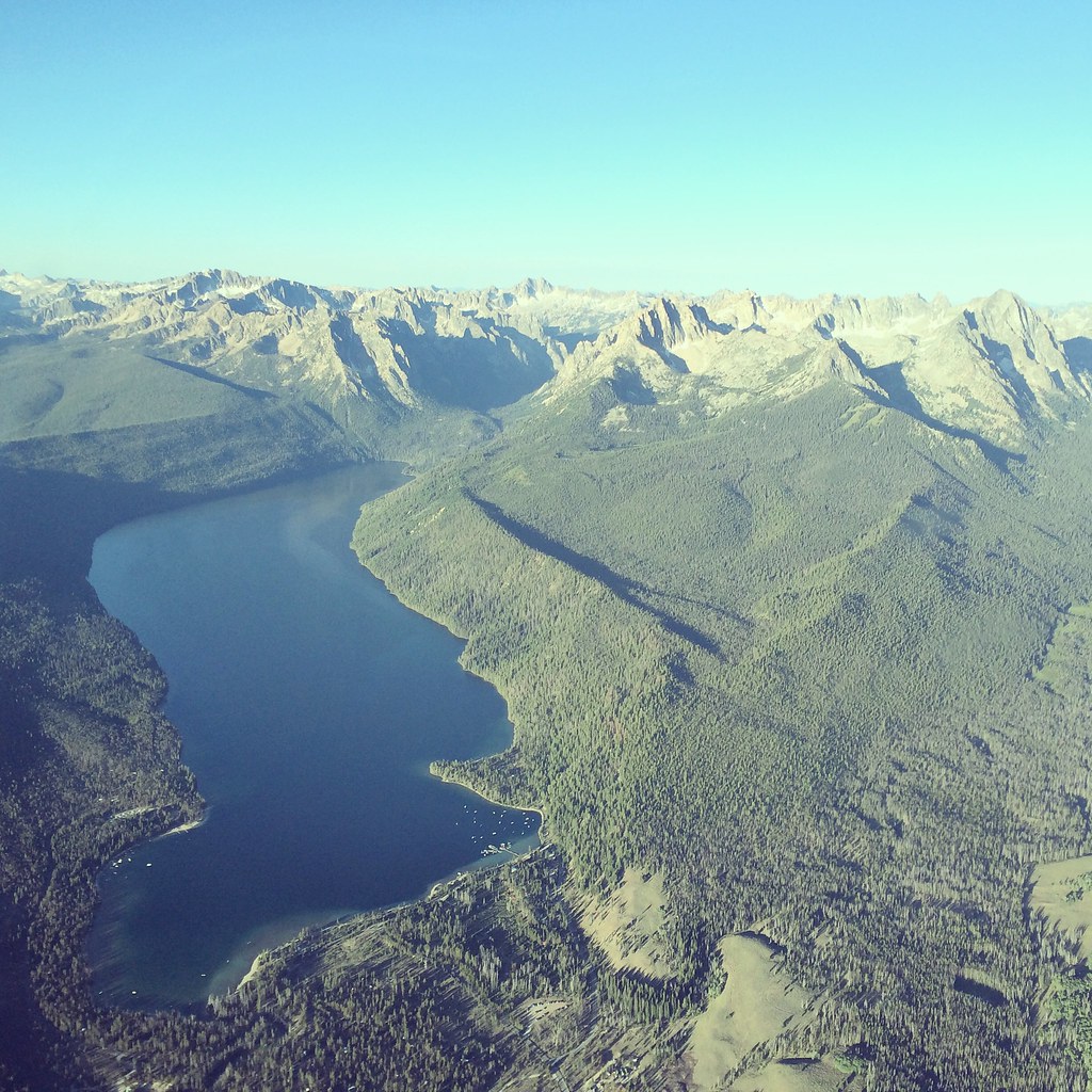 REDFISH LAKEHiking · ~9 min drivePhoto: Sam Beebe, CC BY 2.0 (via Flickr)
 CUSTER TRAIL, RD #013, #070 -WHiking · ~13 min drivePhoto: tinosa, Public domain (via Wikimedia Commons)
 Fishhook TrailHiking · ~14 min drivePhoto: bgwashburn, CC BY 2.0 (via Flickr)
 HuckleberryHiking · ~15 min drivePhoto: U.S. Forest Service employees, Public domain (via Wikimedia Commons)
 Marshall Lake CutoffHiking · ~12 min drivePhoto: treegrow, CC BY 2.0 (via Flickr)
- GARDNER CREEKHiking · ~17 min drive
- Fishhook TrailHiking · ~14 min drivePhoto: bgwashburn, CC BY 2.0 (via Flickr)
 Grand Mogul TrailHiking · ~16 min drivePhoto: WaterArchives.org from Sacramento, California, USA, CC BY-SA 2.0 (via Wikimedia Commons)
 Redfish Ridge TrailHiking · ~13 min drivePhoto: J. Crane, Public domain (via Wikimedia Commons)
 KELLY CREEK TRAILHiking · ~16 min drivePhoto: U.S. Forest Service employees, Public domain (via Wikimedia Commons)


