National Forest Development 104 Pack
- 22.7 mi
- round trip
- 1,281 ft
- climb
- 7,757 ft
- high point
- Out and back
- route
Is National Forest Development 104 Pack open right now?
Alert in the area
The Forest Service lists 5 alerts for Payette National Forest.
Over Snow Vehicle Closure
Agency alert covering Payette National Forest · Order 0412-638 · USFS · Payette National Forest
Brundage Mountain Resort Snowcat Route Closure
Agency alert covering Payette National Forest · Order 0412-637 · USFS · Payette National Forest
Lost Valley Log Hauling
Agency alert covering Payette National Forest · USFS · Payette National Forest
Granite Mountain Over Snow Vehicle Closure
Agency alert covering Payette National Forest · Order 0412-635 · USFS · Payette National Forest
Gordon Titus Upper Elevation Parking Lot Winter Restrictions
Agency alert covering Payette National Forest · Order 0412-543 · USFS · Payette National Forest
As of · Source: USFS · Payette National Forest. Agencies don't list every closure — check before you go.
National Forest Development 104 Pack is a hard hike in the McCall Ranger District of Payette National Forest in Idaho, about 8.4 miles from the town of McCall. The route is an out-and-back that covers roughly 22.7 miles, with a one-way elevation gain of 1,281 feet, taking you from a low point of about 5,383 feet to a high of about 7,757 feet. The Paddy Flat Lake Fork Pack Trail starts just 0.1 mile away, and Lake Fork campground sits about 1.8 miles off. Kennally Creek Pack Trail is about 2.2 miles away, and the Baby Problems climbing area is about 2.4 miles away.
Local outfitters
- Black Bear RV Park8 mi away
- Arrowhead RV Park28 mi away
Not on Roamze yet. Their page has how to reach them.
Keep exploring — more trails worth the drive
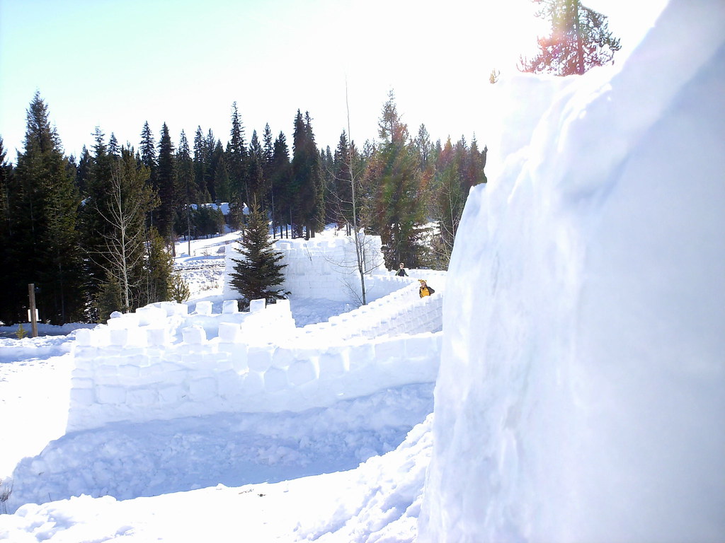 Photo: Stupid Dingo, CC BY 2.0 (via Flickr)
Peninsula Trail
~13 min drive
0.78-mile out-and-back hike in Idaho with 110 ft of elevation gain.
HIKE
Paddy Flat Lake Fork Pack Trail
~4 min drive
2.1-mile out-and-back trail in Idaho with 903 ft elevation gain and loss.
HIKE
South Fork Buckhorn Creek
~9 min drive
16.10-mile out-and-back trail in Idaho with 4,167 ft elevation gain.
HIKE
Fall Creek Trail
~9 min drive
11.72-mile out-and-back trail in Idaho with 4,775 ft elevation gain and loss.
 Photo: waterarchives, CC BY-SA 2.0 (via Flickr)
Ridgeline Trail
~14 min drive
0.90-mile lollipop trail in Idaho with 230 ft elevation gain.
HIKE
Kennally Creek Pack Trail
~4 min drive
5.56-mile out-and-back trail in Idaho with 1,900 ft elevation gain and loss.
HIKE
Fall Creek Loop
~10 min drive
11.60-mile out-and-back trail in Idaho with 1,034 ft of elevation gain.
HIKE
Crestline Trail
~9 min drive
22.32-mile out-and-back hike in Idaho with 5,455 ft gain/loss, max 7,853 ft
HIKE
Louie Lake Trail
~5 min drive
1.0-mile out-and-back hike in Idaho with 246 ft elevation gain
HIKE
Boulder Creek
~5 min drive
4.92-mile out-and-back trail in Idaho with 735 ft elevation gain.

Map and trail data © OpenStreetMap contributors
