Independence Lakes Campground
Campground
Campground · 5.5 mi from the trail
Fairchild Creek is a long, steep out-and-back hike in Idaho, starting from the town of Basin, about half a mile away. The route is 18.6 miles long, with a total elevation gain of 3,487 feet, and it is rated expert. The climb is front-loaded, with the steepest stretch at about 3 miles in, where the grade reaches 18 percent. The high point is 7,892 feet, and the trail returns to the starting elevation of 5,068 feet. The trip takes about 8 hours. Plan for a full day, and expect the most demanding part of the hike to come early on. The route is a round trip, so the 3,487 feet of gain is the total for the whole journey. Nearby, Ranger and Cold Springs Creek are both hikes within about 5 miles. Independence Lakes Campground is about 5.5 miles away, and the Skyline Trail is about 5.7 miles away.
Independence Lakes Campground
Campground
Oakley Valley Historical Museum
Museum
Places © OpenStreetMap contributors
More in OakleyNot on Roamze yet. Their page has how to reach them.
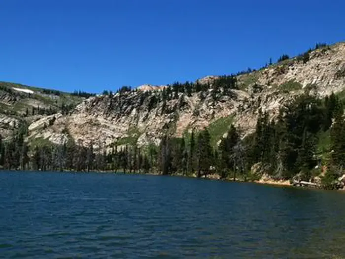 Lake Cleveland - East SideCampingPhoto: Recreation.gov (RIDB) / public domain8.5 mi
Source: Roamze catalog (indexable pages within 10 miles, PostGIS distance)
 Comp wall TrailHiking · ~16 min drivePhoto: Seth Tisue, CC BY-SA 2.0 (via Flickr)
 Backyard Boulders Return RouteHiking · ~17 min drivePhoto: Seth Tisue, CC BY-SA 2.0 (via Flickr)
 Castle Rocks TrailHiking · ~17 min drivePhoto: Seth Tisue, CC BY-SA 2.0 (via Flickr)Bracksiek`s Pillar TrailHiking · ~16 min drivePhoto: Seth Tisue, CC BY-SA 2.0 (via Flickr)Backyard Boulders TrailheadHiking · ~17 min drivePhoto: Seth Tisue, CC BY-SA 2.0 (via Flickr)
 Indian GroveHiking · ~18 min drivePhoto: AndreyZharkikh, CC BY 2.0 (via Flickr)
Also worth it near here
 Cache PeakSummit · ~12 min drivePhoto: NPS employees, Public domain (via Wikimedia Commons)
 Chamber of Secrets - CLOSED TO CLIMBING!!Rock climbing · ~16 min drivePhoto: Seth Tisue, CC BY-SA 2.0 (via Flickr)
