Cherry Creek to Chicken Creek
- 3.0 mi
- round trip
- 1,951 ft
- climb
- 7,204 ft
- high point
- Out and back
- route
Is CHERRY CREEK TO CHICKEN CREEK open right now?
No closures listed
The Forest Service lists no closures for Caribou-Targhee National Forest.
As of · Source: USFS · Caribou-Targhee National Forest. Agencies don't list every closure — check before you go.
Cherry Creek to Chicken Creek is a 3-mile moderate hike in Idaho's Caribou-Targhee National Forest, within the Westside Ranger District. The Forest Service manages the land, and the route is an out-and-back that climbs from about 5,800 feet to roughly 7,200 feet, with a total gain of about 1,950 feet over the course of the 6-mile round trip. The steepest stretch comes at about 2.9 miles, where the grade reaches 20 percent. That makes the climb a steady challenge, and the high point at 7,200 feet gives a good reason to plan for a full day on the trail. Several other hikes sit within a few miles, including New Canyon at 2.2 miles and Swan Flat Point at 2.3 miles. For an overnight stay, Malad Summit Campground is about 8 miles away.
- NEW CANYONHiking2.2 mi
- Swan Flat PointHiking2.3 mi
- Gooseberry to Oxford PeakHiking2.3 mi
- ASPEN HOLLOW TO CHICKEN CREEKHiking2.5 mi
- Malad Summit Guard StationCamping7.4 mi
- Third Creek Group SiteCamping7.9 mi
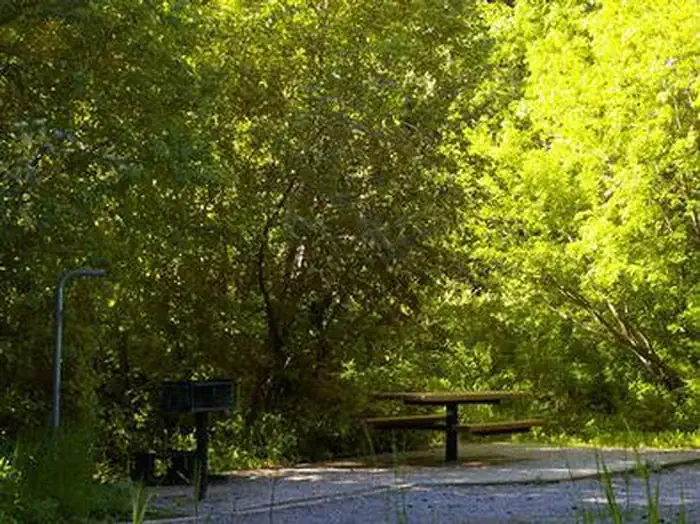 Malad Summit CampgroundCampingPhoto: Recreation.gov (RIDB) / public domain7.9 mi
- Third Creek Group AreaCamping7.9 mi
Source: Roamze catalog (indexable pages within 10 miles, PostGIS distance)
 Cherry Creek-Curly JackHiking · ~6 min drivePhoto: makhtuz, CC BY 3.0 (via Wikimedia Commons)
- NEW CANYONHiking · ~4 min drive
- Gooseberry to Oxford PeakHiking · ~4 min drive
- WRIGHT CREEK NAT. RECREATION THiking · ~13 min drive
- ASPEN HOLLOW TO CHICKEN CREEKHiking · ~4 min drive
- Swan Flat PointHiking · ~4 min drive
- PINE CORRAL TO OXFORD PEAKHiking · ~8 min drive
- OXFORD RIDGEHiking · ~5 min drive
- Campbell CreekHiking · ~4 min drive
- South Oxford PeakHiking · ~9 min drive
