Casey Mountain Trail
- 9.0 mi
- round trip
- 6,663 ft
- climb
- 7,913 ft
- high point
- Out and back
- route
Caution at last check
Agency alerts are in effect for this area; weather is marginal · USFS, OpenWeather · checked 17 h ago
Is Casey Mountain Trail open right now?
Closure in the area
There's a closure order in Wallowa-Whitman National Forest. It doesn't name Casey Mountain Trail, so check the source for the area it covers.
Anthony Fire Area Closure
Agency closure covering Wallowa-Whitman National Forest · USFS · Wallowa-Whitman National Forest
PHASE B FIRE RESTRICTIONS WALLOW-WHITMAN NATIONAL FOREST
Agency alert covering Wallowa-Whitman National Forest · Order 06-16-00-25-01 · USFS · Wallowa-Whitman National Forest
PHASE A FIRE RESTRICTIONS Wallowa-Whitman NATIONAL FOREST
Agency alert covering Wallowa-Whitman National Forest · Order 06-16-00-25-00 · USFS · Wallowa-Whitman National Forest
As of · Source: USFS · Wallowa-Whitman National Forest. Agencies don't list every closure — check before you go.
Casey Mountain Trail is a 18-mile out-and-back hike in Idaho's Hells Canyon Wilderness, part of the Hells Canyon National Recreation Area within the Wallowa-Whitman National Forest. The Forest Service manages the land, and the route starts at about 7,410 feet, rising steadily to a high point of 7,913 feet. The total climb is 6,663 feet, and the trail is rated expert. The trip takes about 9.5 hours. The route is long and steep, with a steady climb that makes it a serious commitment. Plan for a full day, and expect to spend the night in the area if you want to break the hike into two days. Nearby, the Debs Corral Trail and the Black Lake-Horse Heaven Trail are both within about 3 miles. Black Lake Campground is about 4 miles away, and the Hells Canyon climbing area is about 9 miles off.
Local outfitters
- Oregon Backcountry Outfitting31 mi away
- Cornucopia Lodge & Packstation35 mi away
Not on Roamze yet. Their page has how to reach them.
- Debs Corral TrailHiking2.2 mi
- Granite CreekCanoeing2.6 mi
- Black Lake-Horse Heaven TrailHiking2.7 mi
- Oxbow CreekHiking2.9 mi
- Deep CreekCanoeing3 mi
- Black Lake CampgroundCamping4 mi
- Eagle BarCamping4.8 mi
 Hells CanyonRock climbingPhoto: lamblukas, CC BY 2.0 (via Flickr)9.3 mi
Source: Roamze catalog (indexable pages within 10 miles, PostGIS distance)
 Snake River National Recreation TrailHiking · ~7 min drivePhoto: U.S. Forest Service- Pacific Northwest Region, Public domain (via Wikimedia Commons)
 Haley Ridge TrailHiking · ~7 min drivePhoto: U.S. Forest Service- Pacific Northwest Region, Public domain (via Wikimedia Commons)
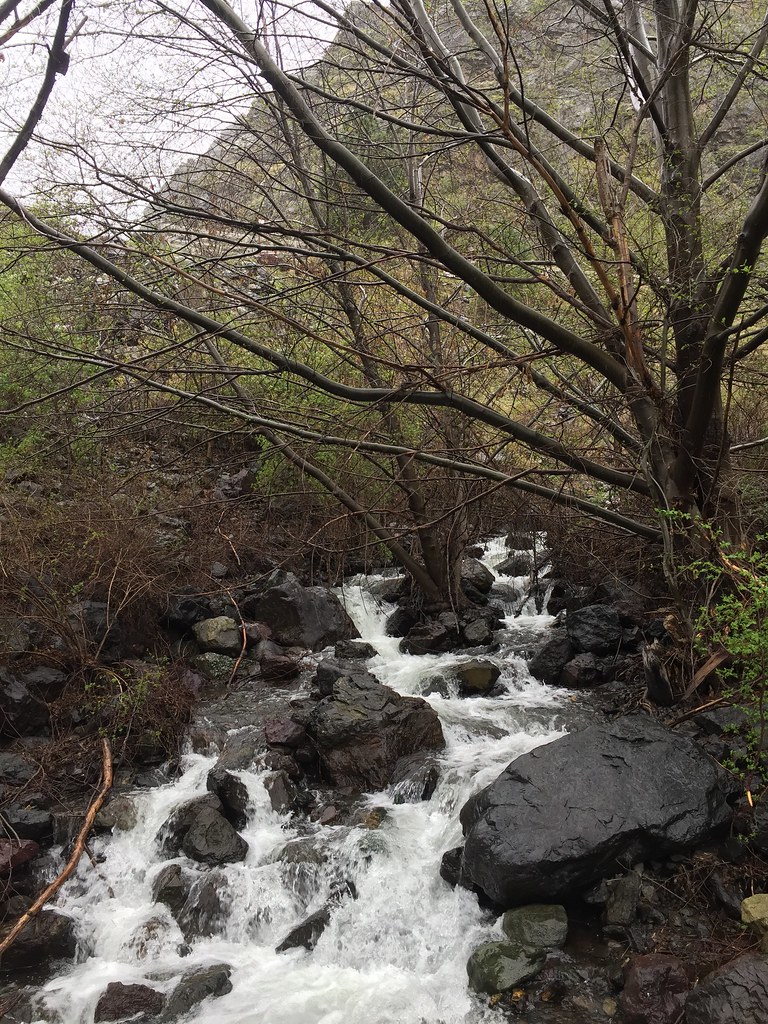 Stud Creek TrailHiking · ~7 min drivePhoto: Forest Service Pacific Northwest Region, Public Domain Mark (via Flickr)
- Ruth Lake TrailHiking · ~5 min drive
- Deep CreekHiking · ~8 min drivePhoto: U.S. Forest Service- Pacific Northwest Region, Public domain (via Wikimedia Commons)
- Black Lake-Horse Heaven TrailHiking · ~5 min drive
- Debs Corral TrailHiking · ~4 min drive
- Sheep RockHiking · ~7 min drive
- Oxbow CreekHiking · ~5 min drive
- Trail CreekHiking · ~5 min drive
Map and trail data © OpenStreetMap contributors
