Carey Creek
- 6.6 mi
- round trip
- 6,049 ft
- climb
- 6,515 ft
- high point
- Out and back
- route
- Jun–Aug
- best months
Carey Creek is a Bureau of Land Management hike on the Cottonwood Field Office in Idaho, about 6.6 miles from the nearest town. It is a long, steep out-and-back route, and it is rated expert. The climb is back-loaded, with the high point at 6,515 feet. The route starts near 6,513 feet, and the total gain and loss are each about 6,049 feet over a round trip of about 13 miles. The steepest stretch comes at about 2.5 miles, with a grade of about 35 percent. That makes it a serious challenge for anyone planning a full-day outing. Summer is the most comfortable time to go. Typical averages from a nearby weather station in a nearby town show July and August are the warmest months, with typical highs around 79°F, while winter highs stay in the low to mid 30s. Nearby options include Moores Trail about 3.4 miles away and Hanover Mountain Trail at 4.3 miles. Lookout Butte Lookout, about 5.2 miles off, offers camping, and paddlers can head to the Wind River, roughly 6.7 miles away.
Local outfitters
- Black Bear RV Park37 mi away
Not on Roamze yet. Their page has how to reach them.
- Moores TrailHiking3.4 mi
- Hanover Mountain TrailHiking4.3 mi
- Johnson Saddle TrailHiking4.5 mi
- MARSHAL MOUNTAIN SPURHiking4.9 mi
- HANOVER MOUNTAINHiking5 mi
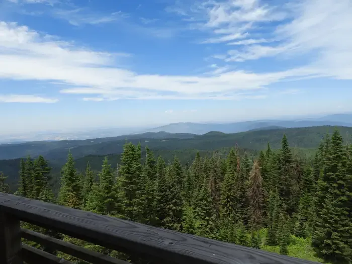 Lookout Butte LookoutCampingPhoto: Recreation.gov (RIDB) / public domain5.2 mi
- Wind RiverCanoeing6.7 mi
- JeanetteCamping9.5 mi
Source: Roamze catalog (indexable pages within 10 miles, PostGIS distance)
 Kelly Mountain TrailHiking · ~17 min drivePhoto: Benutzer:Islandius, Public domain (via Wikimedia Commons)
- KELLY MOUNTAINHiking · ~18 min drivePhoto: Benutzer:Islandius, Public domain (via Wikimedia Commons)
- Hanover Mountain TrailHiking · ~7 min drive
- MARSHAL MOUNTAIN SPURHiking · ~8 min drive
- WILLOW CREEKHiking · ~9 min drive
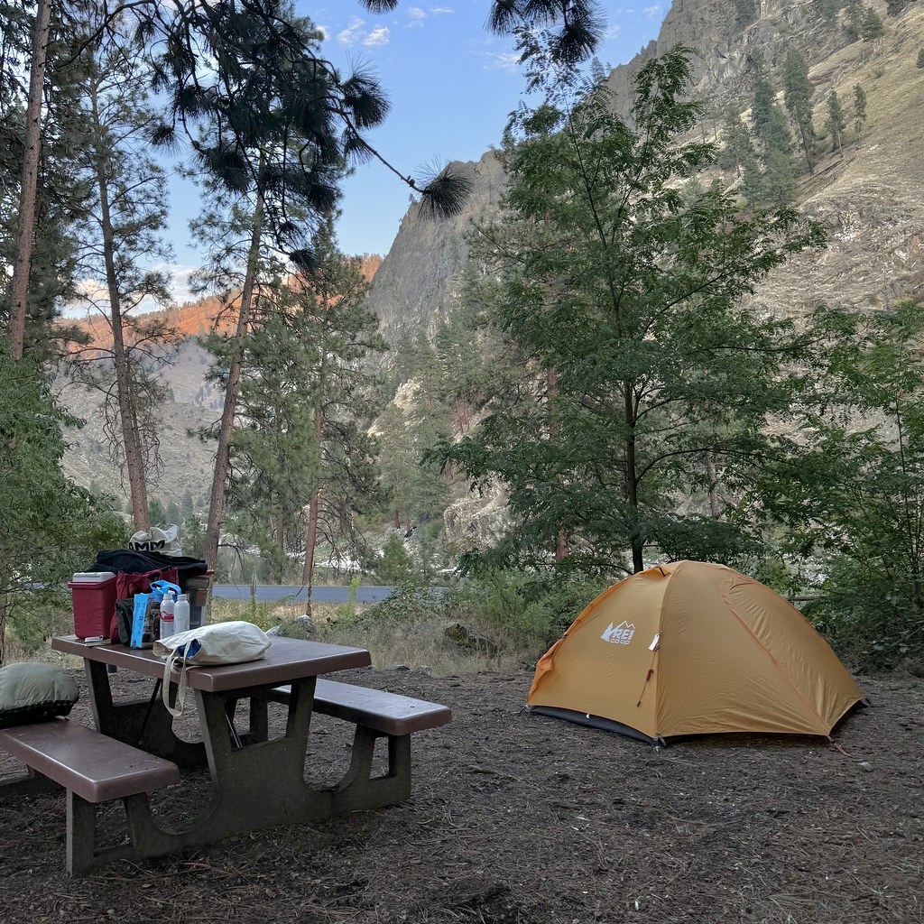 Van Ridge TrailHiking · ~20 min drivePhoto: Seth Tisue, CC BY-SA 2.0 (via Flickr)
- BEAR PETE RIDGEHiking · ~9 min drive
- Black Bute Lookout TrailHiking · ~9 min drive
- Johnson Saddle Stock TrailHiking · ~11 min drive
- VAN RIDGEHiking · ~20 min drivePhoto: Seth Tisue, CC BY-SA 2.0 (via Flickr)
Best time to visit CAREY CREEK
Best months: June–August. Best months have typical highs of 55–85 °F, lows of 30 °F or warmer (32 °F where the station doesn't record snow), at most one snowy day and no more than 12 wet days.
Jan
35° / 7°
Feb
41° / 7°
Mar
46° / 17°
Apr
50° / 20°
May
59° / 27°
Jun
68° / 34°
Jul
79° / 37°
Aug
79° / 35°
Sep
69° / 30°
Oct
56° / 23°
Nov
41° / 16°
Dec
34° / 9°
Typical high / low (°F) and days with rain or snow, 1991–2020. Measured at Warren, ID, 15 mi away at 5,907 ft. The station sits about 600 ft lower than this place, so expect it a little cooler here. This station doesn't record snowfall. Source: NOAA NCEI U.S. Climate Normals 1991–2020.
