Hanover Mountain
- 8.9 mi
- round trip
- 6,488 ft
- climb
- 7,988 ft
- high point
- Out and back
- route
Caution at last check
Agency alerts are in effect for this area; weather is marginal · USFS, OpenWeather · checked 15 h ago
Is HANOVER MOUNTAIN open right now?
Closure in the area
There's a closure order in Nez Perce-Clearwater National Forest. It doesn't name HANOVER MOUNTAIN, so check the source for the area it covers.
Updated 250 Road Closure
Agency closure covering Nez Perce-Clearwater National Forest · USFS · Nez Perce-Clearwater National Forest
Grangeville Salmon Road Closure Extension
Agency alert covering Salmon River Ranger District · Order 01-17-01-26-004 · USFS · Salmon River Ranger District
Laird Park Water Unavailable For 2026 Season
Agency alert covering Nez Perce-Clearwater National Forest · USFS · Nez Perce-Clearwater National Forest
As of · Source: USFS · Nez Perce-Clearwater National Forest. Agencies don't list every closure — check before you go.
Hanover Mountain is an out-and-back hike in Idaho's Gospel-Hump Wilderness, part of the Salmon River Ranger District of the Nez Perce-Clearwater National Forest. The trail starts at about 3,350 feet and climbs to a high point of 7,988 feet, with a total gain of 6,488 feet over a round trip of about 18 miles. The route is rated expert, and the nearest town is Turner, about 2 miles away. The climb is rolling, and the route is long and steep. Plan for about nine hours on foot, and expect to gain and lose roughly 6,500 feet over the course of the day. The Hanover Mountain Trail lies about a mile from the summit, and Moores Trail is about 1.3 miles away. Paddlers can reach the Wind River about 2 miles off, and Lookout Butte Lookout offers camping about 2.2 miles away.
Local outfitters
- Black Bear RV Park42 mi away
Not on Roamze yet. Their page has how to reach them.
- Hanover Mountain TrailHiking0.9 mi
- Moores TrailHiking1.3 mi
- Wind RiverCanoeing2 mi
- Johnson Saddle TrailHiking2.1 mi
- Lovell Gulch TrailHiking2.1 mi
- Black Bute Lookout TrailHiking2.2 mi
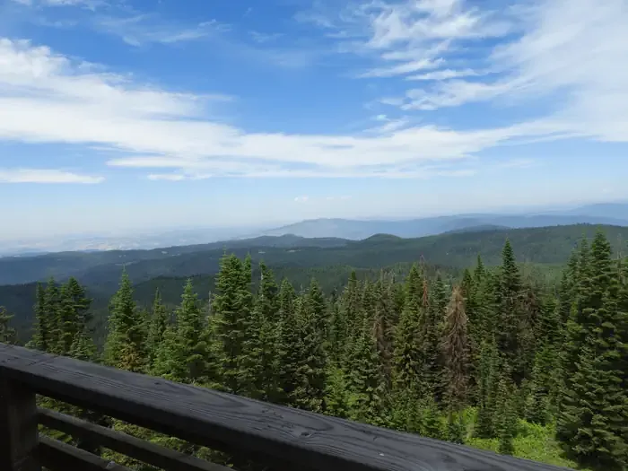 Lookout Butte LookoutCampingPhoto: Recreation.gov (RIDB) / public domain2.2 mi
- Little Slate CreekCanoeing9.1 mi
Source: Roamze catalog (indexable pages within 10 miles, PostGIS distance)
 Kelly Mountain TrailHiking · ~18 min drivePhoto: Benutzer:Islandius, Public domain (via Wikimedia Commons)
- KELLY MOUNTAINHiking · ~18 min drivePhoto: Benutzer:Islandius, Public domain (via Wikimedia Commons)
- Hanover Mountain TrailHiking · ~2 min drive
- Black Bute Lookout TrailHiking · ~4 min drive
- Johnson Saddle Stock TrailHiking · ~9 min drive
- Lovell Gulch TrailHiking · ~4 min drive
- Johnson Saddle CutoffHiking · ~7 min drive
- SHEEP MOUNTAIN CONNECTIONHiking · ~12 min drive
- JACKSON RIDGEHiking · ~11 min drive
- Florence-Moores TrailHiking · ~7 min drive
