City of Rocks Campsites
Campground
Campground · 1.0 mi from the trail
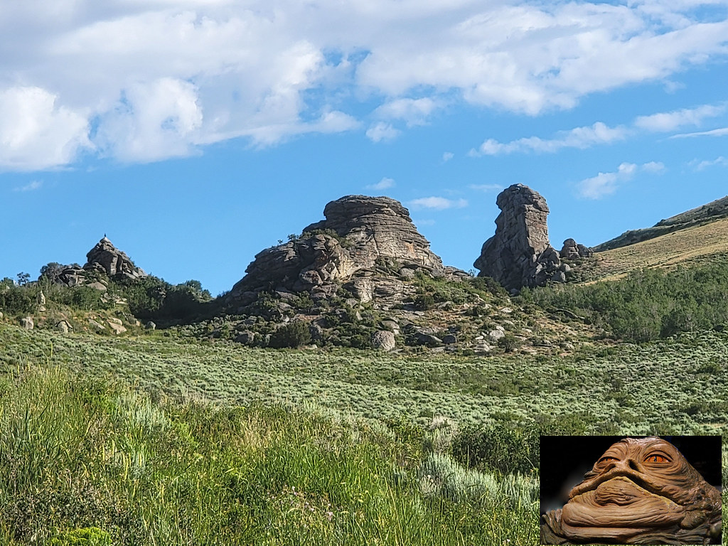
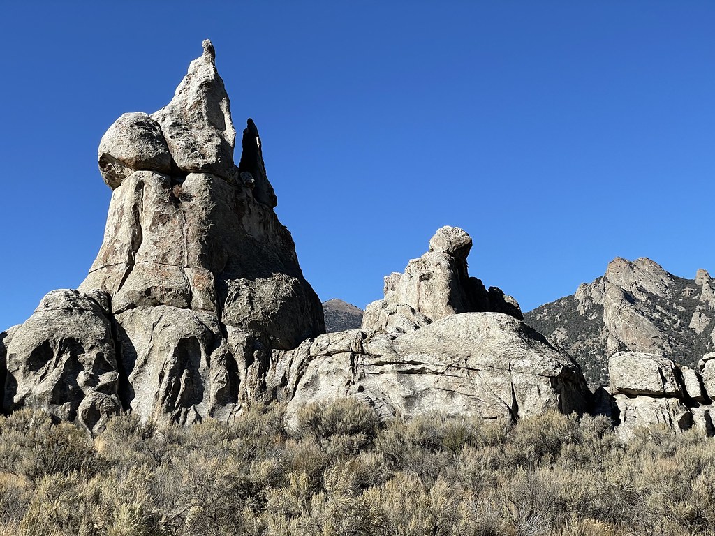 Photo: Seth Tisue, CC BY-SA 2.0 (via Flickr)
No closures listed
The National Park Service lists no closures for City of Rocks National Reserve.
As of · Source: NPS · City of Rocks National Reserve. Agencies don't list every closure — check before you go.
Camp Rock is a short stop in Idaho's City of Rocks National Reserve, managed by the National Park Service. The nearest town is Almo, about 3.4 miles away. It sits among the boulders of the City of Rocks, where emigrants on the California Trail once rested and left behind hundreds of inscriptions on the rock faces. The California Trail's travelers began leaving their names on the rocks in the 1840s, and those marks still stand. The trail around Camp Rock is about 330 feet long and leads to a wayside exhibit. Hundreds of inscriptions date from 1843 to 1882. Summer is the most comfortable time to visit. Typical averages from a nearby weather station run to highs around 86°F in July and lows near 59°F, while winter highs hover in the mid-30s. Register Rock lies about 0.7 miles away. Climbers can find Spoon Boulder and Ghetto Boulder within a mile, and the Tracey Homestead Trail is about a mile off.
City of Rocks Campsites
Campground
Outpost Steakhouse
Restaurant
Oakley Valley Historical Museum
Museum
Places © OpenStreetMap contributors
More in OakleyNot on Roamze yet. Their page has how to reach them.
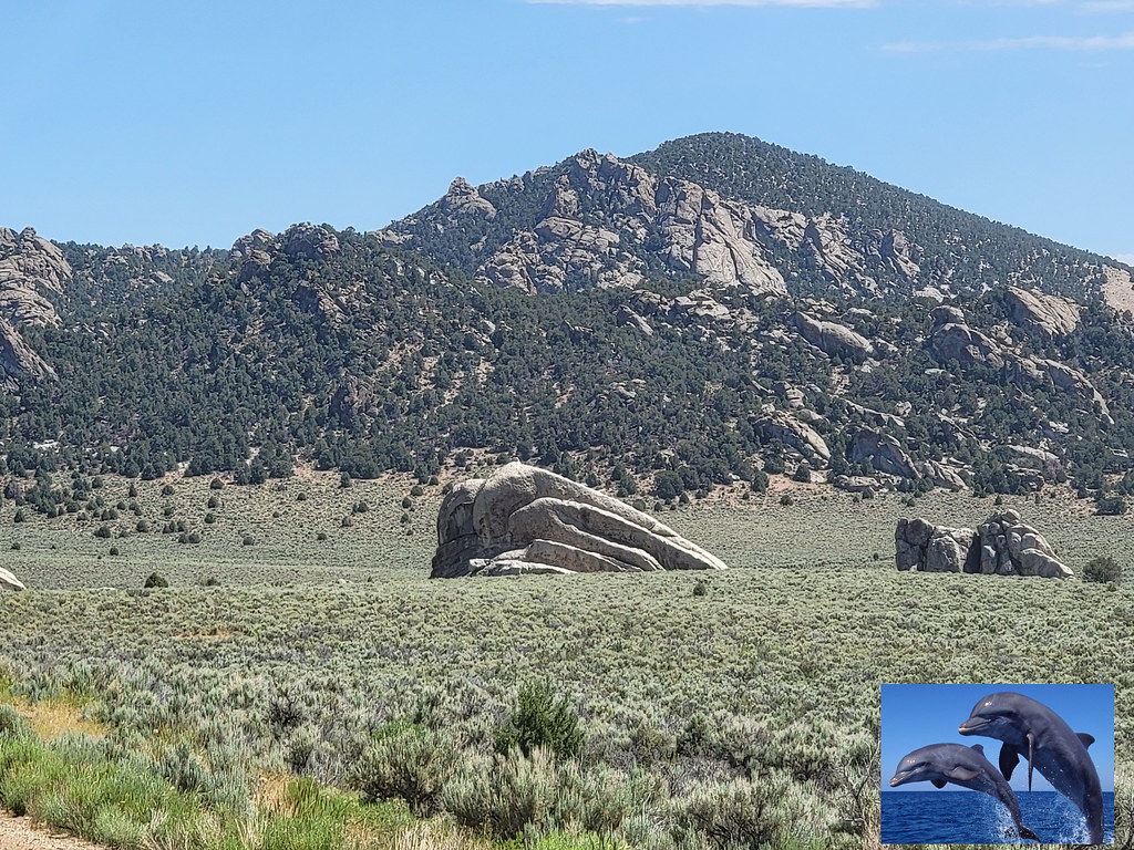 Register RockHikingPhoto: AndreyZharkikh, CC BY 2.0 (via Flickr)0.7 mi
 The Spoon BoulderRock climbingPhoto: cifraser1, CC BY 2.0 (via Flickr)0.8 mi
 Ghetto BoulderRock climbingPhoto: AndreyZharkikh, CC BY 2.0 (via Flickr)0.8 miElectric AvenueRock climbingPhoto: AndreyZharkikh, CC BY 2.0 (via Flickr)0.8 mi
 Tracey Homestead TrailHikingPhoto: RuggyBearLA, CC BY 2.0 (via Flickr)1 mi
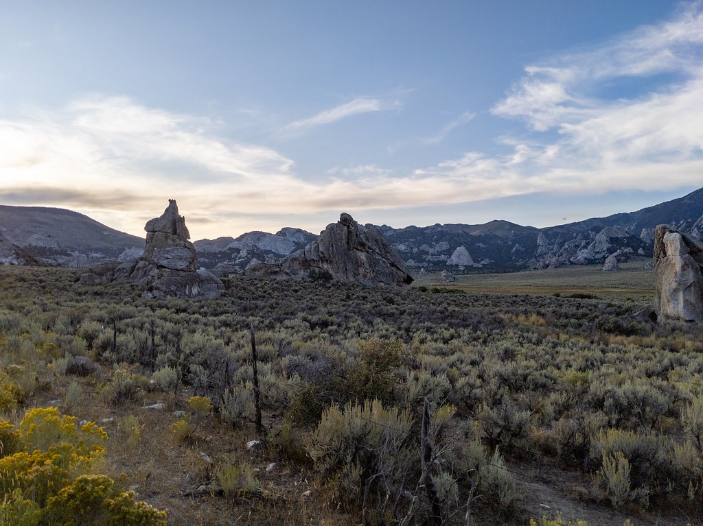 Geological TrailHikingPhoto: RuggyBearLA, CC BY 2.0 (via Flickr)1 miGeo Watt TrailHikingPhoto: RuggyBearLA, CC BY 2.0 (via Flickr)1.1 mi
Source: Roamze catalog (indexable pages within 10 miles, PostGIS distance)
Circle Creek Canyon TrailHiking · Next doorPhoto: RuggyBearLA, CC BY 2.0 (via Flickr)Register RockHiking · ~1 min drivePhoto: AndreyZharkikh, CC BY 2.0 (via Flickr)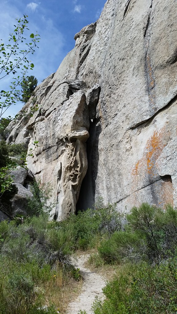 Beef Jello TrailHiking · ~3 min drivePhoto: cifraser1, CC BY 2.0 (via Flickr)Smoky Mountain ConnectorHiking · ~2 min drivePhoto: RuggyBearLA, CC BY 2.0 (via Flickr)
 Box Top Trailhead Rest AreaHiking · ~2 min drivePhoto: reverendlukewarm, CC BY-SA 2.0 (via Flickr)
 Indian GroveHiking · ~5 min drivePhoto: AndreyZharkikh, CC BY 2.0 (via Flickr)Tracey Homestead TrailHiking · ~2 min drivePhoto: RuggyBearLA, CC BY 2.0 (via Flickr)
 Castle Rocks TrailHiking · ~7 min drivePhoto: Seth Tisue, CC BY-SA 2.0 (via Flickr)Retracement TrailHiking · ~2 min drivePhoto: AndreyZharkikh, CC BY 2.0 (via Flickr)
Best months: April–June and August–October. Best months have typical highs of 55–85 °F, lows of 30 °F or warmer (32 °F where the station doesn't record snow), at most one snowy day and no more than 12 wet days.
Jan
35° / 16°
8 wet
Feb
39° / 19°
7 wet
Mar
48° / 27°
6 wet
Apr
55° / 33°
7 wet
May
65° / 41°
9 wet
Jun
75° / 50°
6 wet
Jul
86° / 59°
5 wet
Aug
85° / 57°
6 wet
Sep
74° / 48°
5 wet
Oct
60° / 35°
5 wet
Nov
45° / 24°
6 wet
Dec
35° / 17°
8 wet
Typical high / low (°F) and days with rain or snow, 1991–2020. Measured at Rosette, UT, 22.7 mi away at 5,685 ft. This station doesn't record snowfall. Source: NOAA NCEI U.S. Climate Normals 1991–2020.

