
Village of Trees RV Resort
Hiking business nearby (~35 mi away) — hasn't claimed their Roamze page yet
4.76-mile out-and-back hike in Idaho with 430 ft elevation gain.
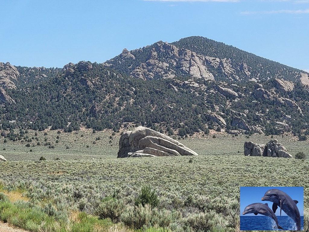 Photo: AndreyZharkikh, CC BY 2.0 (via Flickr)
No closures listed
The National Park Service lists no closures for City of Rocks National Reserve.
As of · Source: NPS · City of Rocks National Reserve. Agencies don't list every closure — check before you go.
Best months: April–June and September–October. Best months have typical highs of 55–85 °F, lows of 30 °F or warmer (32 °F where the station doesn't record snow), at most one snowy day and no more than 12 wet days.
Jan
40° / 21°
6 wet
Feb
44° / 24°
6 wet
Mar
54° / 30°
7 wet
Apr
60° / 34°
8 wet
May
69° / 41°
9 wet
Jun
78° / 48°
6 wet
Jul
86° / 57°
4 wet
Aug
86° / 56°
4 wet
Sep
77° / 47°
4 wet
Oct
64° / 37°
5 wet
Nov
49° / 28°
6 wet
Dec
39° / 21°
6 wet
Typical high / low (°F) and days with rain or snow, 1991–2020. Measured at Oakley, ID, 15 mi away at 4,559 ft. We don't have this place's elevation, so higher spots nearby can run cooler. This station doesn't record snowfall. Source: NOAA NCEI U.S. Climate Normals 1991–2020.
Retracement Trail is a 4.76-mile out-and-back hike in Idaho with 430 feet of elevation gain. The trail follows a straightforward out-and-back route.
 Photo: reverendlukewarm, CC BY-SA 2.0 (via Flickr)
Box Top Trailhead Rest Area
~0 min drive
This rest area is located between campsite 12 and 13, close to the trail-head for Box Top Trail.
Photo: reverendlukewarm, CC BY-SA 2.0 (via Flickr)Flaming Rock Trail
~1 min drive
1.2-mile out-and-back trail in Idaho with 355 ft elevation gain and loss.
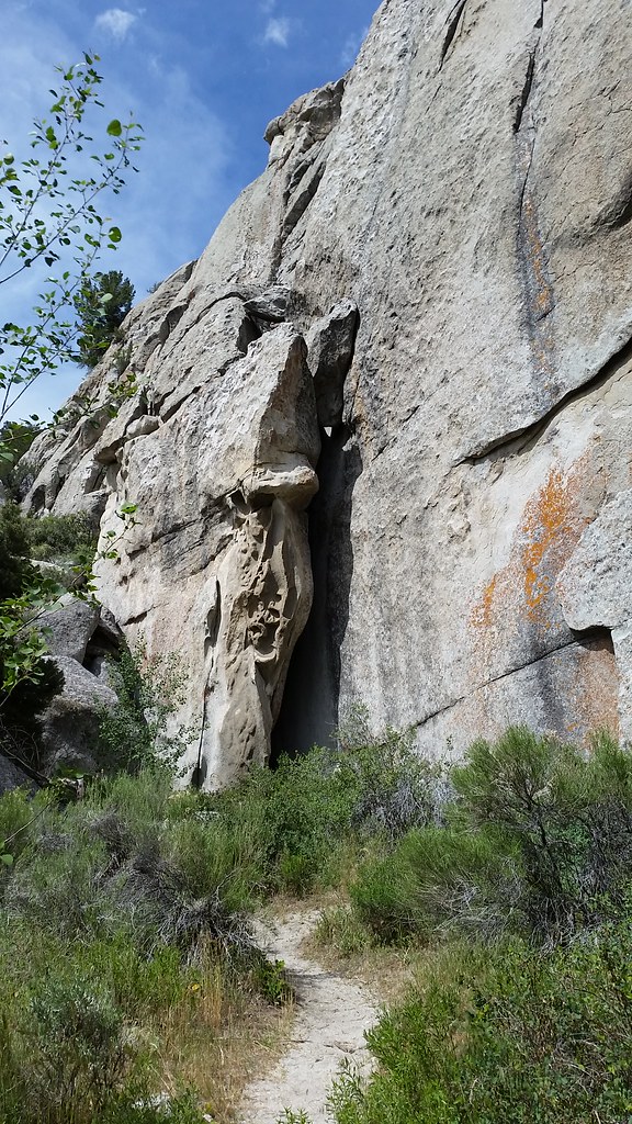 Photo: cifraser1, CC BY 2.0 (via Flickr)
Beef Jello Trail
~3 min drive
1.7-mile out-and-back trail in Idaho with 857 ft elevation gain.
Flaming Rock Trailhead Rest Area
~1 min drive
Vault toilet located near Flaming Rock Trail-Head.
 Photo: Bold Frontiers, CC BY 2.0 (via Flickr)
Bumblie Wall Trail
~1 min drive
1.64-mile out-and-back trail in Idaho with 595 ft gain/loss.
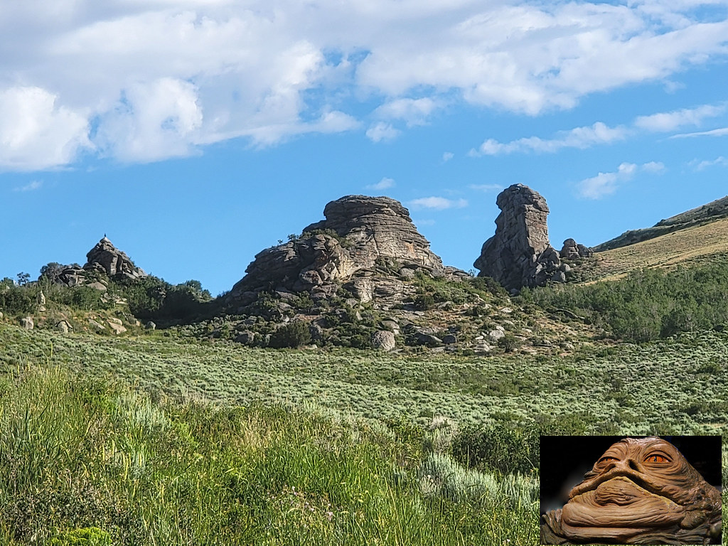 Photo: AndreyZharkikh, CC BY 2.0 (via Flickr)
Indian Grove
~4 min drive
Indian Grove is a 5.78-mile out-and-back trail in Idaho with 1,123 ft of elevation gain.
Photo: AndreyZharkikh, CC BY 2.0 (via Flickr)Register Rock
~1 min drive
Register Rock conveys many shapes, depending on the viewing angle. Many see a sleeping camel, others see a turtle or the profile of Andy Gump. Take a moment to check out the wayside exhibit and view the signatures written in axle grease. Emigrants, like A. Freeman and D. Tick…
Photo: Bold Frontiers, CC BY 2.0 (via Flickr)Bath Rock Trail
~1 min drive
0.31-mile loop with 66 ft gain in Idaho
 Photo: Seth Tisue, CC BY-SA 2.0 (via Flickr)
Castle Rocks Trail
~8 min drive
8.68-mile out-and-back trail in Idaho with 894 ft of elevation gain.
Window Arch Trail - 250 feet
~1 min drive
Located behind campsite 37, this short walk leads to the impressive Window Arch which spans over 20 feet. Windows, bathtubs, and caves sculpted by forces of erosion, are featured here along with spectacular views of the “Inner City”.
Outfitters and businesses. They haven’t set up their Roamze page yet.
Village of Trees RV Resort
Hiking business nearby (~35 mi away) — hasn't claimed their Roamze page yet
