Deer Park Cabin
Campground
Campground · 3.3 mi from the trail
Closure in the area
There's a closure order in Boise National Forest. It doesn't name Bear River, so check the source for the area it covers.
UPDATED Sept. 19 - Crooked Fire Area, Road, and Trail Closure
Agency closure covering Boise National Forest · Order 0402-03-140 · USFS · Boise National Forest
Lava Fire Road Closure
Agency alert covering Boise National Forest · Order 0402-06-84 · USFS · Boise National Forest
As of · Source: USFS · Boise National Forest. Agencies don't list every closure — check before you go.
Bear River is a hard hike of about 17.5 miles in the Idaho City Ranger District of Boise National Forest in Idaho. The trail is managed by the Forest Service, and the route is out and back, climbing from a low of about 5,000 feet to a high of about 8,100 feet. Summer is the most comfortable time to go. Typical averages from a nearby weather station show July and August highs around 80°F with lows in the upper 30s and only five or six wet days a month, while winter highs there hover near freezing. The trail is on natural surface, and it is open to both horses and bikes. Deer Park Cabin is about 3.3 miles away, and Jennie Lake and Bear Summit are both within about 3 miles. Crooked River, a canoeing spot, is about 5 miles off.
Deer Park Cabin
Campground
Diamond Lil's Restaurant & Saloon
Restaurant
 If it rainsj.a.woodhouse from United States, CC BY 2.0 · Wikimedia Commons
Places © OpenStreetMap contributors · Photos: j.a.woodhouse from United States, CC BY 2.0 (commons)
More in Idaho CityNot on Roamze yet. Their page has how to reach them.
Best months: June–August. Best months have typical highs of 55–85 °F, lows of 30 °F or warmer (32 °F where the station doesn't record snow), at most one snowy day and no more than 12 wet days.
Jan
29° / 4°
12 wet
Feb
35° / 7°
12 wet
Mar
42° / 14°
14 wet
Apr
49° / 21°
12 wet
May
60° / 30°
12 wet
Jun
69° / 35°
10 wet
Jul
80° / 39°
6 wet
Aug
80° / 37°
5 wet
Sep
70° / 31°
7 wet
Oct
55° / 24°
9 wet
Nov
39° / 14°
12 wet
Dec
28° / 6°
14 wet
Typical high / low (°F) and days with rain or snow, 1991–2020. Measured at Stanley Rs, ID, 28.2 mi away at 6,495 ft. The station sits about 1,600 ft lower than this place, so expect it a little cooler here. This station doesn't record snowfall. Source: NOAA NCEI U.S. Climate Normals 1991–2020.
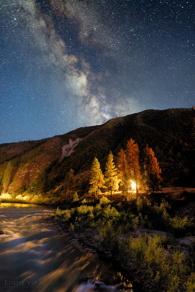 Photo: Eddie Yip, CC BY-SA 2.0 (via Flickr)
KIRKHAM RIDGE
~16 min drive
3.16-mile out-and-back trail in Idaho with 2,063 ft elevation gain and loss.
HIKE
BEAR SUMMIT
~4 min drive
19.52-mile out-and-back trail in Idaho with 4,374 ft gain and 6,040 ft max elevation.
HIKE
BEAR SUMMIT WEST
~7 min drive
3.04-mile out-and-back trail in Idaho with 587 ft elevation gain.
HIKE
Willow Owl
~8 min drive
Willow Owl is a 12.04-mile out-and-back trail in Idaho with 395 feet of elevation gain.
HIKE
Jennie Lake
~4 min drive
8.71-mile out-and-back trail to Jennie Lake in Idaho with 1,885 ft of elevation gain.
HIKE
CROOKED PIKE LOOP
~8 min drive
18.52-mile out-and-back trail in Idaho with 3,172 ft gain/loss
HIKE
WILLOW CREEK OVERLOOK
~8 min drive
3.16-mile out-and-back trail at 6,115 ft elevation in Idaho
HIKE
Lodgepole Trail
~11 min drive
6.26-mile out-and-back hike in Idaho with 3,432 ft gain and loss.
HIKE
ARCHIE MOUNTAIN VIEW
~6 min drive
1.46-mile out-and-back trail in Idaho with 920 ft elevation gain and 6,545 ft max elevation.
HIKE
West Warrior Trail
~10 min drive
17.18-mile out-and-back trail in Idaho with 7,073 ft elevation gain/loss.
