Stone Mountain
 Photo: KyleAndMelissa22, Public domain (via Wikimedia Commons)
- 1,683 ft
- summit
- 1
- way up
- Feb–May, Sep–Nov
- best months
Stone Mountain is a summit in Georgia, rising to 1,683 feet about 1.5 miles from the town of Stone Mountain. It sits within a cluster of short trails, so it works well as a destination for a walk or a series of linked hikes. Spring and fall are the most comfortable times to visit. Typical averages from a nearby weather station in Atlanta show October highs around 73°F with lows near 51°F, and April is similar at about 73°F by day and 49°F at night. That station sits roughly 680 feet lower than the summit, so temperatures on top run cooler. Several trails start close by. The Cherokee Trail is about 0.3 miles away, the Nature Garden Trail about 0.6 miles, and the Songbird Trail (Loop) and King's Trail are each about 0.8 miles off. For time on the water, Sweetwater Creek is about 9 miles away.
Conditions and forecast
Daily highs and lows, wind and the chance of precipitation at the summit and route start for the next 7 days, from the Open-Meteo model.
- Summit elevation
- 1,683 ft
Elevation from USGS 3D Elevation Program terrain data (about 10 m resolution).
Map © Mapbox © OpenStreetMap contributors Questions about Stone Mountain
How tall is Stone Mountain?
1,683 ft (513 m).
How many routes go to the summit of Stone Mountain?
One: Walk-Up Trail.
- Arabia Mountain953 ft · Georgia1 route9.8 mi away
- Cheatham Hill1,134 ft · Georgia1 route27 mi away
 Kennesaw Mountain1,803 ft · Georgia1 route28 mi awayPhoto: Thomson200, CC0 (via Wikimedia Commons)
 Little Kennesaw Mountain1,622 ft · Georgia2 routes28 mi awayPhoto: Thomson200, CC0 (via Wikimedia Commons)
- Pigeon Hill1,255 ft · Georgia2 routes28 mi away
- Red Top Mountain1,067 ft · Georgia1 route40 mi away
- Cherokee TrailHiking0.3 mi
- Nature Garden TrailHiking0.6 mi
- Connecting TrailHiking0.7 mi
- Songbird Trail (Loop)Hiking0.8 mi
- Songbird TrailHiking0.8 mi
- King's TrailHiking0.8 mi
- Hawk TrailHiking0.9 mi
- Sweetwater CreekCanoeing9.2 mi
Source: Roamze catalog (indexable pages within 10 miles, PostGIS distance)
 Blackjack MountainSummit · ~40 min drivePhoto: Thomson200, CC0 (via Wikimedia Commons)
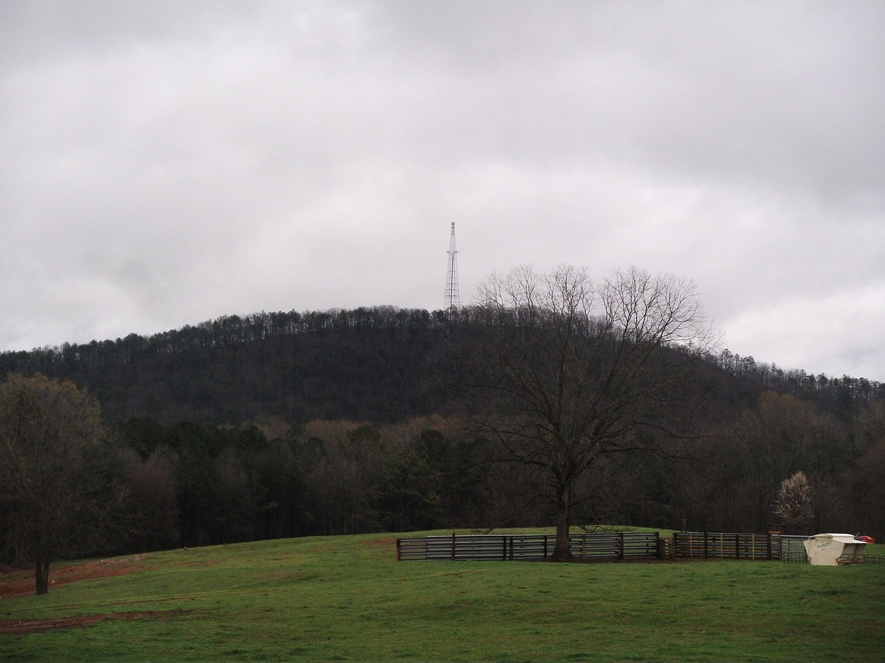 Alcovy MountainSummit · ~40 min drivePhoto: Ncsr11, CC BY-SA 3.0 (via Wikimedia Commons)
- Kennesaw MountainSummit · ~47 min drivePhoto: Thomson200, CC0 (via Wikimedia Commons)
- Little Kennesaw MountainSummit · ~48 min drivePhoto: Thomson200, CC0 (via Wikimedia Commons)
 Lost MountainSummit · ~57 min drivePhoto: John Phelan, CC BY 4.0 (via Wikimedia Commons)
 Vineyard MountainSummit · ~1h 11m drivePhoto: Thomson200, CC0 (via Wikimedia Commons)
 Pine MountainSummit · ~1h 13m drivePhoto: Thomson200, CC0 (via Wikimedia Commons)
 Bear MountainSummit · ~1h 18m drivePhoto: Thomson200, CC0 (via Wikimedia Commons)
 Pine Log MountainSummit · ~1h 18m drivePhoto: Thomson200, CC0 (via Wikimedia Commons)
 Quarry MountainSummit · ~1h 19m drivePhoto: Thomson200, CC0 (via Wikimedia Commons)
Best time to visit Stone Mountain
Best months: February–May and September–November. Best months have typical highs of 55–85 °F, lows of 30 °F or warmer (32 °F where the station doesn't record snow), at most one snowy day and no more than 12 wet days.
Jan
52° / 33°
11 wet
Feb
56° / 36°
11 wet
Mar
64° / 42°
11 wet
Apr
73° / 49°
10 wet
May
80° / 59°
11 wet
Jun
86° / 66°
12 wet
Jul
89° / 70°
12 wet
Aug
88° / 69°
11 wet
Sep
83° / 63°
9 wet
Oct
73° / 51°
9 wet
Nov
63° / 41°
9 wet
Dec
54° / 36°
11 wet
Typical high / low (°F) and days with rain or snow, 1991–2020. Measured at Atlanta Peachtree Ap, GA, 10.2 mi away at 1,002 ft. The station sits about 700 ft lower than this place, so expect it a little cooler here. This station doesn't record snowfall. Source: NOAA NCEI U.S. Climate Normals 1991–2020.


