Coopers Creek
- Mar–May, Aug–Nov
- best months
Is Coopers Creek open right now?
Closure in the area
There's a closure order in Chattahoochee-Oconee National Forests. It doesn't name Coopers Creek, so check the source for the area it covers (4 listed).
Bear Creek Road, FS 241, Temporarily Closed
Agency closure covering Chattahoochee-Oconee National Forests · USFS · Chattahoochee-Oconee National Forests
Prescribed fire on Oconee Ranger District at Jasper County
Agency closure covering Chattahoochee-Oconee National Forests · USFS · Chattahoochee-Oconee National Forests
Muskrat Road, FS 218, Temporarily Closed
Agency closure covering Chattahoochee-Oconee National Forests · USFS · Chattahoochee-Oconee National Forests
Flash Flood Awareness
Agency closure covering Chattahoochee-Oconee National Forests · USFS · Chattahoochee-Oconee National Forests
Lake Winfield Scott closed except fishing pier
Agency alert covering Chattahoochee-Oconee National Forests · USFS · Chattahoochee-Oconee National Forests
As of · Source: USFS · Chattahoochee-Oconee National Forests. Agencies don't list every closure — check before you go.
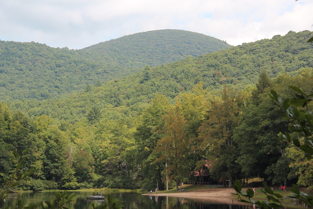
Coopers Creek offers climbing on Georgia's natural rock formations in a scenic creek-side setting. The area provides a mix of climbing experiences suitable for various skill levels, with the surrounding landscape and water access adding to its appeal as a destination crag.
- Nearby · Tesnatee Gap Trail · Hogpen Gap · White Wall
Best time to go · Mar–May, Aug–Nov
Best time to visit Coopers Creek
Best months: March–May and August–November. Best months have typical highs of 55–85 °F, lows of 30 °F or warmer (32 °F where the station doesn't record snow), at most one snowy day and no more than 12 wet days.
Jan
49° / 25°
12 wet
Feb
53° / 28°
12 wet
Mar
60° / 34°
12 wet
Apr
69° / 41°
11 wet
May
76° / 50°
12 wet
Jun
82° / 58°
13 wet
Jul
85° / 62°
13 wet
Aug
84° / 61°
12 wet
Sep
80° / 55°
9 wet
Oct
70° / 43°
10 wet
Nov
61° / 33°
10 wet
Dec
52° / 29°
12 wet
Typical high / low (°F) and days with rain or snow, 1991–2020. Measured at Blairsville Exp Stn, GA, 8.5 mi away at 1,949 ft. The station sits about 1,000 ft lower than this place, so expect it a little cooler here. This station doesn't record snowfall. Source: NOAA NCEI U.S. Climate Normals 1991–2020.
Closures we've recorded since August 2026
Spring 2026 Forest-wide Fire Restrictions
Chattahoochee-Oconee National Forests · Order dated April 23, 2026; seen Aug 23, 2026 → lifted Oct 13, 2026 · Forest Service
Routes
No routes catalogued here yet
We have this crag's location and access details, but not its individual climbs. Routes appear here as our sources add them.
The map shows other climbing nearby, or browse more crags.
Keep exploring — more climbs worth the drive
 Photo: Thomsonmg2000, CC0 (via Wikimedia Commons)
Tesnatee Gap Trail
~14 min drive
Tesnatee Gap Trail in Georgia has 1 bouldering route.
Photo: Thomsonmg2000, CC0 (via Wikimedia Commons)Hogpen Gap
~15 min drive
Georgia climbing at Hogpen Gap with varied routes and scenic mountain setting.
 Photo: Scott Long, CC BY 3.0 (via Wikimedia Commons)
White Wall
~30 min drive
White Wall in Georgia has 10 climbing routes across 9 difficulty grades.
Photo: Scott Long, CC BY 3.0 (via Wikimedia Commons)Mount Yonah
~30 min drive
Mount Yonah in Georgia has 10 climbing routes across 6 grades, offering bouldering and trad options.
Photo: Scott Long, CC BY 3.0 (via Wikimedia Commons)Main Face
~30 min drive
Main Face in Georgia has 39 climbing routes across 12 grades, offering mixed, sport, and trad styles.
 Photo: Chanilim714, CC BY-SA 3.0 (via Wikimedia Commons)
Main Wall
~59 min drive
Main Wall is a climbing crag in Georgia with 33 routes.
Photo: Chanilim714, CC BY-SA 3.0 (via Wikimedia Commons)Tallulah Gorge
~59 min drive
Tallulah Gorge in Georgia has 2 trad climbing routes.
 Photo: Thomson M, CC BY 3.0 (via Wikimedia Commons)
Indian Seats
~59 min drive
Indian Seats in Georgia has 13 climbing routes with 8 difficulty grades, offering top-rope and trad options.
CLIMB
Blood Mountain
~6 min drive
Blood Mountain in Georgia has 3 bouldering routes with 3 difficulty grades.
CLIMB
big cheese
~6 min drive
Big Cheese is a bouldering area in Georgia with 1 route.