Shoulderbone Creek
- 1.1 mi
- distance
- 365 ft
- high point
- Sep–May
- best months
Clear at last check
Weather is good · OpenWeather · checked 13 h ago
Shoulderbone Creek is a 1.1-mile paddling stretch near Sparta, Georgia, about a mile from the town of Shoulderbone. The creek flows year-round, with an average flow of about 61 cubic feet per second and a gradient of about 8.8 feet per mile, according to USGS models. Spring and fall are the most comfortable times to paddle. Typical averages from a nearby weather station show October highs around 75°F with lows near 50°F, and April is similar at about 74°F by day and 48°F at night. That station sits about 330 feet lower than the creek, so temperatures on the water run a little cooler. Lundy Creek, about 3 miles away, offers another paddling option. For time on foot, the Blue Trail and Green Trail are both about 6 miles off, and The Talon Trail is a little farther at about 6.3 miles.
Local outfitters
- Big Dogs On the River46 mi away
Not on Roamze yet. Their page has how to reach them.
- Lundy CreekCanoeing3.1 mi
- Blue TrailHiking5.9 mi
- Green TrailHiking5.9 mi
- The Talon TrailHiking6.3 mi
- Yellow TrailHiking6.3 mi
- Red TrailHiking6.4 mi
- Shortcut TrailHiking6.6 mi
- Model-T TrailHiking6.7 mi
Source: Roamze catalog (indexable pages within 10 miles, PostGIS distance)
 Ogeechee RiverCanoeing · ~25 min drivePhoto: w:Flickr user Karol M, CC BY 2.0 (via Wikimedia Commons)
- Redlands Boat RampBoat launch · ~34 min drive
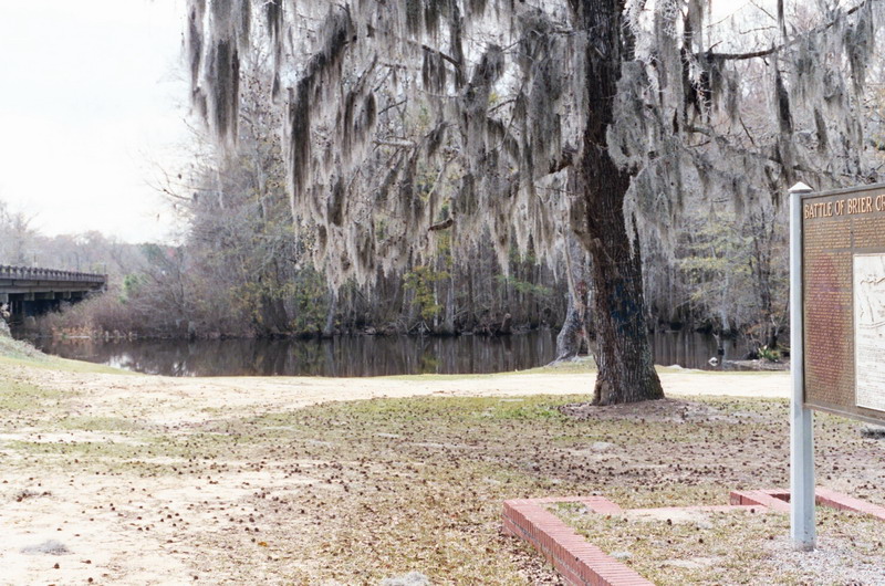 Brier CreekCanoeing · ~1h 3m drivePhoto: Dereddick, Public domain (via Wikimedia Commons)
- Swords Boat Day Use AreaBoat launch · ~34 min drive
- Lundy CreekCanoeing · ~5 min drive
- Abbatoir Boat RampBoat launch · ~39 min drive
- Long CreekCanoeing · ~30 min drive
- Wise Creek Take-outBoat launch · ~1h 15m drive
- Buffalo CreekCanoeing · ~34 min drive
- Cherokee Boat RampBoat launch · ~1h 23m drive
Also worth it near here
Best time to visit Shoulderbone Creek
Best months: September–May. Best months have typical highs of 55–85 °F, lows of 30 °F or warmer (32 °F where the station doesn't record snow), at most one snowy day and no more than 12 wet days.
Jan
55° / 32°
9 wet
Feb
59° / 35°
8 wet
Mar
66° / 41°
9 wet
Apr
74° / 48°
7 wet
May
81° / 57°
7 wet
Jun
88° / 65°
8 wet
Jul
91° / 68°
9 wet
Aug
90° / 68°
8 wet
Sep
84° / 62°
7 wet
Oct
75° / 50°
7 wet
Nov
65° / 40°
7 wet
Dec
57° / 35°
9 wet
Typical high / low (°F) and days with rain or snow, 1991–2020. Measured at Siloam 3n, GA, 15.1 mi away at 695 ft. This station doesn't record snowfall. Source: NOAA NCEI U.S. Climate Normals 1991–2020.

