Cherokee Boat Ramp
- Sep–May
- best months
Cherokee Boat Ramp is a boat launch in Georgia within the J. Strom Thurmond Recreation Area, about 7 miles from the town of Modoc, South Carolina. It gives boaters a put-in point on the recreation area's waters. Spring and fall are the most comfortable times to launch. Typical averages from a nearby weather station show April highs around 76°F and October highs around 76°F, while July highs climb to about 92°F. Thurmond Marina is the closest neighbor, about 2 miles away, and Mistletoe State Park sits roughly 4 miles off for more lake fishing. Hikers can find the Bartram Trail within about 5 miles. Lake Springs campground is about 7 miles away for an overnight stay.
- Thurmond MarinaLake fishing1.7 mi
- Mistletoe State ParkLake fishing4.2 mi
- Beach TrailHiking4.2 mi
- Office TrailHiking4.7 mi
- Bartram TrailHiking4.7 mi
- Wildwood ParkLake fishing5.4 mi
 ModocCampingPhoto: Recreation.gov (RIDB) / public domain6.9 mi
- Lake SpringsCamping7.1 mi
Source: Roamze catalog (indexable pages within 10 miles, PostGIS distance)
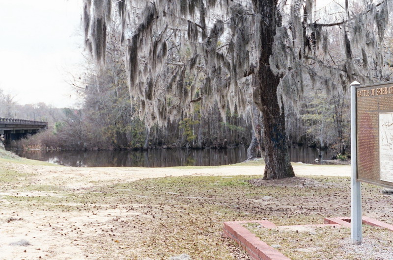 Brier CreekCanoeing · ~44 min drivePhoto: Dereddick, Public domain (via Wikimedia Commons)
- Furys Ferry Boat RampBoat launch · ~26 min drive
 Ogeechee RiverCanoeing · ~58 min drivePhoto: w:Flickr user Karol M, CC BY 2.0 (via Wikimedia Commons)
- Dartmouth RampBoat launch · ~35 min drive
- Kiokee CreekCanoeing · ~23 min drive
- Kayak River AccessBoat launch · ~41 min drive
- Uchee CreekCanoeing · ~28 min drive
- Lake Olmstead Boat RampBoat launch · ~42 min drive
- Middle CreekCanoeing · ~33 min drive
- Shuck Pen Boat RampBoat launch · ~48 min drive
Best time to visit Cherokee Boat Ramp
Best months: September–May. Best months have typical highs of 55–85 °F, lows of 30 °F or warmer (32 °F where the station doesn't record snow), at most one snowy day and no more than 12 wet days.
Jan
55° / 36°
Feb
59° / 38°
Mar
67° / 44°
Apr
76° / 51°
May
82° / 60°
Jun
89° / 68°
Jul
92° / 72°
Aug
91° / 71°
Sep
85° / 65°
Oct
76° / 55°
Nov
66° / 44°
Dec
58° / 38°
Typical high / low (°F) and days with rain or snow, 1991–2020. Measured at Clarks Hill 1 W, SC, 9.3 mi away at 400 ft. This station doesn't record snowfall. Source: NOAA NCEI U.S. Climate Normals 1991–2020.
Map and trail data © OpenStreetMap contributors
